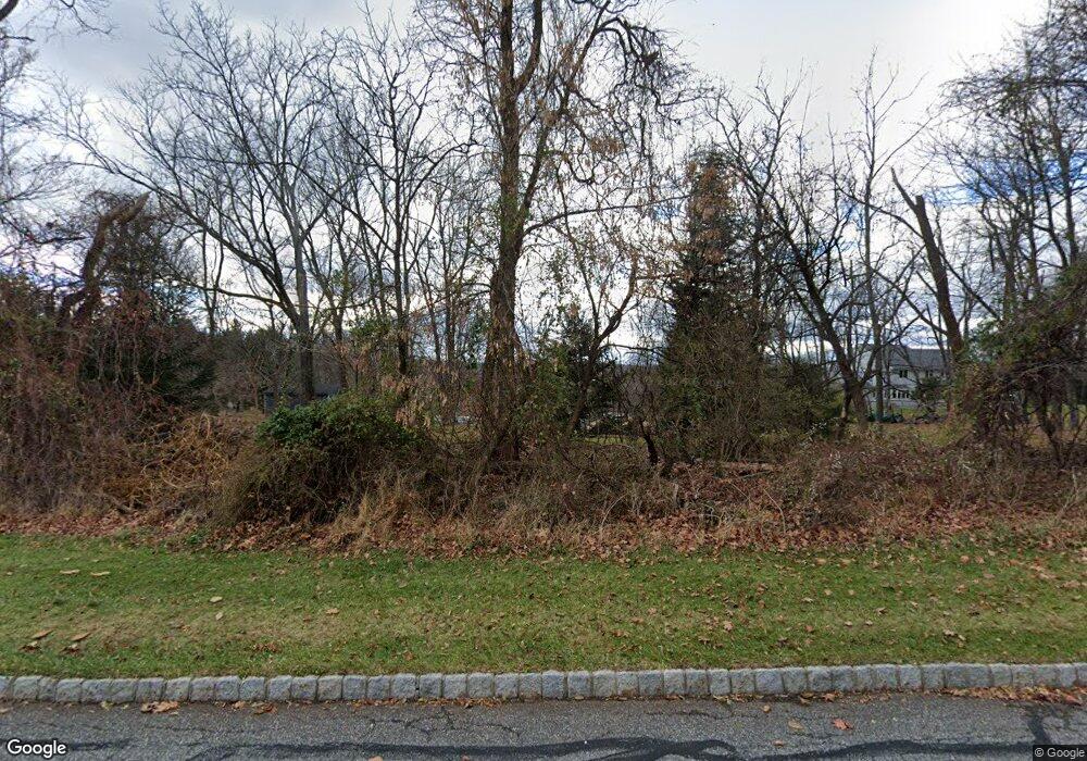
504 Ludlow Station Rd Asbury, NJ 08802
Estimated Value: $540,000 - $663,000
--
Bed
--
Bath
1,890
Sq Ft
$318/Sq Ft
Est. Value
About This Home
This home is located at 504 Ludlow Station Rd, Asbury, NJ 08802 and is currently estimated at $601,859, approximately $318 per square foot. 504 Ludlow Station Rd is a home located in Hunterdon County with nearby schools including Thomas.B. Conley Elementary School, Ethel Hoppock Middle School, and North Hunterdon High School.
Ownership History
Date
Name
Owned For
Owner Type
Purchase Details
Closed on
Jul 17, 1998
Sold by
Mccammon Lee
Bought by
Link Warren and Link Cara L
Current Estimated Value
Home Financials for this Owner
Home Financials are based on the most recent Mortgage that was taken out on this home.
Original Mortgage
$221,000
Outstanding Balance
$44,912
Interest Rate
6.92%
Estimated Equity
$556,947
Purchase Details
Closed on
Nov 15, 1988
Sold by
Pollara Robert and Pollara Rosemarie
Bought by
Mccammon Lee and Laura Beth
Create a Home Valuation Report for This Property
The Home Valuation Report is an in-depth analysis detailing your home's value as well as a comparison with similar homes in the area
Home Values in the Area
Average Home Value in this Area
Purchase History
| Date | Buyer | Sale Price | Title Company |
|---|---|---|---|
| Link Warren | $245,000 | -- | |
| Mccammon Lee | $215,000 | -- |
Source: Public Records
Mortgage History
| Date | Status | Borrower | Loan Amount |
|---|---|---|---|
| Open | Link Warren | $221,000 |
Source: Public Records
Tax History Compared to Growth
Tax History
| Year | Tax Paid | Tax Assessment Tax Assessment Total Assessment is a certain percentage of the fair market value that is determined by local assessors to be the total taxable value of land and additions on the property. | Land | Improvement |
|---|---|---|---|---|
| 2025 | $9,650 | $567,700 | $216,100 | $351,600 |
| 2024 | $9,286 | $296,100 | $122,400 | $173,700 |
| 2023 | $9,286 | $296,100 | $122,400 | $173,700 |
| 2022 | $8,981 | $296,100 | $122,400 | $173,700 |
| 2021 | $8,664 | $296,100 | $122,400 | $173,700 |
| 2020 | $8,868 | $296,100 | $122,400 | $173,700 |
| 2019 | $8,664 | $296,100 | $122,400 | $173,700 |
| 2018 | $8,448 | $296,100 | $122,400 | $173,700 |
| 2017 | $8,391 | $296,100 | $122,400 | $173,700 |
| 2016 | $8,581 | $296,100 | $122,400 | $173,700 |
| 2015 | $8,584 | $296,100 | $122,400 | $173,700 |
| 2014 | $8,303 | $296,100 | $122,400 | $173,700 |
Source: Public Records
Map
Nearby Homes
- 2 Stony Brook Ln
- 26 Thrush Ln
- 478 Charlestown Rd
- 853 Norton Church Rd
- 368 Strotz Rd
- 601 Fox Farm Rd
- 1 Dove Hollow Ln
- 420 Bellwood Ave
- 584 County Road 614
- 16 Surry Lane16
- 215 Asbury Anderson Rd
- 571 Route 614
- 20 Riddle Ct
- 69 Baptist Church Rd
- 38 S Polktown Rd
- 192 Bryans Rd
- 161 Bryans Rd
- 484 Route614
- 19 S Polktown Rd
- 20 S Polktown Rd
- 506 Ludlow Station Rd
- 470 Mine Rd
- 508 Ludlow Station Rd
- 106 Apgar Way
- 468 Mine Rd
- 104 Apgar Way
- 102 Apgar Way
- 512 Ludlow Station Rd
- 108 Apgar Way
- 507 Ludlow Station Rd
- 466 Mine Rd
- 205 Hogan Ct
- 110 Apgar Way
- 478 Mine Rd
- 475 Mine Rd
- 207 Hogan Ct
- 514 Ludlow Station Rd
- 464 Mine Rd
- 112 Apgar Way
- 115 Apgar Way
