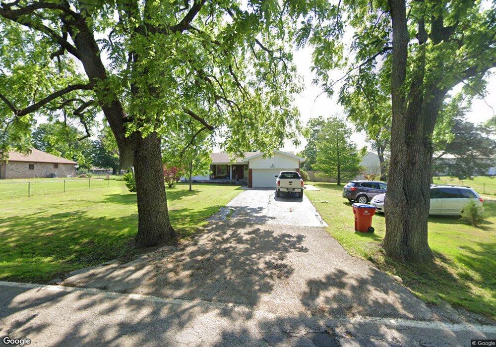
504 S Miller Rd Springfield, MO 65802
Young-Lilly NeighborhoodEstimated Value: $192,314 - $234,000
2
Beds
1
Bath
1,424
Sq Ft
$152/Sq Ft
Est. Value
About This Home
This home is located at 504 S Miller Rd, Springfield, MO 65802 and is currently estimated at $216,579, approximately $152 per square foot. 504 S Miller Rd is a home located in Greene County with nearby schools including Willard Intermediate-South.
Ownership History
Date
Name
Owned For
Owner Type
Purchase Details
Closed on
Dec 31, 2008
Sold by
Trinity Pentecostal Ministries
Bought by
Courtois Terry E and Courtois Marsha
Current Estimated Value
Home Financials for this Owner
Home Financials are based on the most recent Mortgage that was taken out on this home.
Original Mortgage
$134,271
Outstanding Balance
$88,864
Interest Rate
6.08%
Mortgage Type
New Conventional
Estimated Equity
$127,715
Create a Home Valuation Report for This Property
The Home Valuation Report is an in-depth analysis detailing your home's value as well as a comparison with similar homes in the area
Home Values in the Area
Average Home Value in this Area
Purchase History
| Date | Buyer | Sale Price | Title Company |
|---|---|---|---|
| Courtois Terry E | -- | None Available |
Source: Public Records
Mortgage History
| Date | Status | Borrower | Loan Amount |
|---|---|---|---|
| Open | Courtois Terry E | $134,271 |
Source: Public Records
Tax History
| Year | Tax Paid | Tax Assessment Tax Assessment Total Assessment is a certain percentage of the fair market value that is determined by local assessors to be the total taxable value of land and additions on the property. | Land | Improvement |
|---|---|---|---|---|
| 2025 | $999 | $20,480 | $6,590 | $13,890 |
| 2024 | $999 | $18,140 | $5,640 | $12,500 |
| 2023 | $995 | $18,140 | $5,640 | $12,500 |
| 2022 | $959 | $17,400 | $5,640 | $11,760 |
| 2021 | $960 | $17,400 | $5,640 | $11,760 |
| 2020 | $961 | $17,270 | $5,640 | $11,630 |
| 2019 | $957 | $17,270 | $5,640 | $11,630 |
| 2018 | $1,041 | $18,690 | $5,640 | $13,050 |
| 2017 | $1,032 | $18,070 | $5,640 | $12,430 |
| 2016 | $993 | $18,070 | $5,640 | $12,430 |
| 2015 | $985 | $18,070 | $5,640 | $12,430 |
| 2014 | $957 | $17,440 | $5,640 | $11,800 |
Source: Public Records
Map
Nearby Homes
- 505 S Casa Grande Ave
- 4365 W Juno St
- 651 S Mahn Ave
- 343 S Foster Ave
- 233 S Lulwood Ave
- 227 S Lulwood Ave
- 4800 W Mount Vernon St
- 4418 W State St
- 513 S Orchard Crest Ave
- 431 S Bernier Ave
- 4409 W Nicholas St
- 4407 W Nicholas St
- 826 S Orchard Crest Ave
- 832 S Orchard Crest Ave
- 867 S Orchard Crest Ave
- 854 S Orchard Crest Ave
- 3959 W Juno St
- 4442 W Normal St
- 875 S Orchard Crest Ave
- 804 S Jonathan Ave
- 502 S Miller Rd
- 445 S Miller Rd
- 511 S Miller Rd
- 503 S Miller Rd
- 503 S Miller Ave
- 435 S Miller Rd
- 500 S Miller Rd
- 4554 W Tarkio St
- 4550 W Tarkio St
- 4558 W Tarkio St
- 4546 W Tarkio St
- 423 S Miller Rd
- 539 S Miller Ave
- 4542 W Tarkio St
- 539 S Miller Rd
- 4538 W Tarkio St
- 403 S Miller Rd
- 4557 W Tarkio St
- 4534 W Tarkio St
- 4553 W Tarkio St
Your Personal Tour Guide
Ask me questions while you tour the home.