504 Wildcat Trail Jasper, GA 30143
Estimated Value: $1,023,000 - $1,188,000
4
Beds
5
Baths
2,766
Sq Ft
$401/Sq Ft
Est. Value
About This Home
This home is located at 504 Wildcat Trail, Jasper, GA 30143 and is currently estimated at $1,109,534, approximately $401 per square foot. 504 Wildcat Trail is a home with nearby schools including Robinson Elementary School, Dawson County Junior High School, and Dawson County Middle School.
Ownership History
Date
Name
Owned For
Owner Type
Purchase Details
Closed on
Mar 11, 2021
Sold by
Harris Frances L
Bought by
Harris Frances L and Harris Living Trust
Current Estimated Value
Purchase Details
Closed on
Mar 29, 2017
Bought by
Harris Don W and Harris Frances L
Purchase Details
Closed on
Jan 1, 2015
Sold by
Piedmont Land Grp Of Georg
Bought by
Big Canoe Wildcat Partners Llc
Purchase Details
Closed on
Dec 31, 2012
Sold by
Big Canoe Co Llc
Bought by
Piedmont Land Grp Of Georgia 2
Create a Home Valuation Report for This Property
The Home Valuation Report is an in-depth analysis detailing your home's value as well as a comparison with similar homes in the area
Home Values in the Area
Average Home Value in this Area
Purchase History
| Date | Buyer | Sale Price | Title Company |
|---|---|---|---|
| Harris Frances L | -- | None Available | |
| Harris Don W | $520,000 | -- | |
| Big Canoe Wildcat Partners Llc | -- | -- | |
| Piedmont Land Grp Of Georgia 2 | $120,000 | -- |
Source: Public Records
Tax History Compared to Growth
Tax History
| Year | Tax Paid | Tax Assessment Tax Assessment Total Assessment is a certain percentage of the fair market value that is determined by local assessors to be the total taxable value of land and additions on the property. | Land | Improvement |
|---|---|---|---|---|
| 2024 | $4,785 | $374,560 | $30,000 | $344,560 |
| 2023 | $4,785 | $346,240 | $30,000 | $316,240 |
| 2022 | $3,144 | $227,000 | $42,000 | $185,000 |
| 2021 | $3,321 | $227,000 | $42,000 | $185,000 |
| 2020 | $3,462 | $227,000 | $42,000 | $185,000 |
| 2019 | $4,342 | $261,920 | $78,400 | $183,520 |
| 2018 | $3,065 | $267,520 | $84,000 | $183,520 |
| 2017 | $5,497 | $229,845 | $37,920 | $191,925 |
| 2016 | $5,169 | $216,116 | $37,920 | $178,196 |
| 2015 | $5,335 | $216,116 | $37,920 | $178,196 |
| 2014 | $5,082 | $199,422 | $37,920 | $161,502 |
| 2013 | -- | $37,920 | $37,920 | $0 |
Source: Public Records
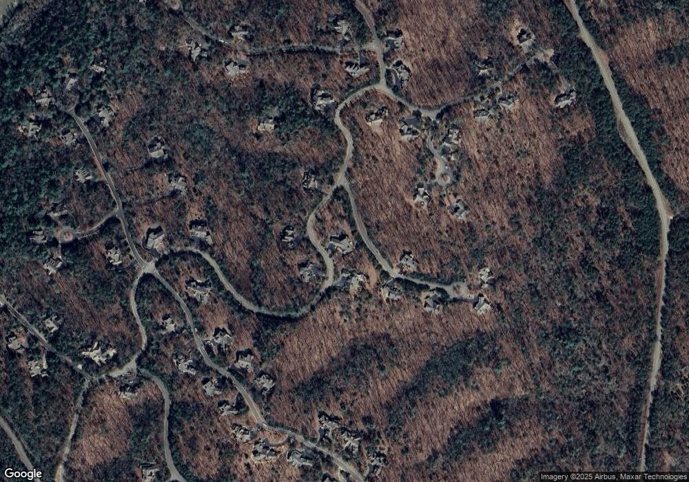
Map
Nearby Homes
- 46 Bee Balm Way
- 3356 Bee Balm Way
- 160 Bluestern Dr
- 838 Wildcat Trail
- 3285 Wood Poppy Dr
- 331 Bluestern Dr SE
- 0 Steve Tate Hwy Unit 24631406
- 98 Bobcat Ridge Dr
- 199 Wood Poppy View
- 3461 Wild Pansy Ridge
- 285 Bear Creek Dr
- 39 Bear Creek Dr
- 442 Blazingstar Trail
- 495 Bear Creek Dr
- 121 Sunuwa Way
- 44 Sassafras Ridge
- 00 Afton Rd
- 0 Afton Rd Unit 1 10486883
- 0 Afton Rd Unit 3 10486978
- 0 Afton Rd Unit 4 10486991
- 650 Wildcat Trail
- 529 Wildcat Trail
- 476 Wildcat Trail
- 543 Wildcat Trail
- 481 Wildcat Trail
- 3404 Widlcat Trail
- 3350 Blue Violet Trail
- 106 Blue Violet Trail
- 3410 Wildcat Trail
- 73 Blue Sage Cir
- 647 Wildcat Trail
- 740 Wildcat Trail
- 21 Bee Balm Way
- 25 Bluestern Dr SE
- 65 Bluestern Dr SE
- 3344 Wildcat Trail
- 3405 Wildcat Trail
- 3403 Wildcat Trail
- 3425 Wildcat Trail
- 3406 Wildcat Trail