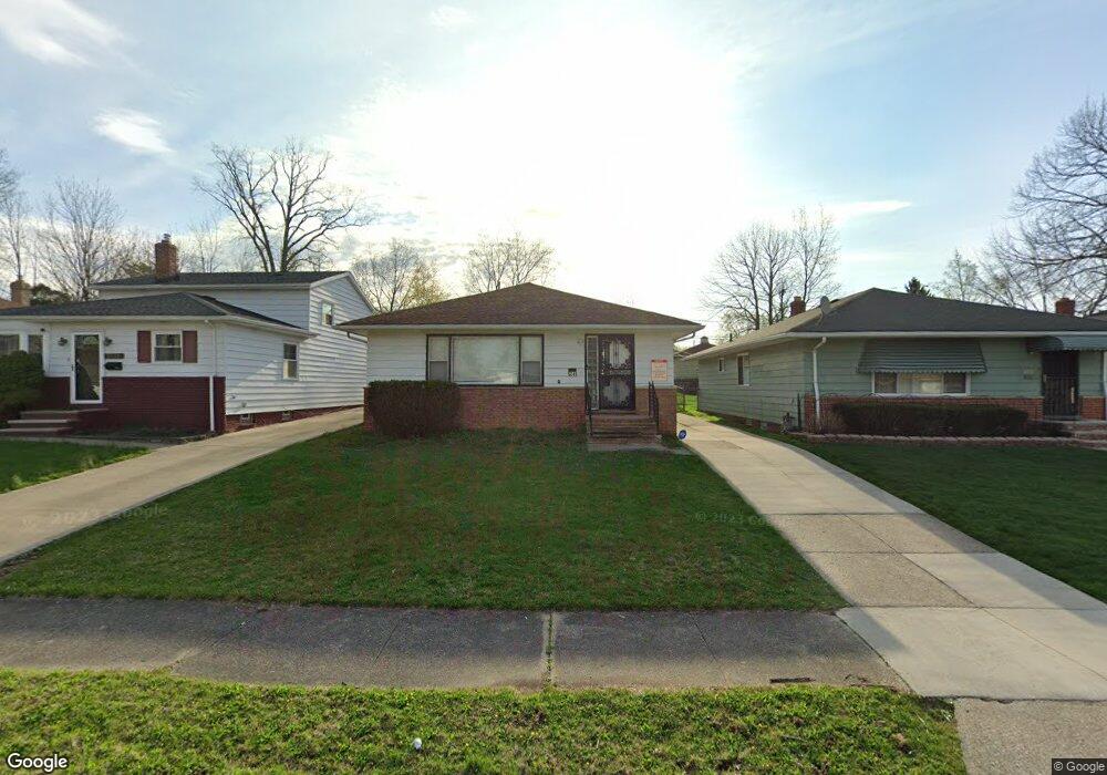
5041 Cato St Unit M Maple Heights, OH 44137
Estimated Value: $121,357 - $163,000
3
Beds
2
Baths
1,176
Sq Ft
$118/Sq Ft
Est. Value
About This Home
This home is located at 5041 Cato St Unit M, Maple Heights, OH 44137 and is currently estimated at $139,089, approximately $118 per square foot. 5041 Cato St Unit M is a home located in Cuyahoga County with nearby schools including Abraham Lincoln Elementary School, Rockside/ J.F. Kennedy School, and Italy High School.
Ownership History
Date
Name
Owned For
Owner Type
Purchase Details
Closed on
Jul 22, 2019
Sold by
Kinton Deshawn
Bought by
D & A Investment Group Company Llc
Current Estimated Value
Purchase Details
Closed on
Oct 18, 2018
Sold by
Chavers Dejwana S
Bought by
Dna Investment Group Company Llc
Purchase Details
Closed on
Jul 30, 1999
Sold by
Zenobi Carol M
Bought by
Lively Ruby and Boyd Dorothy
Purchase Details
Closed on
Jan 1, 1975
Bought by
Zenobi Carol M
Create a Home Valuation Report for This Property
The Home Valuation Report is an in-depth analysis detailing your home's value as well as a comparison with similar homes in the area
Home Values in the Area
Average Home Value in this Area
Purchase History
| Date | Buyer | Sale Price | Title Company |
|---|---|---|---|
| D & A Investment Group Company Llc | -- | Reed Tyrone E | |
| Kinton De Shawn | $47,500 | None Available | |
| Dna Investment Group Company Llc | -- | None Available | |
| Chavers Dejwana S | $44,100 | None Available | |
| Lively Ruby | $94,000 | -- | |
| Zenobi Carol M | -- | -- |
Source: Public Records
Tax History Compared to Growth
Tax History
| Year | Tax Paid | Tax Assessment Tax Assessment Total Assessment is a certain percentage of the fair market value that is determined by local assessors to be the total taxable value of land and additions on the property. | Land | Improvement |
|---|---|---|---|---|
| 2024 | $4,110 | $37,870 | $7,280 | $30,590 |
| 2023 | $1,796 | $15,440 | $4,060 | $11,380 |
| 2022 | $1,790 | $15,440 | $4,060 | $11,380 |
| 2021 | $1,902 | $15,440 | $4,060 | $11,380 |
| 2020 | $2,177 | $16,630 | $3,330 | $13,300 |
| 2019 | $2,053 | $47,500 | $9,500 | $38,000 |
| 2018 | $3,921 | $16,630 | $3,330 | $13,300 |
| 2017 | $2,064 | $15,440 | $3,080 | $12,360 |
| 2016 | $2,733 | $15,440 | $3,080 | $12,360 |
| 2015 | $1,002 | $15,440 | $3,080 | $12,360 |
| 2014 | $1,002 | $16,980 | $3,400 | $13,580 |
Source: Public Records
Map
Nearby Homes
- 5031 Cato St
- 5061 Philip Ave
- 5082 Philip Ave
- 5110 Philip Ave
- 5199 Arch St
- 5239 Arch St
- 5231 Philip Ave
- 5185 Clement Ave
- 5234 Erwin St
- 5257 Philip Ave
- 5208 Clement Ave
- 5212 Catherine St
- 16712 Kollin Ave
- 4737 E 174th St
- 5320 Clement Ave
- 5210 Theodore St
- 19309 Nitra Ave
- 17916 North Blvd
- 5265 Bellview St
- 17912 North Blvd