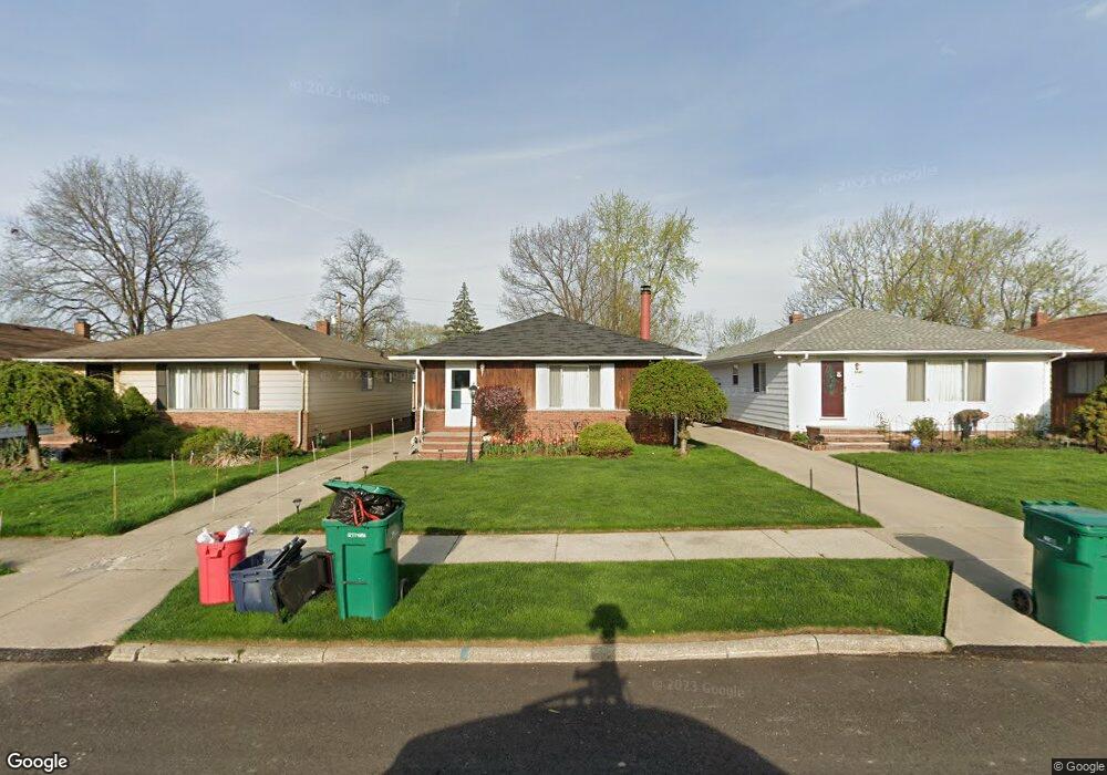
5044 Cato St Maple Heights, OH 44137
Estimated Value: $122,651 - $181,000
3
Beds
1
Bath
1,176
Sq Ft
$123/Sq Ft
Est. Value
About This Home
This home is located at 5044 Cato St, Maple Heights, OH 44137 and is currently estimated at $145,163, approximately $123 per square foot. 5044 Cato St is a home located in Cuyahoga County with nearby schools including Abraham Lincoln Elementary School, Rockside/ J.F. Kennedy School, and Barack Obama School.
Ownership History
Date
Name
Owned For
Owner Type
Purchase Details
Closed on
Jul 16, 1997
Sold by
Kovach Daniel J
Bought by
Higgins Bernice M
Current Estimated Value
Home Financials for this Owner
Home Financials are based on the most recent Mortgage that was taken out on this home.
Original Mortgage
$86,503
Outstanding Balance
$12,882
Interest Rate
7.94%
Mortgage Type
FHA
Estimated Equity
$132,281
Purchase Details
Closed on
May 27, 1986
Sold by
Sorace Frank J and Sorace D
Bought by
Kovach Daniel J
Purchase Details
Closed on
Jan 1, 1975
Bought by
Sorace Frank J and Sorace D
Create a Home Valuation Report for This Property
The Home Valuation Report is an in-depth analysis detailing your home's value as well as a comparison with similar homes in the area
Home Values in the Area
Average Home Value in this Area
Purchase History
| Date | Buyer | Sale Price | Title Company |
|---|---|---|---|
| Higgins Bernice M | $86,500 | -- | |
| Kovach Daniel J | $58,000 | -- | |
| Sorace Frank J | -- | -- |
Source: Public Records
Mortgage History
| Date | Status | Borrower | Loan Amount |
|---|---|---|---|
| Open | Higgins Bernice M | $86,503 |
Source: Public Records
Tax History Compared to Growth
Tax History
| Year | Tax Paid | Tax Assessment Tax Assessment Total Assessment is a certain percentage of the fair market value that is determined by local assessors to be the total taxable value of land and additions on the property. | Land | Improvement |
|---|---|---|---|---|
| 2024 | $3,520 | $39,480 | $7,245 | $32,235 |
| 2023 | $2,485 | $23,460 | $4,380 | $19,080 |
| 2022 | $2,476 | $23,450 | $4,380 | $19,080 |
| 2021 | $2,640 | $23,450 | $4,380 | $19,080 |
| 2020 | $2,255 | $17,780 | $3,330 | $14,460 |
| 2019 | $2,243 | $50,800 | $9,500 | $41,300 |
| 2018 | $2,231 | $17,780 | $3,330 | $14,460 |
| 2017 | $2,159 | $16,730 | $3,080 | $13,650 |
| 2016 | $2,089 | $16,730 | $3,080 | $13,650 |
| 2015 | $2,093 | $16,730 | $3,080 | $13,650 |
| 2014 | $2,093 | $18,380 | $3,400 | $14,980 |
Source: Public Records
Map
Nearby Homes
- 5061 Philip Ave
- 5031 Cato St
- 5082 Philip Ave
- 5110 Philip Ave
- 5199 Arch St
- 5185 Clement Ave
- 5231 Philip Ave
- 5239 Arch St
- 5208 Clement Ave
- 5257 Philip Ave
- 5234 Erwin St
- 5212 Catherine St
- 16712 Kollin Ave
- 5210 Theodore St
- 5320 Clement Ave
- 4737 E 174th St
- 17916 North Blvd
- 17912 North Blvd
- 16241 Glenburn Ave
- 5265 Bellview St