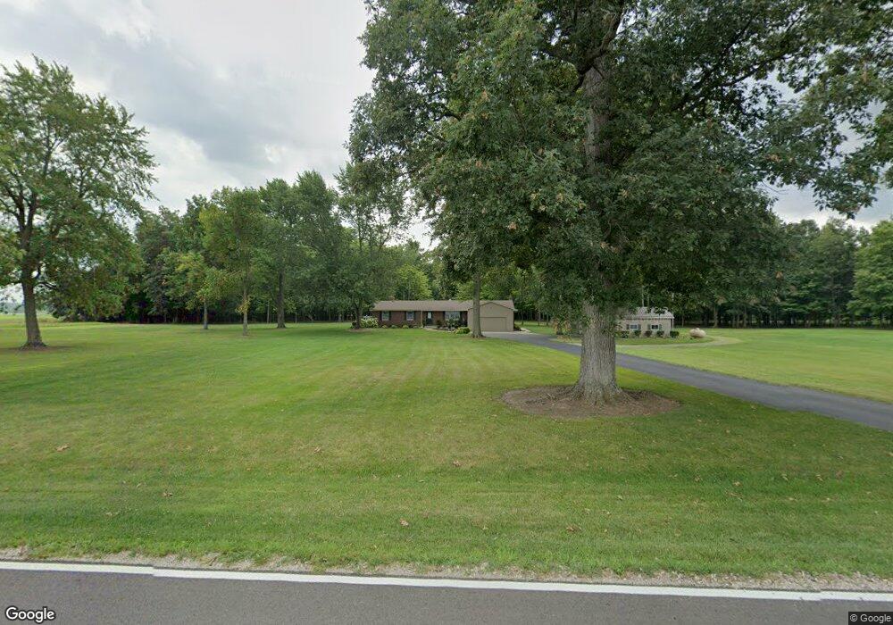
5047 David Rd Delaware, OH 43015
Estimated Value: $406,000 - $537,000
3
Beds
2
Baths
1,586
Sq Ft
$299/Sq Ft
Est. Value
About This Home
This home is located at 5047 David Rd, Delaware, OH 43015 and is currently estimated at $473,625, approximately $298 per square foot. 5047 David Rd is a home located in Delaware County with nearby schools including Buckeye Valley High School.
Ownership History
Date
Name
Owned For
Owner Type
Purchase Details
Closed on
Feb 18, 2011
Sold by
Russell John I and Russell Carolyn J
Bought by
Russell John I and Russell Carolyn J
Current Estimated Value
Create a Home Valuation Report for This Property
The Home Valuation Report is an in-depth analysis detailing your home's value as well as a comparison with similar homes in the area
Home Values in the Area
Average Home Value in this Area
Purchase History
| Date | Buyer | Sale Price | Title Company |
|---|---|---|---|
| Russell John I | -- | Attorney | |
| Russell John I | $27,500 | Attorney |
Source: Public Records
Tax History
| Year | Tax Paid | Tax Assessment Tax Assessment Total Assessment is a certain percentage of the fair market value that is determined by local assessors to be the total taxable value of land and additions on the property. | Land | Improvement |
|---|---|---|---|---|
| 2024 | $4,473 | $131,080 | $37,350 | $93,730 |
| 2023 | $4,495 | $131,080 | $37,350 | $93,730 |
| 2022 | $4,047 | $106,190 | $24,920 | $81,270 |
| 2021 | $4,052 | $106,190 | $24,920 | $81,270 |
| 2020 | $4,071 | $106,190 | $24,920 | $81,270 |
| 2019 | $3,419 | $89,400 | $21,670 | $67,730 |
| 2018 | $3,469 | $89,400 | $21,670 | $67,730 |
| 2017 | $2,845 | $77,600 | $19,180 | $58,420 |
| 2016 | $2,649 | $77,600 | $19,180 | $58,420 |
| 2015 | $2,575 | $72,350 | $19,180 | $53,170 |
| 2014 | $2,420 | $72,350 | $19,180 | $53,170 |
| 2013 | $2,466 | $70,320 | $19,180 | $51,140 |
Source: Public Records
Map
Nearby Homes
- 6685 State Route 37 W
- 3414 State Route 203
- 3232 Gallant Rd
- 715 Tyler Rd
- 4389 State Route 203
- 4093 State Route 257
- 130 Cedar Creek St
- 159 Marblewood Dr
- 2961 Warrensburg Rd
- 682 Penwell Dr
- 615 S Section Line Rd
- Harmony Plan at Springer Woods
- Stamford Plan at Springer Woods
- Newcastle Plan at Springer Woods
- Aldridge Plan at Springer Woods
- Bellamy Plan at Springer Woods
- Henley Plan at Springer Woods
- Fairton Plan at Springer Woods
- Pendleton Plan at Springer Woods
- Holcombe Plan at Springer Woods
- 0 David Rd
- 5165 David Rd
- 5181 David Rd
- 5170 David Rd
- 4926 David Rd
- 4879 David Rd
- 5300 David Rd
- 1482 River Rd
- 5511 David Rd
- 5501 David Rd
- 1468 River Rd
- 1526 River Rd
- 981 River Rd
- 0 River Rd Unit 2655643
- 0 River Rd Unit 116 2111454
- 0 River Rd Unit 2100396
- 0 River Rd Unit 116 87028
- 0 River Rd Unit L116 9808730
- 0 River Rd
- 1178 River Rd
