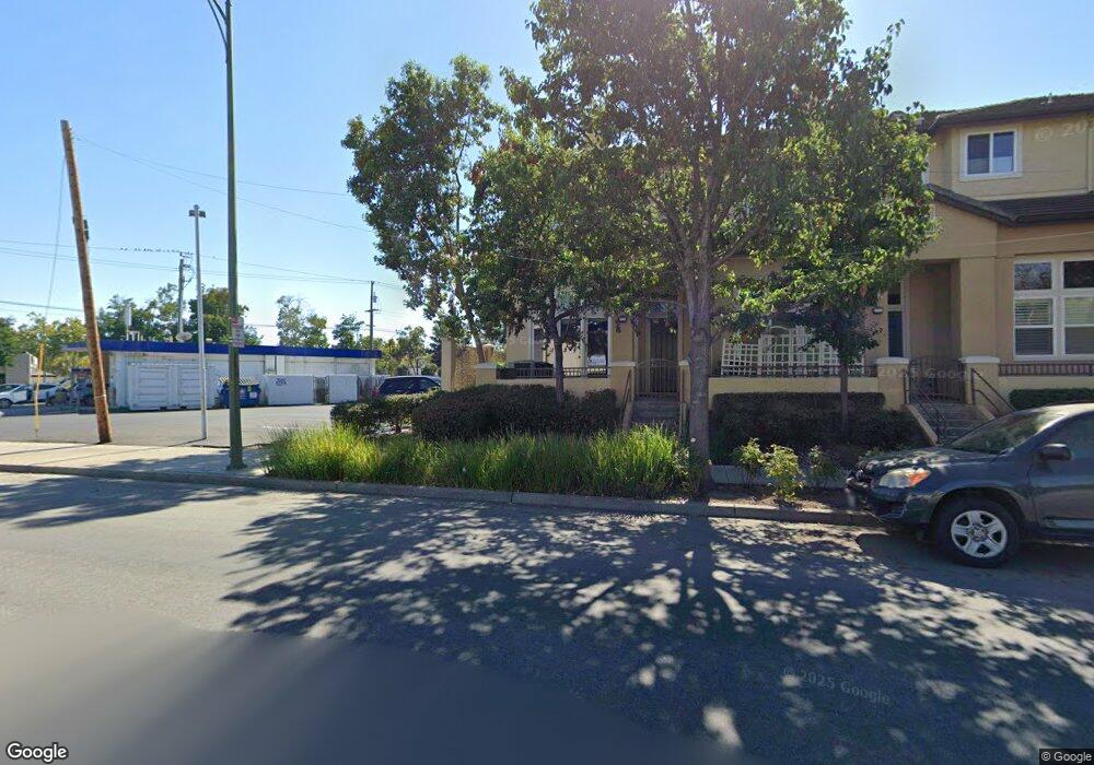
5048 Graves Ave Unit 68 San Jose, CA 95129
Country Lane NeighborhoodEstimated Value: $1,445,000 - $1,753,000
3
Beds
3
Baths
1,604
Sq Ft
$1,018/Sq Ft
Est. Value
About This Home
This home is located at 5048 Graves Ave Unit 68, San Jose, CA 95129 and is currently estimated at $1,632,776, approximately $1,017 per square foot. 5048 Graves Ave Unit 68 is a home located in Santa Clara County with nearby schools including Country Lane Elementary School, Moreland Middle School, and Prospect High School.
Ownership History
Date
Name
Owned For
Owner Type
Purchase Details
Closed on
Feb 28, 2006
Sold by
Toll Land Xx Lp
Bought by
Cheng Hong Wei and Cheng Hong Ray
Current Estimated Value
Home Financials for this Owner
Home Financials are based on the most recent Mortgage that was taken out on this home.
Original Mortgage
$250,000
Interest Rate
6.21%
Mortgage Type
Purchase Money Mortgage
Create a Home Valuation Report for This Property
The Home Valuation Report is an in-depth analysis detailing your home's value as well as a comparison with similar homes in the area
Home Values in the Area
Average Home Value in this Area
Purchase History
| Date | Buyer | Sale Price | Title Company |
|---|---|---|---|
| Cheng Hong Wei | $834,000 | First American Title |
Source: Public Records
Mortgage History
| Date | Status | Borrower | Loan Amount |
|---|---|---|---|
| Previous Owner | Cheng Hong Wei | $250,000 |
Source: Public Records
Tax History Compared to Growth
Tax History
| Year | Tax Paid | Tax Assessment Tax Assessment Total Assessment is a certain percentage of the fair market value that is determined by local assessors to be the total taxable value of land and additions on the property. | Land | Improvement |
|---|---|---|---|---|
| 2025 | $14,969 | $1,116,949 | $558,474 | $558,475 |
| 2024 | $14,969 | $1,095,049 | $547,524 | $547,525 |
| 2023 | $14,789 | $1,073,579 | $536,789 | $536,790 |
| 2022 | $14,569 | $1,052,529 | $526,264 | $526,265 |
| 2021 | $14,337 | $1,031,893 | $515,946 | $515,947 |
| 2020 | $14,048 | $1,021,313 | $510,656 | $510,657 |
| 2019 | $13,544 | $1,001,289 | $500,644 | $500,645 |
| 2018 | $13,220 | $981,657 | $490,828 | $490,829 |
| 2017 | $13,065 | $962,409 | $481,204 | $481,205 |
| 2016 | $12,387 | $943,539 | $471,769 | $471,770 |
| 2015 | $12,301 | $929,367 | $464,683 | $464,684 |
| 2014 | $10,878 | $849,000 | $424,500 | $424,500 |
Source: Public Records
Map
Nearby Homes
- 5043 Le Miccine Terrace Unit 76
- 1370 Saratoga Ave
- 1367 Cordelia Ave
- 1607 Duvall Dr
- 1364 Saratoga Ave
- 1957 Colusa Way
- 4497 Latimer Ave
- 1918 Castro Dr
- 2025 Woodglen Dr
- 1797 W Campbell Ave
- 12584 Paseo Flores
- 5635 W Walbrook Dr
- 2090 Elmgrove Ln
- 5187 Doyle Rd
- 18796 Westview Dr
- 18991 Greenbrook Ct
- 4640 Venice Way
- 1154 Bentoak Ln
- 1815 Bucknall Rd
- 1803 Bucknall Rd
- 5054 Graves Ave
- 5060 Graves Ave
- 5046 Ruffino Terrace Unit 72
- 5050 Ruffino Terrace
- 5056 Ruffino Terrace Unit 70
- 5062 Ruffino Terrace Unit 69
- 5066 Graves Ave
- 5043 Graves Ave Unit H
- 5068 Ruffino Terrace
- 5072 Graves Ave
- 5037 Le Miccine Terrace Unit 77
- 5049 Le Miccine Terrace
- 5074 Ruffino Terrace
- 5055 Le Miccine Terrace Unit 74
- 5078 Graves Ave
- 5061 Le Miccine Terrace
- 5080 Ruffino Terrace
- 5084 Graves Ave Unit 42
- 5067 Le Miccine Terrace
- 5086 Ruffino Terrace