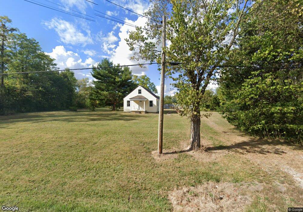
5048 State Route 350 Clarksville, OH 45113
Estimated Value: $178,327 - $305,000
3
Beds
1
Bath
1,120
Sq Ft
$201/Sq Ft
Est. Value
About This Home
This home is located at 5048 State Route 350, Clarksville, OH 45113 and is currently estimated at $224,582, approximately $200 per square foot. 5048 State Route 350 is a home located in Clinton County with nearby schools including Clinton-Massie Elementary School, Clinton-Massie Middle School, and Clinton-Massie High School.
Ownership History
Date
Name
Owned For
Owner Type
Purchase Details
Closed on
Sep 25, 2014
Sold by
Lamb Jennifer L
Bought by
Lamb Ritchie G
Current Estimated Value
Purchase Details
Closed on
Dec 13, 2013
Sold by
Ralph D Fizer Jr Sheriff Of Clinton Cou and Lunsford James
Bought by
Lamb Ritchie and Lamb Jenifer
Purchase Details
Closed on
Dec 29, 2006
Sold by
Garrison Jerry L
Bought by
Lunsford James and Lunsford Christina
Purchase Details
Closed on
Aug 6, 2002
Sold by
Woten Carl
Bought by
Garrison Jerry L
Purchase Details
Closed on
Jan 1, 1990
Bought by
Woten Carl and Woten Pauline
Create a Home Valuation Report for This Property
The Home Valuation Report is an in-depth analysis detailing your home's value as well as a comparison with similar homes in the area
Home Values in the Area
Average Home Value in this Area
Purchase History
| Date | Buyer | Sale Price | Title Company |
|---|---|---|---|
| Lamb Ritchie G | -- | Attorney | |
| Lamb Ritchie | -- | -- | |
| Lunsford James | $109,433 | -- | |
| Garrison Jerry L | $56,300 | -- | |
| Woten Carl | -- | -- |
Source: Public Records
Tax History Compared to Growth
Tax History
| Year | Tax Paid | Tax Assessment Tax Assessment Total Assessment is a certain percentage of the fair market value that is determined by local assessors to be the total taxable value of land and additions on the property. | Land | Improvement |
|---|---|---|---|---|
| 2024 | $1,329 | $38,500 | $13,860 | $24,640 |
| 2023 | $1,329 | $38,500 | $13,860 | $24,640 |
| 2022 | $821 | $21,930 | $6,760 | $15,170 |
| 2021 | $822 | $21,930 | $6,760 | $15,170 |
| 2020 | $1,189 | $21,930 | $6,760 | $15,170 |
| 2019 | $1,082 | $19,190 | $7,830 | $11,360 |
| 2018 | $703 | $19,190 | $7,830 | $11,360 |
| 2017 | $685 | $19,190 | $7,830 | $11,360 |
| 2016 | $851 | $23,800 | $8,500 | $15,300 |
| 2015 | $851 | $23,800 | $8,500 | $15,300 |
| 2013 | $875 | $23,520 | $8,500 | $15,020 |
Source: Public Records
Map
Nearby Homes
- 4347 Ohio 350
- 6182 Ohio 730
- 9132 St Rt 730
- 9132 State Route 730
- 0 Old State Rd Unit 1849352
- 9356 Ohio 350
- 450 Pansy Rd
- 582 Nauvoo Rd
- 279 Frances Dr
- 6182 State Route 730
- 216 Pansy Rd
- 104 Linton Ave
- 420 Kensington Dr
- 1623 Reeder Rd
- 1056 Halpin Rd
- 1896 Reeder Rd
- 1211 Pratt Rd
- 21 Kimlor Ln
- 2211 Reeder Rd
- 4255 Nicholson Rd
- 4980 State Route 350
- 5043 St Rt 350
- 5071 State Route 350
- 5071 W St Rt 350
- 5124 State Route 350
- 4989 State Route 350
- 5103 State Route 350
- 5103 St Rt 350
- 4997 State Route 350
- 5131 State Route 350
- 4901 State Route 350
- 5252 State Route 350
- 5187 State Route 350
- 5187 St Rt 350
- 5118 State Route 350
- 5118 State Route 350
- 4839 State Route 350
- 5292 State Route 350
- 4811 State Route 350
- 4776 State Route 350