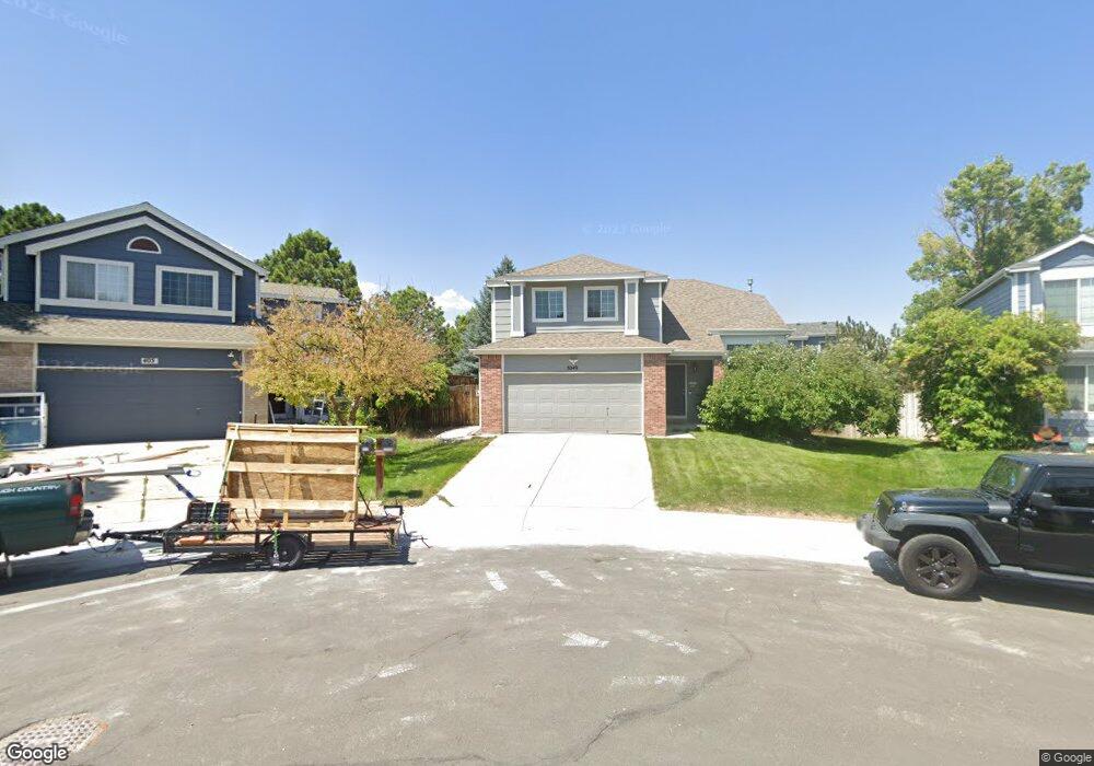
5049 Dakota Ave Castle Rock, CO 80104
Founders Village NeighborhoodEstimated Value: $516,638 - $551,000
3
Beds
4
Baths
1,782
Sq Ft
$298/Sq Ft
Est. Value
About This Home
This home is located at 5049 Dakota Ave, Castle Rock, CO 80104 and is currently estimated at $531,910, approximately $298 per square foot. 5049 Dakota Ave is a home located in Douglas County with nearby schools including Rock Ridge Elementary School, Mesa Middle School, and Douglas County High School.
Ownership History
Date
Name
Owned For
Owner Type
Purchase Details
Closed on
Apr 30, 1998
Sold by
Hardman Richard K
Bought by
Latak Isabella
Current Estimated Value
Home Financials for this Owner
Home Financials are based on the most recent Mortgage that was taken out on this home.
Original Mortgage
$153,950
Interest Rate
7.09%
Mortgage Type
FHA
Purchase Details
Closed on
May 20, 1993
Sold by
Richmond Homes Inc Ii
Bought by
Hardman Richard K
Purchase Details
Closed on
Dec 28, 1989
Sold by
Mdc Land Corp
Bought by
Richmond American Homes Colorado Inc Ii
Create a Home Valuation Report for This Property
The Home Valuation Report is an in-depth analysis detailing your home's value as well as a comparison with similar homes in the area
Home Values in the Area
Average Home Value in this Area
Purchase History
| Date | Buyer | Sale Price | Title Company |
|---|---|---|---|
| Latak Isabella | $159,999 | -- | |
| Hardman Richard K | $111,200 | -- | |
| Richmond American Homes Colorado Inc Ii | -- | -- |
Source: Public Records
Mortgage History
| Date | Status | Borrower | Loan Amount |
|---|---|---|---|
| Closed | Latak Isabella | $153,950 |
Source: Public Records
Tax History Compared to Growth
Tax History
| Year | Tax Paid | Tax Assessment Tax Assessment Total Assessment is a certain percentage of the fair market value that is determined by local assessors to be the total taxable value of land and additions on the property. | Land | Improvement |
|---|---|---|---|---|
| 2024 | $5,132 | $34,930 | $8,770 | $26,160 |
| 2023 | $5,162 | $34,930 | $8,770 | $26,160 |
| 2022 | $3,835 | $24,220 | $6,440 | $17,780 |
| 2021 | $3,905 | $24,220 | $6,440 | $17,780 |
| 2020 | $3,738 | $23,860 | $5,420 | $18,440 |
| 2019 | $3,740 | $23,860 | $5,420 | $18,440 |
| 2018 | $3,213 | $20,340 | $4,180 | $16,160 |
| 2017 | $3,092 | $20,340 | $4,180 | $16,160 |
| 2016 | $2,551 | $17,520 | $4,020 | $13,500 |
| 2015 | $2,584 | $17,520 | $4,020 | $13,500 |
| 2014 | $2,174 | $14,150 | $3,420 | $10,730 |
Source: Public Records
Map
Nearby Homes
- 5181 Devon Ave
- 510 Fairhaven St
- 5282 Devon Ave
- 576 S Lindsey St
- 176 S Pembrook St
- 596 S Lindsey St
- 630 Fairhaven St
- 321 Lockwood St
- 378 Benton St
- 4590 Wakefield Ave
- 5230 E Kensington Ave
- 5323 E Sandpiper Ave
- NA Ridge Rd
- 1025 S Lindsey St
- 4372 E Andover Ave
- 1005 Parsons Ave
- 4947 Stoneham Ave
- 157 S Quicksilver Ave
- 5326 E Howe St
- 4937 Parsons Way
- 5069 Dakota Ave
- 405 S Lindsey St
- 5048 E Crestone Ave
- 5028 E Crestone Ave
- 5089 Dakota Ave
- 425 S Lindsey St
- 5088 E Crestone Ave
- 432 S Lindsey St
- 445 S Lindsey St
- 397 S Lindsey St
- 472 S Lindsey St
- 465 S Lindsey St
- 5090 Dakota Ave
- 386 S Lindsey St
- 387 S Lindsey St
- 5109 Dakota Ave
- 297 S Pembrook St
- 5108 E Crestone Ave
- 480 Fairhaven St
- 492 S Lindsey St