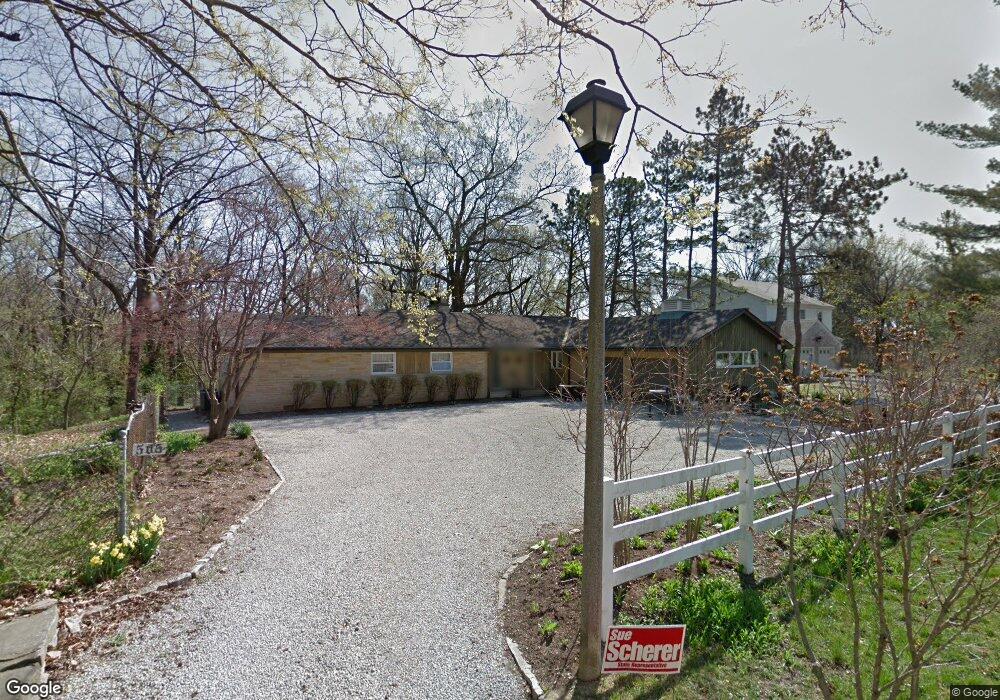
505 Bradley Ct Decatur, IL 62522
Near West NeighborhoodEstimated Value: $148,000 - $251,000
3
Beds
3
Baths
3,575
Sq Ft
$53/Sq Ft
Est. Value
About This Home
This home is located at 505 Bradley Ct, Decatur, IL 62522 and is currently estimated at $190,754, approximately $53 per square foot. 505 Bradley Ct is a home located in Macon County with nearby schools including Dennis Lab School, St. Patrick School, and Teen Challenge-Home For Girls.
Ownership History
Date
Name
Owned For
Owner Type
Purchase Details
Closed on
May 15, 2018
Sold by
Sykes Matthew S and Sykes Jennifer V
Bought by
Mixell Marle A and Mixell Melissa K
Current Estimated Value
Home Financials for this Owner
Home Financials are based on the most recent Mortgage that was taken out on this home.
Original Mortgage
$165,938
Outstanding Balance
$142,878
Interest Rate
4.4%
Mortgage Type
FHA
Estimated Equity
$47,876
Create a Home Valuation Report for This Property
The Home Valuation Report is an in-depth analysis detailing your home's value as well as a comparison with similar homes in the area
Home Values in the Area
Average Home Value in this Area
Purchase History
| Date | Buyer | Sale Price | Title Company |
|---|---|---|---|
| Mixell Marle A | $169,000 | None Available |
Source: Public Records
Mortgage History
| Date | Status | Borrower | Loan Amount |
|---|---|---|---|
| Open | Mixell Marle A | $165,938 |
Source: Public Records
Tax History Compared to Growth
Tax History
| Year | Tax Paid | Tax Assessment Tax Assessment Total Assessment is a certain percentage of the fair market value that is determined by local assessors to be the total taxable value of land and additions on the property. | Land | Improvement |
|---|---|---|---|---|
| 2024 | $4,229 | $49,683 | $9,008 | $40,675 |
| 2023 | $4,173 | $47,924 | $8,689 | $39,235 |
| 2022 | $3,922 | $44,347 | $8,041 | $36,306 |
| 2021 | $3,644 | $41,415 | $7,509 | $33,906 |
| 2020 | $4,199 | $39,492 | $7,160 | $32,332 |
| 2019 | $4,199 | $39,492 | $7,160 | $32,332 |
| 2018 | $3,449 | $38,825 | $7,331 | $31,494 |
| 2017 | $3,547 | $39,862 | $7,527 | $32,335 |
| 2016 | $3,621 | $40,269 | $7,604 | $32,665 |
| 2015 | $3,430 | $39,557 | $7,470 | $32,087 |
| 2014 | $3,179 | $39,165 | $7,396 | $31,769 |
| 2013 | $3,307 | $40,636 | $7,674 | $32,962 |
Source: Public Records
Map
Nearby Homes
- 580 Powers Ln
- 530 Powers Ln
- 628 W Forest Ave
- 650 S Crea St
- 437 Powers Ln
- 617 W Decatur St
- 440 W Macon St
- 450 W Macon St
- 612 W Macon St
- 657 W Wood St
- 712 W Main St
- 320 W Main St
- 899 W Main St
- 281 W Prairie Ave
- 442 W Prairie Ave
- 452 W Prairie Ave
- 366 W Prairie Ave
- 233 N Edward St
- 609 W William St
- 1005 W Main St
- 2 Powers Lane Place
- 525 Bradley Ct
- 526 Bradley Ct
- 545 Bradley Ct
- 538 Bradley Ct
- 595 Powers Ln
- 8 Powers Lane Place
- 650 Powers Ln
- 501 W Fielding Ct
- 564 Bradley Ct
- 505 W Fielding Ct
- 600 Powers Ln
- 5 Powers Lane Place
- 585 Powers Ln
- 670 S Monroe St
- 630 S Monroe St
- 524 W Fielding Ct
- 530 W Fielding Ct
- 669 S Monroe St
- 3 Powers Lane Place