Estimated Value: $578,208 - $624,000
3
Beds
2
Baths
2,962
Sq Ft
$204/Sq Ft
Est. Value
About This Home
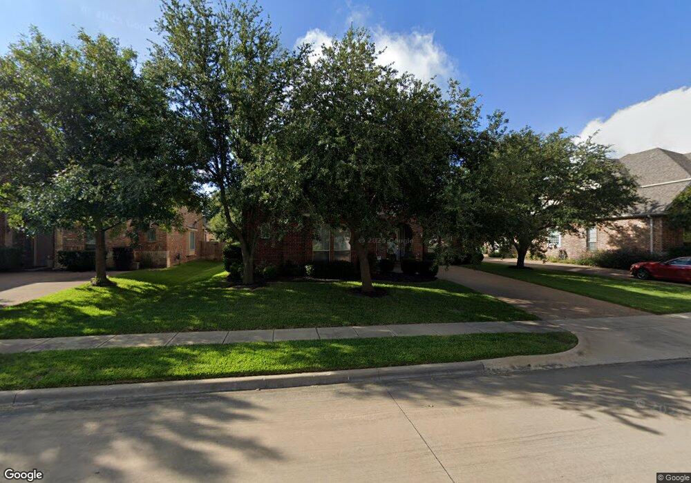
This home is located at 505 Dalton Dr, Hurst, TX 76054 and is currently estimated at $602,802, approximately $203 per square foot. 505 Dalton Dr is a home located in Tarrant County with nearby schools including W.A. Porter Elementary School, Smithfield Middle School, and Birdville High School.
Ownership History
Date
Name
Owned For
Owner Type
Purchase Details
Closed on
Aug 29, 2002
Sold by
Goodman Family Of Builders Lp
Bought by
Minshew James Randal and Minshew Keri Beth
Current Estimated Value
Home Financials for this Owner
Home Financials are based on the most recent Mortgage that was taken out on this home.
Original Mortgage
$155,000
Outstanding Balance
$65,835
Interest Rate
6.47%
Estimated Equity
$536,968
Purchase Details
Closed on
Apr 10, 2002
Sold by
Basin Development Company Lp
Bought by
Goodman Family Of Builders Lp
Create a Home Valuation Report for This Property
The Home Valuation Report is an in-depth analysis detailing your home's value as well as a comparison with similar homes in the area
Home Values in the Area
Average Home Value in this Area
Purchase History
| Date | Buyer | Sale Price | Title Company |
|---|---|---|---|
| Minshew James Randal | -- | Hexter Fair Land Title Co | |
| Goodman Family Of Builders Lp | -- | -- |
Source: Public Records
Mortgage History
| Date | Status | Borrower | Loan Amount |
|---|---|---|---|
| Open | Minshew James Randal | $155,000 |
Source: Public Records
Tax History
| Year | Tax Paid | Tax Assessment Tax Assessment Total Assessment is a certain percentage of the fair market value that is determined by local assessors to be the total taxable value of land and additions on the property. | Land | Improvement |
|---|---|---|---|---|
| 2025 | $7,010 | $532,000 | $93,500 | $438,500 |
| 2024 | $7,010 | $566,000 | $93,500 | $472,500 |
| 2023 | $9,540 | $560,000 | $93,500 | $466,500 |
| 2022 | $9,383 | $418,000 | $93,500 | $324,500 |
| 2021 | $8,950 | $345,000 | $70,000 | $275,000 |
| 2020 | $8,866 | $345,000 | $70,000 | $275,000 |
| 2019 | $9,499 | $361,411 | $70,000 | $291,411 |
| 2018 | $8,910 | $369,108 | $70,000 | $299,108 |
| 2017 | $8,954 | $345,131 | $70,000 | $275,131 |
| 2016 | $8,140 | $305,048 | $55,000 | $250,048 |
| 2015 | $7,284 | $292,800 | $43,000 | $249,800 |
| 2014 | $7,284 | $292,800 | $43,000 | $249,800 |
Source: Public Records
Map
Nearby Homes
- 716 Bridget Way
- 4900 Rockrimmon Ct
- 625 Palo Duro Dr
- 108 Glade Rd
- 112 Glade Rd
- 3220 David Dr
- 713 Huey Ct
- 3121 Oakdale Dr
- 3229 David Dr
- 717 Ashley Dr
- 725 Bear Creek Dr
- 3612 Texas Trail
- 720 Bear Creek Dr
- 713 Corsair Ct
- 712 Doppler Ct
- 5510 Texas Trail
- 3512 Osprey Dr
- 3408 Osprey Dr
- 312 Springhill Dr
- 5800 Hunter Trail
- 501 Dalton Dr
- 509 Dalton Dr
- 516 Sophie Ln
- 520 Sophie Ln
- 512 Sophie Ln
- 409 Dalton Dr
- 3301 Madison Ave
- 3300 Bear Creek Dr
- 3214 Bear Creek Ct
- 508 Sophie Ln
- 405 Dalton Dr
- 3305 Madison Ave
- 3300 Madison Ave
- 504 Sophie Ln
- 3304 Bear Creek Dr
- 600 Sophie Ln
- 3209 Bear Creek Dr
- 3213 Bear Creek Dr
- 521 Sophie Ln
- 517 Sophie Ln
Your Personal Tour Guide
Ask me questions while you tour the home.