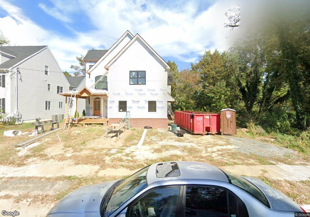
505 Dawson St Moorestown, NJ 08057
Estimated Value: $866,566 - $1,214,000
--
Bed
--
Bath
3,985
Sq Ft
$261/Sq Ft
Est. Value
About This Home
This home is located at 505 Dawson St, Moorestown, NJ 08057 and is currently estimated at $1,041,642, approximately $261 per square foot. 505 Dawson St is a home with nearby schools including George C. Baker Elementary School, Moorestown Upper Elementary School, and William Allen Middle School.
Ownership History
Date
Name
Owned For
Owner Type
Purchase Details
Closed on
Jun 15, 2012
Sold by
Edwards Mark W and Edwards Rebecca S
Bought by
Hinshillwood John P and Hinshillwood Tara
Current Estimated Value
Purchase Details
Closed on
Dec 16, 2009
Sold by
Porreca Rivell Enterprises Llc
Bought by
Edwards Mark W and Edwards Rebecca S
Home Financials for this Owner
Home Financials are based on the most recent Mortgage that was taken out on this home.
Original Mortgage
$290,500
Interest Rate
4.62%
Mortgage Type
New Conventional
Purchase Details
Closed on
Apr 13, 2006
Sold by
Haynes Dennis C
Bought by
Porecca Rivell Enterprises Llc
Purchase Details
Closed on
Oct 24, 2003
Sold by
Grimes Thomas P
Bought by
Haynes Dennis C
Create a Home Valuation Report for This Property
The Home Valuation Report is an in-depth analysis detailing your home's value as well as a comparison with similar homes in the area
Home Values in the Area
Average Home Value in this Area
Purchase History
| Date | Buyer | Sale Price | Title Company |
|---|---|---|---|
| Hinshillwood John P | $107,500 | Infinity Title Agency Inc | |
| Edwards Mark W | $185,000 | Fidelity Natl Title Ins Co | |
| Porecca Rivell Enterprises Llc | $85,000 | Congress Title Corp | |
| Haynes Dennis C | $85,000 | Collegiate Title Corp |
Source: Public Records
Mortgage History
| Date | Status | Borrower | Loan Amount |
|---|---|---|---|
| Previous Owner | Edwards Mark W | $290,500 |
Source: Public Records
Tax History Compared to Growth
Tax History
| Year | Tax Paid | Tax Assessment Tax Assessment Total Assessment is a certain percentage of the fair market value that is determined by local assessors to be the total taxable value of land and additions on the property. | Land | Improvement |
|---|---|---|---|---|
| 2025 | $12,920 | $455,400 | $100,700 | $354,700 |
| 2024 | $12,528 | $455,400 | $100,700 | $354,700 |
| 2023 | $12,528 | $455,400 | $100,700 | $354,700 |
| 2022 | $12,401 | $455,400 | $100,700 | $354,700 |
| 2021 | $12,231 | $455,400 | $100,700 | $354,700 |
| 2020 | $2,689 | $100,700 | $100,700 | $0 |
| 2019 | $2,641 | $100,700 | $100,700 | $0 |
| 2018 | $2,570 | $100,700 | $100,700 | $0 |
| 2017 | $2,592 | $100,700 | $100,700 | $0 |
| 2016 | $2,583 | $100,700 | $100,700 | $0 |
| 2015 | $2,552 | $100,700 | $100,700 | $0 |
| 2014 | $2,423 | $100,700 | $100,700 | $0 |
Source: Public Records
Map
Nearby Homes
- 493 N Church St
- 543 Bethel Ave
- 308 Farmdale Rd
- 316 W 3rd St
- 313 Fairview Ave
- 15 E 2nd St
- 316 Farmdale Rd
- 50 E 3rd St
- 66 E 3rd St
- 129 S Church St
- 82 E 3rd St
- 80 E 3rd St
- 4 W Close
- 423 Park Blvd
- 133 Plum St Unit 6
- 310 S Washington Ave
- 205 E Central Ave
- 531 Covington Terrace
- 11 E Sutton Ave
- 4 E Sutton Ave