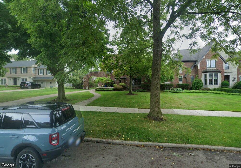
505 Pemberton Rd Grosse Pointe Park, MI 48230
Estimated Value: $685,000 - $757,000
Studio
4
Baths
3,196
Sq Ft
$224/Sq Ft
Est. Value
About This Home
This home is located at 505 Pemberton Rd, Grosse Pointe Park, MI 48230 and is currently estimated at $716,169, approximately $224 per square foot. 505 Pemberton Rd is a home located in Wayne County with nearby schools including Pierce Middle School, Grosse Pointe South High School, and Detroit Merit Charter Academy.
Ownership History
Date
Name
Owned For
Owner Type
Purchase Details
Closed on
Sep 10, 2020
Sold by
Wang Herman Hai-Peng and Wang Elizabeth B
Bought by
Wang Herman Hai-Peng and Wang Elizabeth B
Current Estimated Value
Purchase Details
Closed on
Nov 15, 2000
Sold by
Wang Elizabeth B
Bought by
Irby Ann E
Create a Home Valuation Report for This Property
The Home Valuation Report is an in-depth analysis detailing your home's value as well as a comparison with similar homes in the area
Home Values in the Area
Average Home Value in this Area
Purchase History
We collect this data history from publicly available records. To have your information removed, we recommend requesting removal directly through your county’s website.
| Date | Buyer | Sale Price | Title Company |
|---|---|---|---|
| Wang Herman Hai-Peng | -- | Land Title | |
| Irby Ann E | $468,000 | -- |
Source: Public Records
Tax History
| Year | Tax Paid | Tax Assessment Tax Assessment Total Assessment is a certain percentage of the fair market value that is determined by local assessors to be the total taxable value of land and additions on the property. | Land | Improvement |
|---|---|---|---|---|
| 2025 | $5,761 | $337,600 | $0 | $0 |
| 2024 | $5,761 | $322,700 | $0 | $0 |
| 2023 | $5,502 | $293,200 | $0 | $0 |
| 2022 | $5,227 | $264,500 | $0 | $0 |
| 2021 | $10,306 | $288,100 | $0 | $0 |
| 2019 | $10,606 | $259,900 | $0 | $0 |
| 2018 | $4,983 | $203,400 | $0 | $0 |
| 2017 | $11,081 | $155,200 | $0 | $0 |
| 2016 | $9,228 | $189,100 | $0 | $0 |
| 2015 | $16,495 | $180,500 | $0 | $0 |
| 2013 | $15,980 | $162,700 | $0 | $0 |
| 2012 | $4,422 | $170,100 | $55,700 | $114,400 |
Source: Public Records
Map
Nearby Homes
- 515 Barrington Rd
- 178 Ashland St
- 219 Ashland St
- 175 Ashland St
- 225 Ashland St
- 204 Philip St
- 652 Pemberton Rd
- 390 Ashland St
- 14356 Harbor Island
- 14344 Scripps St
- 432 Manistique St
- 764 Pemberton Rd
- 784 Barrington Rd
- 282 Newport St
- 388 Lakewood St
- 487 Philip St
- 580 Alter Rd
- 326 Eastlawn St
- 269 Eastlawn St
- 295 Eastlawn St
- 504 Barrington Rd
- 508 Barrington Rd
- 507 Pemberton Rd
- 503 Pemberton Rd
- 502 Barrington Rd
- 514 Barrington Rd
- 501 Pemberton Rd
- 500 Barrington Rd
- 513 Pemberton Rd
- 518 Barrington Rd
- 521 Pemberton Rd
- 524 Barrington Rd
- 498 Barrington Rd
- 530 Barrington Rd
- 513 Barrington Rd
- 511 Barrington Rd
- 504 Pemberton Rd
- 509 Barrington Rd
- 506 Pemberton Rd
- 529 Pemberton Rd
Your Personal Tour Guide
Ask me questions while you tour the home.