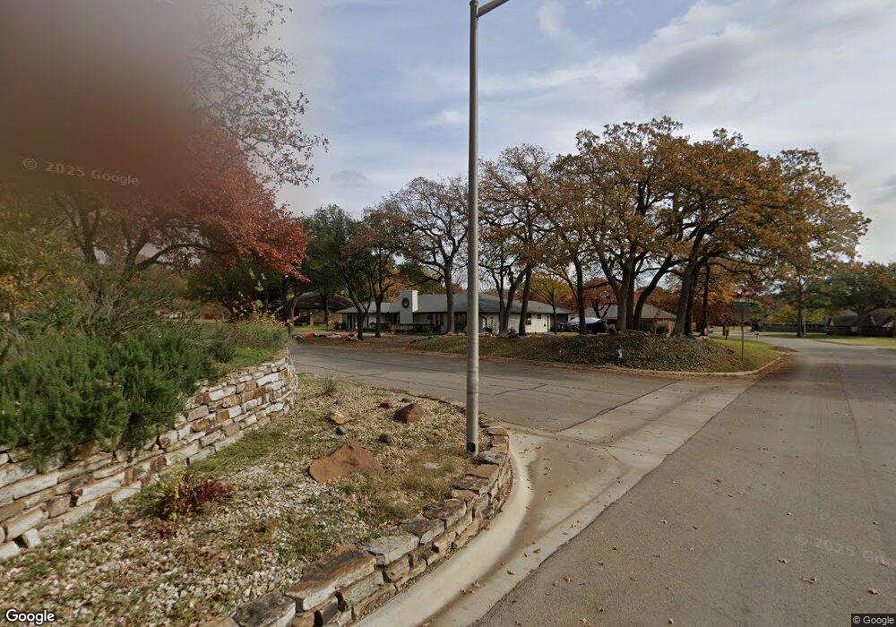
505 Pennsylvania Dr Denton, TX 76205
South Denton NeighborhoodEstimated Value: $498,335 - $581,000
4
Beds
4
Baths
2,876
Sq Ft
$189/Sq Ft
Est. Value
About This Home
This home is located at 505 Pennsylvania Dr, Denton, TX 76205 and is currently estimated at $543,334, approximately $188 per square foot. 505 Pennsylvania Dr is a home located in Denton County with nearby schools including Houston Elementary School, McMath Middle School, and Denton High School.
Ownership History
Date
Name
Owned For
Owner Type
Purchase Details
Closed on
Apr 6, 2020
Sold by
Hutmacher Katherine M and Hutmacher Katherine M
Bought by
Cooner Timothy M and Conner Dawn M
Current Estimated Value
Home Financials for this Owner
Home Financials are based on the most recent Mortgage that was taken out on this home.
Original Mortgage
$368,725
Outstanding Balance
$326,646
Interest Rate
3.4%
Mortgage Type
VA
Estimated Equity
$216,688
Purchase Details
Closed on
May 17, 2017
Sold by
Hutmacher Katherine M
Bought by
Hutmacher Living Trust
Purchase Details
Closed on
Jan 2, 2013
Sold by
Thompson David and Thompson Gina
Bought by
Hutmacher Gordon and Hutmacher Katherine
Purchase Details
Closed on
Sep 7, 2010
Sold by
Marchand Robert R and Marchand Patricia R
Bought by
Marchand Patricia Boex and Marchand Living Trust
Create a Home Valuation Report for This Property
The Home Valuation Report is an in-depth analysis detailing your home's value as well as a comparison with similar homes in the area
Home Values in the Area
Average Home Value in this Area
Purchase History
| Date | Buyer | Sale Price | Title Company |
|---|---|---|---|
| Cooner Timothy M | -- | None Available | |
| Hutmacher Living Trust | -- | None Available | |
| Hutmacher Gordon | -- | None Available | |
| Marchand Patricia Boex | -- | None Available |
Source: Public Records
Mortgage History
| Date | Status | Borrower | Loan Amount |
|---|---|---|---|
| Open | Cooner Timothy M | $368,725 |
Source: Public Records
Tax History Compared to Growth
Tax History
| Year | Tax Paid | Tax Assessment Tax Assessment Total Assessment is a certain percentage of the fair market value that is determined by local assessors to be the total taxable value of land and additions on the property. | Land | Improvement |
|---|---|---|---|---|
| 2025 | $7,259 | $465,819 | $120,985 | $344,834 |
| 2024 | $8,647 | $448,000 | $120,985 | $327,015 |
| 2023 | $6,753 | $426,346 | $120,985 | $335,551 |
| 2022 | $8,228 | $387,587 | $106,751 | $325,260 |
| 2021 | $7,833 | $352,352 | $71,168 | $281,184 |
| 2020 | $7,557 | $330,603 | $71,168 | $259,435 |
| 2019 | $7,856 | $329,256 | $71,168 | $258,088 |
| 2018 | $7,601 | $314,638 | $71,168 | $243,470 |
| 2017 | $7,184 | $290,657 | $71,168 | $219,489 |
| 2016 | $6,541 | $264,641 | $71,168 | $193,473 |
| 2015 | $4,297 | $243,013 | $71,168 | $171,845 |
Source: Public Records
Map
Nearby Homes
- 924 Ridgecrest Cir
- 1000 Lynhurst Ln
- 2012 Hollyhill Ln
- 2218 Southridge Dr
- 916 Smokerise Cir
- 2253 Hollyhill Ln
- 2226 Savannah Trail
- 829 Skylark Dr
- 1012 Indian Ridge Dr
- 2216 Jefferson Trail
- 2272 Hollyhill Ln
- 209 Pennsylvania Dr
- 821 Sandpiper Dr
- 720 Smokerise Cir
- 824 Sandpiper Dr
- 2120 Fairfax Rd
- 816 Chapel Dr
- 1108 Ellison Park Cir
- 1412 Ridgecrest Cir
- 2100 Fairfax Rd
- 2205 Hollyhill Ln
- 501 Pennsylvania Dr
- 601 Pennsylvania Dr
- 2204 Stonegate Dr
- 2121 Hollyhill Ln
- 600 Tennyson Trail
- 2209 Hollyhill Ln
- 2118 Stonegate Dr
- 600 Pennsylvania Dr
- 2208 Stonegate Dr
- 605 Pennsylvania Dr
- 604 Tennyson Trail
- 2201 Stonegate Dr
- 601 Tennyson Trail
- 2213 Hollyhill Ln
- 2115 Hollyhill Ln
- 2205 Stonegate Dr
- 2116 Hollyhill Ln
- 2225 Woodbrook St
- 2119 Stonegate Dr