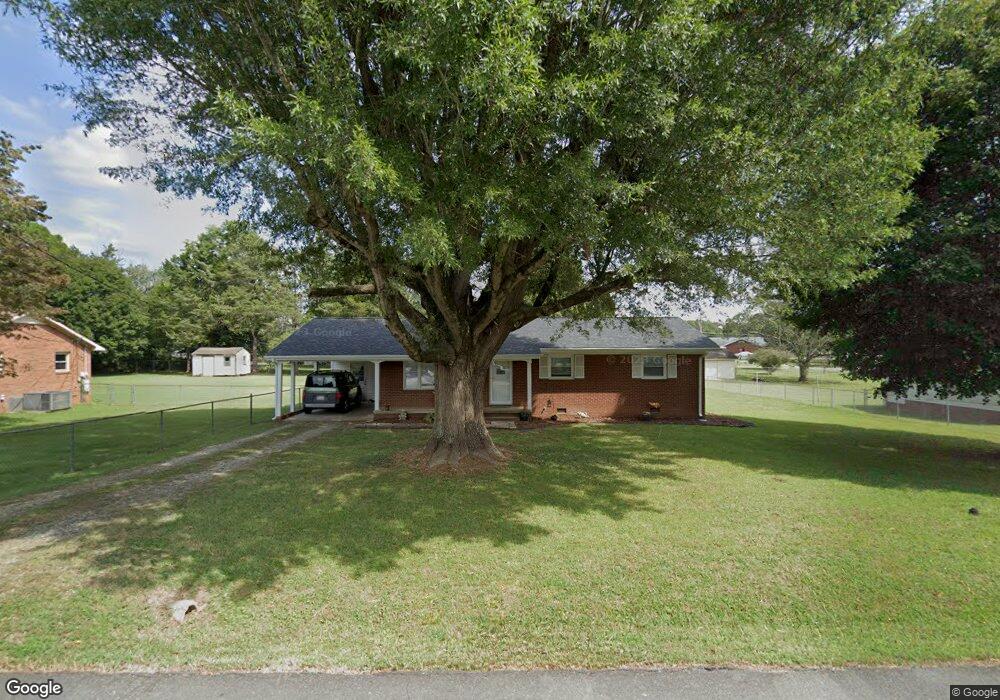
505 Rolling Rd Haw River, NC 27258
Estimated Value: $192,850 - $239,000
3
Beds
1
Bath
1,196
Sq Ft
$173/Sq Ft
Est. Value
About This Home
This home is located at 505 Rolling Rd, Haw River, NC 27258 and is currently estimated at $207,213, approximately $173 per square foot. 505 Rolling Rd is a home located in Alamance County with nearby schools including Haw River Elementary School, Woodlawn Middle School, and Eastern Alamance High School.
Ownership History
Date
Name
Owned For
Owner Type
Purchase Details
Closed on
Nov 29, 2022
Sold by
Pierce Kerry L
Bought by
Davis Gleenda
Current Estimated Value
Home Financials for this Owner
Home Financials are based on the most recent Mortgage that was taken out on this home.
Original Mortgage
$116,150
Outstanding Balance
$111,655
Interest Rate
5.53%
Mortgage Type
New Conventional
Estimated Equity
$95,558
Purchase Details
Closed on
Aug 23, 2011
Sold by
Pierce Lloyd C
Bought by
Pierce Kerry L
Home Financials for this Owner
Home Financials are based on the most recent Mortgage that was taken out on this home.
Original Mortgage
$49,500
Interest Rate
4.54%
Mortgage Type
FHA
Purchase Details
Closed on
Mar 19, 1998
Bought by
Pierce Kerry L
Create a Home Valuation Report for This Property
The Home Valuation Report is an in-depth analysis detailing your home's value as well as a comparison with similar homes in the area
Home Values in the Area
Average Home Value in this Area
Purchase History
| Date | Buyer | Sale Price | Title Company |
|---|---|---|---|
| Davis Gleenda | $233 | -- | |
| Pierce Kerry L | $83,000 | -- | |
| Pierce Kerry L | -- | -- |
Source: Public Records
Mortgage History
| Date | Status | Borrower | Loan Amount |
|---|---|---|---|
| Open | Davis Gleenda | $116,150 | |
| Previous Owner | Pierce Kerry L | $49,500 |
Source: Public Records
Tax History
| Year | Tax Paid | Tax Assessment Tax Assessment Total Assessment is a certain percentage of the fair market value that is determined by local assessors to be the total taxable value of land and additions on the property. | Land | Improvement |
|---|---|---|---|---|
| 2025 | $1,500 | $160,593 | $29,414 | $131,179 |
| 2024 | $1,460 | $160,593 | $29,414 | $131,179 |
| 2023 | $1,393 | $160,593 | $29,414 | $131,179 |
| 2022 | $1,182 | $92,819 | $21,930 | $70,889 |
| 2021 | $1,191 | $92,819 | $21,930 | $70,889 |
| 2020 | $1,201 | $92,819 | $21,930 | $70,889 |
| 2019 | $1,067 | $92,819 | $21,930 | $70,889 |
| 2018 | $0 | $92,819 | $21,930 | $70,889 |
| 2017 | $984 | $92,819 | $21,930 | $70,889 |
| 2016 | $1,049 | $98,973 | $25,585 | $73,388 |
| 2015 | $1,044 | $98,973 | $25,585 | $73,388 |
| 2014 | $995 | $98,973 | $25,585 | $73,388 |
Source: Public Records
Map
Nearby Homes
- 403 Rolling Rd
- 635 Keck Rd
- 148 N State St
- 8 Lea Ln
- 128 N State St
- Vl Highway 70 E
- 103 1st St
- 139 Pelham St
- 523 E Main St
- 0 State Highway 49
- 2234D Basil Holt Rd
- 103 Taylor St
- 489 Fran Dr
- 734 Coley Ct
- 2319 James Boswell Rd
- 497 Fran Dr
- 478 Fran Dr
- 476 Fran Dr
- 2070 Haw River Hopedale Rd
- 2813 Otter Creek Trail
- 503 Rolling Rd
- 511 Rolling Rd
- 506 Roxboro St
- 510 Roxboro St
- 502 Roxboro St
- 502 Roxboro Rd
- 506 Rolling Rd
- 514 Roxboro St
- 514 Roxboro Rd
- 1003 Coldspring Rd
- 413 Rolling Rd
- 502 Rolling Rd
- 414 Rolling Rd
- 512 Rolling Rd
- 426 Roxboro St
- 603 Rolling Rd
- 411 Rolling Rd
- 412 Rolling Rd
- 422 Roxboro St
- 410 Rolling Rd
Your Personal Tour Guide
Ask me questions while you tour the home.