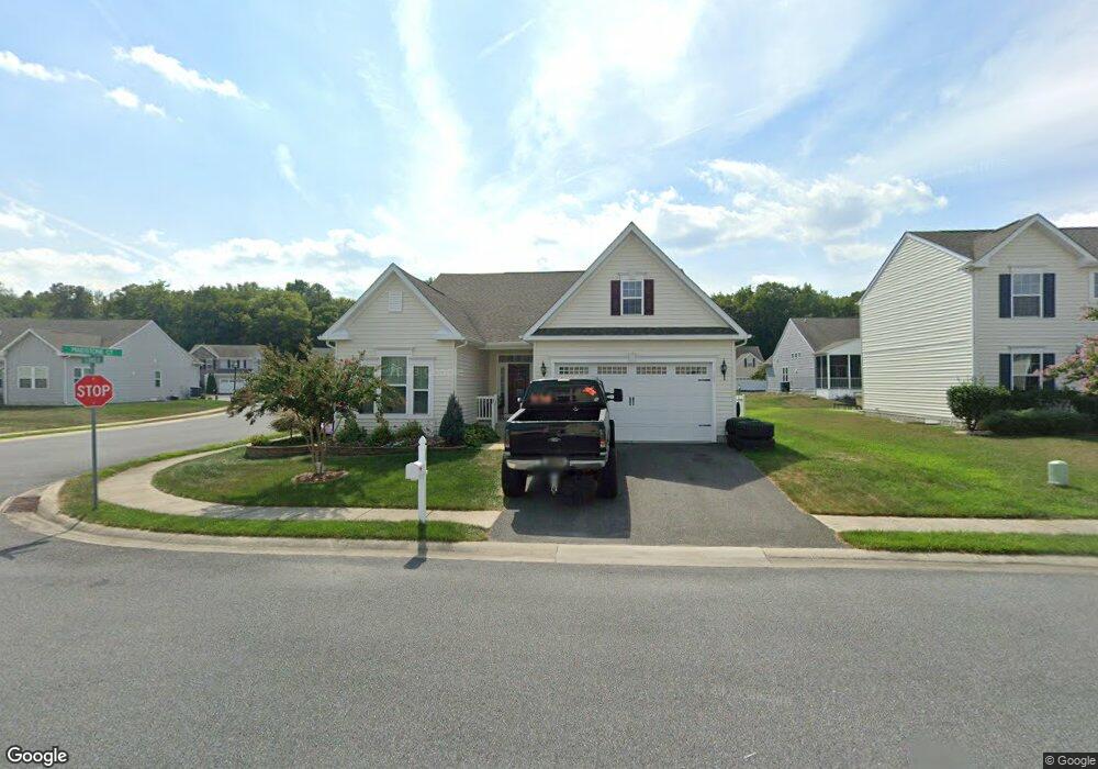
505 S Alnwick Ln Millsboro, DE 19966
Estimated Value: $392,000 - $481,000
3
Beds
2
Baths
1,858
Sq Ft
$236/Sq Ft
Est. Value
About This Home
This home is located at 505 S Alnwick Ln, Millsboro, DE 19966 and is currently estimated at $438,490, approximately $236 per square foot. 505 S Alnwick Ln is a home located in Sussex County with nearby schools including East Millsboro Elementary School, Millsboro Middle School, and Sussex Central High School.
Ownership History
Date
Name
Owned For
Owner Type
Purchase Details
Closed on
Oct 26, 2016
Sold by
Nvr Inc
Bought by
Brunetto Joseph W and Brunetto Robyn K
Current Estimated Value
Purchase Details
Closed on
Oct 20, 2016
Sold by
Nvr Inc
Bought by
Brunetto Joseph W and Brunetto Robyn K
Purchase Details
Closed on
Jul 15, 2016
Sold by
Radish Farms Llc
Bought by
Nvr Inc
Create a Home Valuation Report for This Property
The Home Valuation Report is an in-depth analysis detailing your home's value as well as a comparison with similar homes in the area
Home Values in the Area
Average Home Value in this Area
Purchase History
| Date | Buyer | Sale Price | Title Company |
|---|---|---|---|
| Brunetto Joseph W | $284,333 | None Available | |
| Brunetto Joseph W | $284,333 | None Available | |
| Nvr Inc | -- | None Available |
Source: Public Records
Tax History Compared to Growth
Tax History
| Year | Tax Paid | Tax Assessment Tax Assessment Total Assessment is a certain percentage of the fair market value that is determined by local assessors to be the total taxable value of land and additions on the property. | Land | Improvement |
|---|---|---|---|---|
| 2025 | $995 | $1,500 | $1,500 | $0 |
| 2024 | $1,108 | $1,500 | $1,500 | $0 |
| 2023 | $1,107 | $1,500 | $1,500 | $0 |
| 2022 | $1,101 | $1,500 | $1,500 | $0 |
| 2021 | $1,069 | $1,500 | $1,500 | $0 |
| 2020 | $1,006 | $1,500 | $1,500 | $0 |
| 2019 | $1,001 | $1,500 | $1,500 | $0 |
| 2018 | $1,011 | $26,100 | $0 | $0 |
| 2017 | $57 | $1,500 | $0 | $0 |
| 2016 | $50 | $1,500 | $0 | $0 |
| 2015 | $52 | $1,500 | $0 | $0 |
| 2014 | $51 | $1,500 | $0 | $0 |
Source: Public Records
Map
Nearby Homes
- 402 Tunbridge Ct
- 429 Tunbridge Ct
- 612 Maidstone Ct
- 428 Tunbridge Ct
- 316 Amberly Ct
- 30043 Plantation Dr
- 27932 Home Farm Dr
- 29880 Plantation Dr Unit A22
- 25104 Aspen Cir
- 28103 Kingsbury
- 0 Cedar St
- 28107 Kingsbury Ln
- 27003 Greenleaf Dr
- 28192 Kingsbury Ln
- 29745 Highbridge Way
- 24802 Wye Mill Ln
- 24804 Wye Mill Ln
- 24818 Wye Mill Ln
- 29861 Bankert Dr
- 29855 Bankert Dr
- 503 S Alnwick Ln
- 406 Tunbridge Ct
- 408 Tunbridge Ct
- 501 N Alnwick Ln
- 600 Maidstone Ct
- 601 Maidstone Ct
- 404 Tunbridge Ct
- 410 Tunbridge Ct
- 603 Maidstone Ct
- 605 Maidstone Ct
- 412 Tunbridge Ct
- 301 Amberly Ct
- 602 Maidstone Ct
- 419 Tunbridge Ct
- 417 Tunbridge Ct
- 415 Tunbridge Ct
- 413 Tunbridge Ct
- 421 Tunbridge Ct
- 607 Maidstone Ct
- 414 Tunbridge Ct