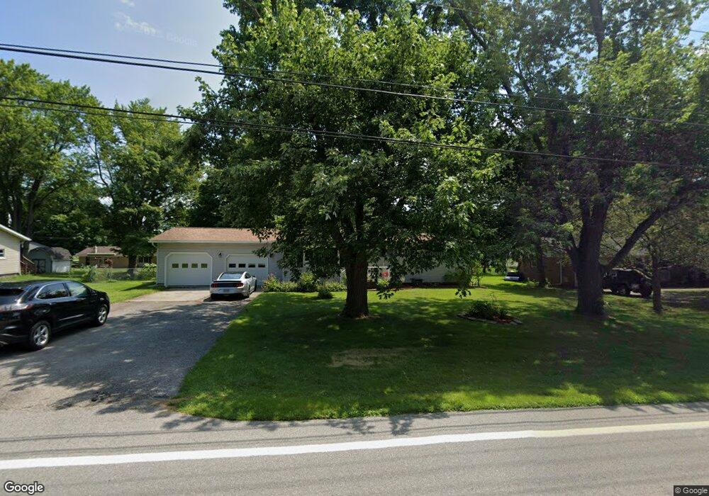
505 S Main St West Unity, OH 43570
Estimated Value: $140,000 - $188,000
3
Beds
1
Bath
3,150
Sq Ft
$52/Sq Ft
Est. Value
About This Home
This home is located at 505 S Main St, West Unity, OH 43570 and is currently estimated at $164,926, approximately $52 per square foot. 505 S Main St is a home located in Williams County with nearby schools including Hilltop Elementary School and Hilltop High School.
Ownership History
Date
Name
Owned For
Owner Type
Purchase Details
Closed on
Feb 5, 2015
Sold by
Bowers Joe L and Bowers Mary
Bought by
Crooks David and Crooks Melissa
Current Estimated Value
Home Financials for this Owner
Home Financials are based on the most recent Mortgage that was taken out on this home.
Original Mortgage
$96,938
Outstanding Balance
$73,325
Interest Rate
3.82%
Mortgage Type
New Conventional
Estimated Equity
$91,601
Purchase Details
Closed on
Jan 1, 1990
Bought by
Bowers Joe L
Create a Home Valuation Report for This Property
The Home Valuation Report is an in-depth analysis detailing your home's value as well as a comparison with similar homes in the area
Purchase History
| Date | Buyer | Sale Price | Title Company |
|---|---|---|---|
| Crooks David | $95,000 | None Available | |
| Bowers Joe L | -- | -- |
Source: Public Records
Mortgage History
| Date | Status | Borrower | Loan Amount |
|---|---|---|---|
| Open | Crooks David | $96,938 |
Source: Public Records
Tax History
| Year | Tax Paid | Tax Assessment Tax Assessment Total Assessment is a certain percentage of the fair market value that is determined by local assessors to be the total taxable value of land and additions on the property. | Land | Improvement |
|---|---|---|---|---|
| 2025 | $1,748 | $44,420 | $6,130 | $38,290 |
| 2024 | $1,748 | $44,420 | $6,130 | $38,290 |
| 2023 | $1,779 | $36,510 | $6,130 | $30,380 |
| 2022 | $1,738 | $36,510 | $6,130 | $30,380 |
| 2021 | $1,738 | $36,510 | $6,130 | $30,380 |
| 2020 | $1,569 | $31,750 | $5,320 | $26,430 |
| 2019 | $1,541 | $31,750 | $5,320 | $26,430 |
| 2018 | $1,364 | $31,750 | $5,320 | $26,430 |
| 2017 | $1,228 | $25,060 | $5,040 | $20,020 |
| 2016 | $1,171 | $25,060 | $5,040 | $20,020 |
| 2015 | $1,337 | $25,060 | $5,040 | $20,020 |
| 2014 | $1,337 | $26,390 | $5,320 | $21,070 |
| 2013 | $1,318 | $26,390 | $5,320 | $21,070 |
Source: Public Records
Map
Nearby Homes
- 309 S Defiance St
- 000 W Jackson
- 1070 E Meadow Cir
- 106 W Catherine St
- 902 E Church St
- 22227 Us Highway 20a
- 20095 County Road H50
- 16806 US Highway 20a
- 301 Horton St
- 3514 Gaslight Dr
- 200 Tyler Ln
- 14640 U S 20a
- 16299 County Road F75
- 7100 County Road 15-50
- 0 St Rt 15 Unit 10001011
- 17738 County Rd E
- 8579 County Road 23
- 552 Quail Run
- 222 Lakeview Dr
- 404 Oakwood Ct
Your Personal Tour Guide
Ask me questions while you tour the home.