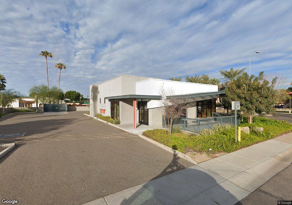
505 W University Dr Unit D206 Tempe, AZ 85281
Mitchell Park East NeighborhoodEstimated Value: $218,344 - $241,000
--
Bed
1
Bath
840
Sq Ft
$276/Sq Ft
Est. Value
About This Home
This home is located at 505 W University Dr Unit D206, Tempe, AZ 85281 and is currently estimated at $231,586, approximately $275 per square foot. 505 W University Dr Unit D206 is a home located in Maricopa County with nearby schools including Geneva Epps Mosley Middle School, Tempe High School, and New School for the Arts & Academics.
Ownership History
Date
Name
Owned For
Owner Type
Purchase Details
Closed on
May 25, 2005
Sold by
Merkle Carl L and Merkle Vera L
Bought by
Hummell James and Hummell Debra
Current Estimated Value
Home Financials for this Owner
Home Financials are based on the most recent Mortgage that was taken out on this home.
Original Mortgage
$58,500
Outstanding Balance
$30,462
Interest Rate
5.72%
Mortgage Type
Seller Take Back
Estimated Equity
$201,124
Purchase Details
Closed on
Nov 7, 2002
Sold by
Merkle Carl L and Merkle Vera L
Bought by
Merkle Carl L and Merkle Vera L
Create a Home Valuation Report for This Property
The Home Valuation Report is an in-depth analysis detailing your home's value as well as a comparison with similar homes in the area
Home Values in the Area
Average Home Value in this Area
Purchase History
| Date | Buyer | Sale Price | Title Company |
|---|---|---|---|
| Hummell James | $65,000 | First American Title Ins Co | |
| Merkle Carl L | -- | -- |
Source: Public Records
Mortgage History
| Date | Status | Borrower | Loan Amount |
|---|---|---|---|
| Open | Hummell James | $58,500 |
Source: Public Records
Tax History Compared to Growth
Tax History
| Year | Tax Paid | Tax Assessment Tax Assessment Total Assessment is a certain percentage of the fair market value that is determined by local assessors to be the total taxable value of land and additions on the property. | Land | Improvement |
|---|---|---|---|---|
| 2025 | $1,003 | $8,372 | -- | -- |
| 2024 | $927 | $7,973 | -- | -- |
| 2023 | $927 | $15,810 | $3,160 | $12,650 |
| 2022 | $889 | $12,850 | $2,570 | $10,280 |
| 2021 | $895 | $11,500 | $2,300 | $9,200 |
| 2020 | $868 | $9,730 | $1,940 | $7,790 |
| 2019 | $851 | $7,910 | $1,580 | $6,330 |
| 2018 | $830 | $8,330 | $1,660 | $6,670 |
| 2017 | $806 | $7,850 | $1,570 | $6,280 |
| 2016 | $800 | $7,850 | $1,570 | $6,280 |
| 2015 | $768 | $7,080 | $1,410 | $5,670 |
Source: Public Records
Map
Nearby Homes
- 626 S Wilson St
- 606 S Wilson St
- 505 W 6th St
- 421 W 6th St Unit 1003
- 700 W University Dr Unit 122
- 700 W University Dr Unit 253
- 548 S Wilson St Unit 104
- 942 S Ash Ave Unit 103
- 117 W 10th St
- 1101 S Farmer Ave
- 522 W Howe St
- 620 W Howe St
- 512 W Brown St
- 516 W Brown St
- 1218 S Farmer Ave
- 154 W 5th St Unit 246
- 1190 S Maple Ave Unit 1
- 1234 S Farmer Ave
- 21 E 6th St Unit 316
- 21 E 6th St Unit 412
- 505 W University Dr Unit A103
- 505 W University Dr
- 505 W University Dr Unit A104
- 505 W University Dr Unit A101
- 505 W University Dr
- 505 W University Dr Unit A206
- 505 W University Dr Unit A205
- 505 W University Dr Unit A101
- 505 W University Dr
- 505 W University Dr Unit D204
- 505 W University Dr Unit D219
- 505 W University Dr
- 505 W University Dr Unit D201
- 505 W University Dr Unit C206
- 505 W University Dr
- 505 W University Dr Unit C203
- 505 W University Dr
- 505 W University Dr
- 505 W University Dr Unit B206
- 505 W University Dr Unit B204