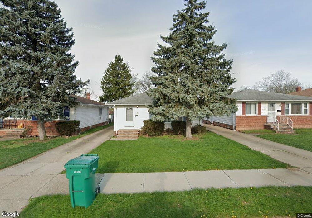
5054 Arch St Maple Heights, OH 44137
Estimated Value: $122,208 - $161,000
3
Beds
2
Baths
1,176
Sq Ft
$120/Sq Ft
Est. Value
About This Home
This home is located at 5054 Arch St, Maple Heights, OH 44137 and is currently estimated at $141,302, approximately $120 per square foot. 5054 Arch St is a home located in Cuyahoga County with nearby schools including Abraham Lincoln Elementary School, Rockside/ J.F. Kennedy School, and Barack Obama School.
Ownership History
Date
Name
Owned For
Owner Type
Purchase Details
Closed on
Apr 2, 2010
Sold by
Hovan John J
Bought by
Mumford Peggy D
Current Estimated Value
Home Financials for this Owner
Home Financials are based on the most recent Mortgage that was taken out on this home.
Original Mortgage
$71,677
Outstanding Balance
$48,327
Interest Rate
5.25%
Mortgage Type
FHA
Estimated Equity
$92,975
Purchase Details
Closed on
Jul 16, 1985
Sold by
Hovan Margt
Bought by
Hovan Margaret
Purchase Details
Closed on
Jan 1, 1975
Bought by
Hovan Margt
Create a Home Valuation Report for This Property
The Home Valuation Report is an in-depth analysis detailing your home's value as well as a comparison with similar homes in the area
Home Values in the Area
Average Home Value in this Area
Purchase History
| Date | Buyer | Sale Price | Title Company |
|---|---|---|---|
| Mumford Peggy D | $73,000 | Ohio Real Title | |
| Hovan Margaret | -- | -- | |
| Hovan Margt | -- | -- |
Source: Public Records
Mortgage History
| Date | Status | Borrower | Loan Amount |
|---|---|---|---|
| Open | Mumford Peggy D | $71,677 |
Source: Public Records
Tax History Compared to Growth
Tax History
| Year | Tax Paid | Tax Assessment Tax Assessment Total Assessment is a certain percentage of the fair market value that is determined by local assessors to be the total taxable value of land and additions on the property. | Land | Improvement |
|---|---|---|---|---|
| 2024 | $3,812 | $43,155 | $7,315 | $35,840 |
| 2023 | $2,415 | $22,690 | $4,450 | $18,240 |
| 2022 | $2,406 | $22,680 | $4,450 | $18,240 |
| 2021 | $2,566 | $22,680 | $4,450 | $18,240 |
| 2020 | $2,191 | $17,190 | $3,360 | $13,830 |
| 2019 | $2,179 | $49,100 | $9,600 | $39,500 |
| 2018 | $2,049 | $17,190 | $3,360 | $13,830 |
| 2017 | $2,085 | $16,040 | $3,120 | $12,920 |
| 2016 | $2,017 | $16,040 | $3,120 | $12,920 |
| 2015 | $2,017 | $16,040 | $3,120 | $12,920 |
| 2014 | $2,017 | $17,610 | $3,430 | $14,180 |
Source: Public Records
Map
Nearby Homes
- 5031 Cato St
- 5061 Philip Ave
- 5082 Philip Ave
- 5199 Arch St
- 5110 Philip Ave
- 5239 Arch St
- 5234 Erwin St
- 5231 Philip Ave
- 5185 Clement Ave
- 5257 Philip Ave
- 5208 Clement Ave
- 5212 Catherine St
- 19309 Nitra Ave
- 5265 Bellview St
- 5165 Camden Rd
- 16712 Kollin Ave
- 17916 North Blvd
- 17912 North Blvd
- 5320 Clement Ave
- 5357 Beechwood Ave