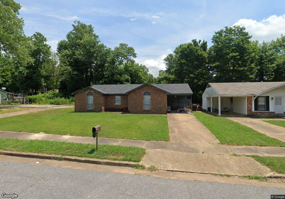
5054 Belfast Dr Memphis, TN 38127
Estimated Value: $78,000 - $105,000
3
Beds
1
Bath
1,036
Sq Ft
$87/Sq Ft
Est. Value
About This Home
This home is located at 5054 Belfast Dr, Memphis, TN 38127 and is currently estimated at $90,117, approximately $86 per square foot. 5054 Belfast Dr is a home located in Shelby County with nearby schools including Northaven Elementary School, Woodstock Middle School, and Trezevant High School.
Ownership History
Date
Name
Owned For
Owner Type
Purchase Details
Closed on
May 29, 2020
Sold by
Romero Frankie A
Bought by
Bassett Cleveland
Current Estimated Value
Home Financials for this Owner
Home Financials are based on the most recent Mortgage that was taken out on this home.
Original Mortgage
$28,000
Outstanding Balance
$24,757
Interest Rate
3.3%
Mortgage Type
Construction
Estimated Equity
$65,360
Purchase Details
Closed on
Feb 25, 2014
Sold by
Dohnken Monica Romero
Bought by
Romero Frankie A
Purchase Details
Closed on
May 30, 1997
Sold by
Romero Frankie A and Romero Jannie F
Bought by
Romero Monica L
Home Financials for this Owner
Home Financials are based on the most recent Mortgage that was taken out on this home.
Original Mortgage
$24,000
Interest Rate
7.92%
Mortgage Type
Seller Take Back
Create a Home Valuation Report for This Property
The Home Valuation Report is an in-depth analysis detailing your home's value as well as a comparison with similar homes in the area
Home Values in the Area
Average Home Value in this Area
Purchase History
| Date | Buyer | Sale Price | Title Company |
|---|---|---|---|
| Bassett Cleveland | $20,000 | None Available | |
| Romero Frankie A | -- | None Available | |
| Romero Monica L | $24,000 | -- | |
| Romero Monica L | $24,000 | -- |
Source: Public Records
Mortgage History
| Date | Status | Borrower | Loan Amount |
|---|---|---|---|
| Open | Bassett Cleveland | $28,000 | |
| Previous Owner | Romero Monica L | $24,000 |
Source: Public Records
Tax History Compared to Growth
Tax History
| Year | Tax Paid | Tax Assessment Tax Assessment Total Assessment is a certain percentage of the fair market value that is determined by local assessors to be the total taxable value of land and additions on the property. | Land | Improvement |
|---|---|---|---|---|
| 2025 | $386 | $19,400 | $2,000 | $17,400 |
| 2024 | $386 | $11,375 | $1,475 | $9,900 |
| 2023 | $386 | $11,375 | $1,475 | $9,900 |
| 2022 | $386 | $11,375 | $1,475 | $9,900 |
| 2021 | $392 | $11,375 | $1,475 | $9,900 |
| 2020 | $313 | $7,725 | $1,475 | $6,250 |
| 2019 | $313 | $7,725 | $1,475 | $6,250 |
| 2018 | $313 | $7,725 | $1,475 | $6,250 |
| 2017 | $318 | $7,725 | $1,475 | $6,250 |
| 2016 | $379 | $8,675 | $0 | $0 |
| 2014 | $379 | $8,675 | $0 | $0 |
Source: Public Records
Map
Nearby Homes
- 901 Chesterton Dr
- 5090 Belfast Dr
- 5096 Belfast Dr
- 936 Chesterton Dr
- 5088 Breckenwood Dr
- 850 Carol Ann Cove
- 5072 Blacksmith Dr
- 5046 Breckenwood Dr
- 810 Northaven Dr
- 5030 Breckenwood Dr
- 980 N Circle Rd
- 5140 Blacksmith Dr
- 881 Northaven Dr
- 706 Northaven Dr
- 759 Brandywine Blvd
- 823 Bitter Creek Cove
- 645 Mcwhirter Ave
- 5315 Braden Dr
- 5338 Cedar Bluff Dr
- 635 Mcwhirter Ave
- 5060 Belfast Dr
- 5048 Belfast Dr
- 5066 Belfast Dr
- 5042 Belfast Dr
- 5059 Carterville Place
- 5053 Carterville Place
- 5065 Carterville Place
- 5047 Carterville Place
- 5055 Belfast Dr
- 5072 Belfast Dr
- 5061 Belfast Dr
- 5049 Belfast Dr
- 5038 Belfast Dr
- 5071 Carterville Place
- 5043 Belfast Dr
- 5078 Belfast Dr
- 5071 Belfast Dr
- 5032 Belfast Dr
- 5077 Carterville Place
- 5039 Belfast Dr