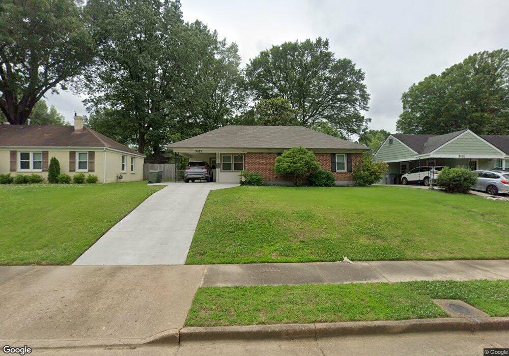
5057 New Castle Rd Memphis, TN 38117
Colonial Acres NeighborhoodEstimated Value: $168,000 - $175,000
3
Beds
1
Bath
960
Sq Ft
$179/Sq Ft
Est. Value
About This Home
This home is located at 5057 New Castle Rd, Memphis, TN 38117 and is currently estimated at $171,965, approximately $179 per square foot. 5057 New Castle Rd is a home located in Shelby County with nearby schools including Sea Isle Elementary School, Colonial Middle, and Overton High.
Ownership History
Date
Name
Owned For
Owner Type
Purchase Details
Closed on
Oct 20, 2022
Sold by
Abbott H Douglas H and Abbott Suzanne G
Bought by
Harold Douglas And Suzanne Gibbons Abbott Tru
Current Estimated Value
Purchase Details
Closed on
Jun 16, 2005
Sold by
Large Jerry F and Large Mary Ruth
Bought by
Abbott H Douglas and Abbott Suzanne G
Purchase Details
Closed on
Jul 16, 2001
Sold by
Hamm Carman Wayne and Hamm Ann T
Bought by
Large Jerry F and Large Mary Ruth
Create a Home Valuation Report for This Property
The Home Valuation Report is an in-depth analysis detailing your home's value as well as a comparison with similar homes in the area
Home Values in the Area
Average Home Value in this Area
Purchase History
| Date | Buyer | Sale Price | Title Company |
|---|---|---|---|
| Harold Douglas And Suzanne Gibbons Abbott Tru | -- | -- | |
| Abbott H Douglas | $93,575 | Realty Title & Escrow Co Inc | |
| Large Jerry F | $78,000 | -- |
Source: Public Records
Tax History Compared to Growth
Tax History
| Year | Tax Paid | Tax Assessment Tax Assessment Total Assessment is a certain percentage of the fair market value that is determined by local assessors to be the total taxable value of land and additions on the property. | Land | Improvement |
|---|---|---|---|---|
| 2025 | $1,086 | $39,400 | $11,250 | $28,150 |
| 2024 | $1,086 | $32,025 | $7,050 | $24,975 |
| 2023 | $1,951 | $32,025 | $7,050 | $24,975 |
| 2022 | $1,951 | $32,025 | $7,050 | $24,975 |
| 2021 | $1,974 | $32,025 | $7,050 | $24,975 |
| 2020 | $1,629 | $23,375 | $7,050 | $16,325 |
| 2019 | $1,694 | $23,375 | $7,050 | $16,325 |
| 2018 | $1,694 | $23,375 | $7,050 | $16,325 |
| 2017 | $961 | $23,375 | $7,050 | $16,325 |
| 2016 | $962 | $22,025 | $0 | $0 |
| 2014 | $962 | $22,025 | $0 | $0 |
Source: Public Records
Map
Nearby Homes
- 5050 New Castle Rd
- 5076 Dee Rd
- 5032 Edenshire Ave
- 5067 Wingdale Rd
- 5055 Wingdale Rd
- 1065 S White Station Rd
- 1022 S White Station Rd
- 5196 Edenshire Ave
- 1232 S White Station Rd
- 995 S White Station Rd
- 5010 Kaye Rd
- 4944 Mockingbird Ln
- 4936 Kaye Rd
- 4888 Dee Rd
- 1089 Ivy Rd
- 4908 Mockingbird Ln
- 1292 S White Station Rd
- 4921 Alrose Ave
- 1130 Wheaton St
- 5255 Seneca Ave
- 5057 Newcastle Rd
- 5063 New Castle Rd
- 5051 New Castle Rd
- 5063 Newcastle Rd
- 5056 Dee Rd
- 5071 New Castle Rd
- 5045 New Castle Rd
- 5050 Dee Rd
- 5062 Dee Rd
- 5056 New Castle Rd
- 5062 Newcastle Rd
- 5070 Dee Rd
- 5062 New Castle Rd
- 5044 Dee Rd
- 5037 Newcastle Rd
- 5077 New Castle Rd
- 5077 Newcastle Rd
- 5037 New Castle Rd
- 5070 Newcastle Rd
- 5070 New Castle Rd