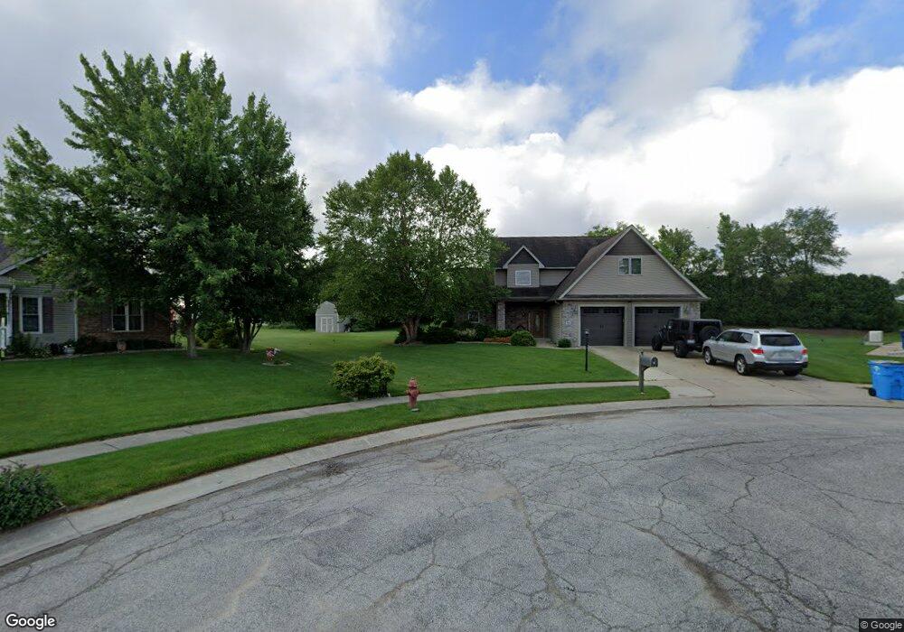
506 Grassfork Ct S Wanatah, IN 46390
Estimated Value: $410,959 - $525,000
4
Beds
3
Baths
3,526
Sq Ft
$132/Sq Ft
Est. Value
About This Home
This home is located at 506 Grassfork Ct S, Wanatah, IN 46390 and is currently estimated at $466,653, approximately $132 per square foot. 506 Grassfork Ct S is a home located in LaPorte County with nearby schools including South Central Elementary School and South Central Junior/Senior High School.
Ownership History
Date
Name
Owned For
Owner Type
Purchase Details
Closed on
Oct 26, 2011
Sold by
Upton Robert G and Upton Sheryl A
Bought by
Garcia Daniel Dean and Garcia Karen Rachele
Current Estimated Value
Home Financials for this Owner
Home Financials are based on the most recent Mortgage that was taken out on this home.
Original Mortgage
$210,429
Outstanding Balance
$143,145
Interest Rate
3.97%
Mortgage Type
VA
Estimated Equity
$323,508
Purchase Details
Closed on
Nov 5, 2006
Sold by
Ousley Cathleen S
Bought by
Upton Robert G and Upton Sheryl A
Home Financials for this Owner
Home Financials are based on the most recent Mortgage that was taken out on this home.
Original Mortgage
$165,000
Interest Rate
6.47%
Mortgage Type
Unknown
Create a Home Valuation Report for This Property
The Home Valuation Report is an in-depth analysis detailing your home's value as well as a comparison with similar homes in the area
Home Values in the Area
Average Home Value in this Area
Purchase History
| Date | Buyer | Sale Price | Title Company |
|---|---|---|---|
| Garcia Daniel Dean | -- | Fidelity Natl Title Ins Co | |
| Upton Robert G | -- | Ticor Title Insurance Co |
Source: Public Records
Mortgage History
| Date | Status | Borrower | Loan Amount |
|---|---|---|---|
| Open | Garcia Daniel Dean | $210,429 | |
| Previous Owner | Upton Robert G | $165,000 |
Source: Public Records
Tax History Compared to Growth
Tax History
| Year | Tax Paid | Tax Assessment Tax Assessment Total Assessment is a certain percentage of the fair market value that is determined by local assessors to be the total taxable value of land and additions on the property. | Land | Improvement |
|---|---|---|---|---|
| 2024 | $3,384 | $332,900 | $37,500 | $295,400 |
| 2022 | $2,641 | $282,000 | $37,500 | $244,500 |
| 2021 | $2,641 | $265,200 | $37,500 | $227,700 |
| 2020 | $2,641 | $265,200 | $37,500 | $227,700 |
| 2019 | $2,364 | $232,700 | $23,400 | $209,300 |
| 2018 | $2,321 | $223,500 | $23,400 | $200,100 |
| 2017 | $2,393 | $230,400 | $23,400 | $207,000 |
| 2016 | $2,376 | $229,300 | $23,400 | $205,900 |
| 2014 | $2,379 | $234,200 | $23,400 | $210,800 |
Source: Public Records
Map
Nearby Homes
- 116 Sprunger Dr
- 627 Fieldcrest Cir
- 305 N Ohio St
- 105 Earl St
- 104 W Cross St
- 106 N Illinois St Unit 266
- 207 N Washington St
- 0 W Hwy 30 Unit GNR545374
- 9552 S Bigelow Mill Rd
- 6465 W 1100 S
- 627 E 300 S
- W 800 S V L
- 421 Amy Rose Ln
- 83 Kaper Ln
- 87 Kaper Ln
- 0 Porters Vale Blvd Unit GNR544918
- 0 St Road 2 Unit GNR544911
- 168 Jamestown Ave
- 0 Parcel B 325 E
- 0 Parcel A 325 E
- 507 Grassfork Ct S
- 10137 W Us Highway 30
- 505 Grassfork Ct S
- 508 Grassfork Ct S
- 504 Grassfork Ct S
- 509 Grassfork Ct S
- 503 Grassfork Ct S
- 506 Condon Rd
- 502 Grassfork Ct S
- 508 Condon Rd
- 510 Grassfork Ct S
- 505 Wildflower Way
- 510 Condon Rd
- 201 E Carrie St
- 501 Grassfork Ct S
- 504 Wildflower Way
- 512 Condon Rd
- 203 E Carrie St
- 102 Sprunger Dr
- 503 Wildflower Way