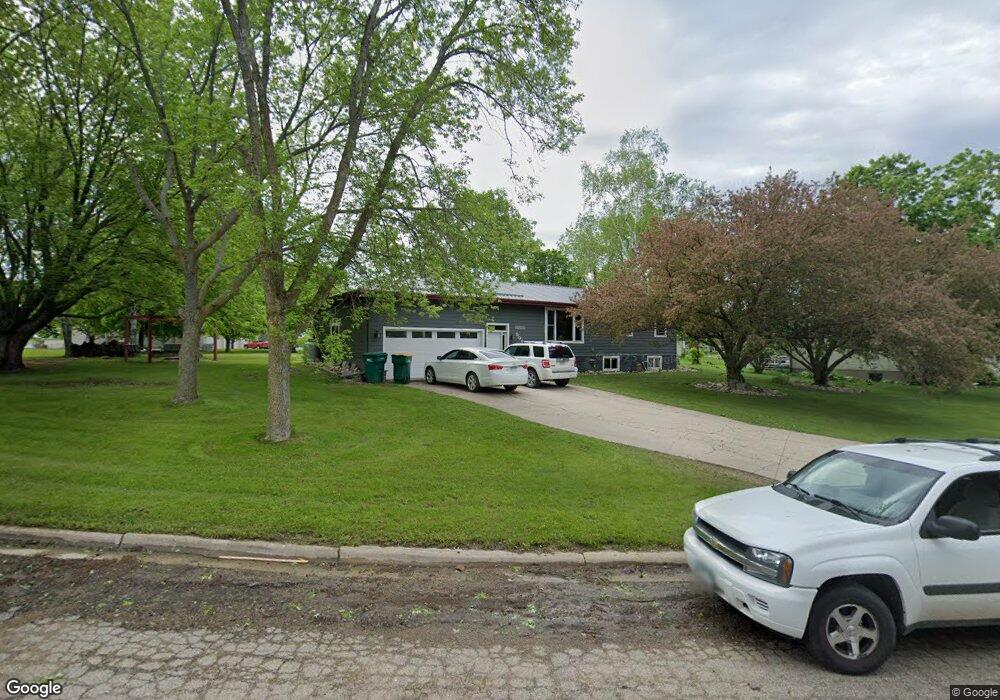
506 Holmes Ave Brandon, MN 56315
Estimated Value: $205,000 - $288,000
Studio
--
Bath
1,144
Sq Ft
$211/Sq Ft
Est. Value
About This Home
This home is located at 506 Holmes Ave, Brandon, MN 56315 and is currently estimated at $241,550, approximately $211 per square foot. 506 Holmes Ave is a home with nearby schools including Brandon Elementary School, Evansville Elementary School, and Brandon-Evansville Middle School.
Ownership History
Date
Name
Owned For
Owner Type
Purchase Details
Closed on
Jun 2, 2005
Sold by
Dingwall Thomas S and Dingwall Kimberly J
Bought by
Dingwall Jon T and Dingwall Kami J
Current Estimated Value
Home Financials for this Owner
Home Financials are based on the most recent Mortgage that was taken out on this home.
Original Mortgage
$1,249,450
Outstanding Balance
$658,574
Interest Rate
5.91%
Mortgage Type
New Conventional
Estimated Equity
-$417,024
Create a Home Valuation Report for This Property
The Home Valuation Report is an in-depth analysis detailing your home's value as well as a comparison with similar homes in the area
Purchase History
| Date | Buyer | Sale Price | Title Company |
|---|---|---|---|
| Dingwall Jon T | $122,500 | None Available |
Source: Public Records
Mortgage History
| Date | Status | Borrower | Loan Amount |
|---|---|---|---|
| Open | Dingwall Jon T | $1,249,450 |
Source: Public Records
Tax History
| Year | Tax Paid | Tax Assessment Tax Assessment Total Assessment is a certain percentage of the fair market value that is determined by local assessors to be the total taxable value of land and additions on the property. | Land | Improvement |
|---|---|---|---|---|
| 2025 | $2,862 | $208,500 | $17,400 | $191,100 |
| 2024 | $2,862 | $201,000 | $17,400 | $183,600 |
| 2023 | $2,928 | $180,500 | $17,400 | $163,100 |
| 2022 | $2,342 | $168,200 | $17,400 | $150,800 |
| 2021 | $2,058 | $152,500 | $17,400 | $135,100 |
| 2020 | $1,934 | $147,900 | $17,400 | $130,500 |
| 2019 | $1,702 | $136,700 | $17,400 | $119,300 |
| 2018 | $1,570 | $135,600 | $19,800 | $115,800 |
| 2017 | $1,534 | $130,000 | $19,800 | $110,200 |
| 2016 | $1,422 | $123,287 | $19,206 | $104,081 |
| 2015 | $1,360 | $0 | $0 | $0 |
| 2014 | -- | $114,500 | $26,600 | $87,900 |
Source: Public Records
Map
Nearby Homes
- 408 Lot1.4 5th St
- 406 Lot1.3 5th St
- 402 Lot #1 6th St E
- 420 Lot#5 6th St E
- 416 Lot#4 6th St E
- 206 3rd St E
- 503 Lot#19 6th St E
- 505 Lot#18 6th St E
- 424 Lot#6 6th St E
- 507 Lot#17 6th St E
- 505 Lot#9 5th St
- 504 Lot#7 6th St E
- 507 Lot#10 5th St
- 509 Lot#16 6th St E
- 504 Lot#11 5th St
- 310 Lot1.1 Mallard Ln
- 404 Lot1.2 Mallard Ln
- 12923 Tanglewood Rd NW
- Lot 6 Devils Lake Rd NW
- 13240 Devils Lake Rd NW Unit 20
Your Personal Tour Guide
Ask me questions while you tour the home.