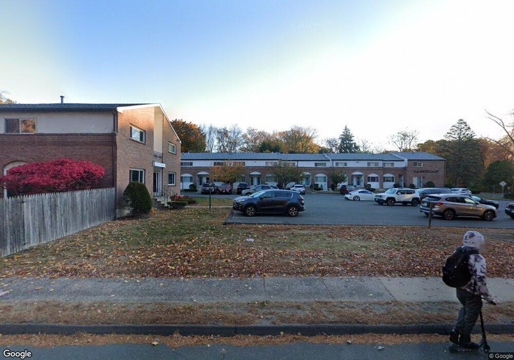
506 King St Unit 9 Bristol, CT 06010
Forestville NeighborhoodEstimated Value: $183,000 - $200,439
2
Beds
2
Baths
1,008
Sq Ft
$191/Sq Ft
Est. Value
About This Home
This home is located at 506 King St Unit 9, Bristol, CT 06010 and is currently estimated at $192,610, approximately $191 per square foot. 506 King St Unit 9 is a home located in Hartford County with nearby schools including Stafford School, Chippens Hill Middle School, and Bristol Eastern High School.
Ownership History
Date
Name
Owned For
Owner Type
Purchase Details
Closed on
May 4, 2004
Sold by
Taylor Robert R and Taylor Nancy H
Bought by
Page Amber E
Current Estimated Value
Home Financials for this Owner
Home Financials are based on the most recent Mortgage that was taken out on this home.
Original Mortgage
$99,200
Outstanding Balance
$46,052
Interest Rate
5.36%
Estimated Equity
$146,558
Create a Home Valuation Report for This Property
The Home Valuation Report is an in-depth analysis detailing your home's value as well as a comparison with similar homes in the area
Home Values in the Area
Average Home Value in this Area
Purchase History
| Date | Buyer | Sale Price | Title Company |
|---|---|---|---|
| Page Amber E | $101,500 | -- |
Source: Public Records
Mortgage History
| Date | Status | Borrower | Loan Amount |
|---|---|---|---|
| Open | Page Amber E | $27,807 | |
| Open | Page Amber E | $99,200 | |
| Closed | Page Amber E | $6,100 |
Source: Public Records
Tax History Compared to Growth
Tax History
| Year | Tax Paid | Tax Assessment Tax Assessment Total Assessment is a certain percentage of the fair market value that is determined by local assessors to be the total taxable value of land and additions on the property. | Land | Improvement |
|---|---|---|---|---|
| 2025 | $2,556 | $75,740 | $0 | $75,740 |
| 2024 | $2,412 | $75,740 | $0 | $75,740 |
| 2023 | $2,299 | $75,740 | $0 | $75,740 |
| 2022 | $2,156 | $56,210 | $0 | $56,210 |
| 2021 | $2,156 | $56,210 | $0 | $56,210 |
| 2020 | $2,156 | $56,210 | $0 | $56,210 |
| 2019 | $2,139 | $56,210 | $0 | $56,210 |
| 2018 | $2,073 | $56,210 | $0 | $56,210 |
| 2017 | $2,197 | $60,970 | $0 | $60,970 |
| 2016 | $2,197 | $60,970 | $0 | $60,970 |
| 2015 | $2,110 | $60,970 | $0 | $60,970 |
| 2014 | $2,110 | $60,970 | $0 | $60,970 |
Source: Public Records
Map
Nearby Homes
- 23 Daniel Rd
- 123 Garfield Rd
- 115 Garfield Rd
- 334 W Washington St
- 30 Adeline Ave
- 27 Adeline Ave
- 31 Morris Ave
- 172 Oakland St
- 5 Oakland St
- 482 Broad St Unit TRLR 14
- 482 Broad St Unit 3
- 111 Stearns St
- 16 Mechanic St
- 35 Broadview St
- 220 Blakeslee St Unit 220
- 196 Frederick St
- 62 Chatham Ln
- 0 Fairlawn St
- 73 Carol Dr
- 52 Barbara Rd
- 506 King St Unit 23
- 506 King St Unit 22
- 506 King St Unit 21
- 506 King St Unit 20
- 506 King St Unit 19
- 506 King St Unit 18
- 506 King St Unit 17
- 506 King St Unit 16
- 506 King St Unit 15
- 506 King St Unit 14
- 506 King St Unit 13
- 506 King St Unit 12
- 506 King St Unit 10
- 506 King St Unit 8
- 506 King St Unit 7
- 506 King St Unit 6
- 506 King St Unit 5
- 506 King St Unit 4
- 506 King St Unit 3
- 506 King St Unit 2