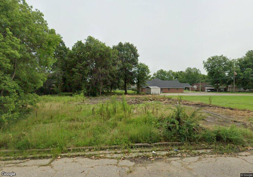
506 N 4th St Mc Gehee, AR 71654
Estimated Value: $107,000
--
Bed
1
Bath
--
Sq Ft
7,013
Sq Ft Lot
About This Home
This home is located at 506 N 4th St, Mc Gehee, AR 71654 and is currently estimated at $107,000. 506 N 4th St is a home located in Desha County with nearby schools including McGehee Elementary School, Conner Middle School, and McGehee High School.
Ownership History
Date
Name
Owned For
Owner Type
Purchase Details
Closed on
May 23, 2023
Sold by
Denton Latricia
Bought by
Rockinbox Properties Llc
Current Estimated Value
Purchase Details
Closed on
Oct 18, 2022
Sold by
Desha County
Bought by
Stearns Ryan K and Stearns Ronnie Rose
Purchase Details
Closed on
Jul 30, 2019
Sold by
Bn Land T
Bought by
Stearns Ryan K and Stearns Ronnie R
Purchase Details
Closed on
Nov 3, 2016
Sold by
Thurston John
Bought by
Bn Land Trust
Purchase Details
Closed on
Apr 9, 2009
Sold by
County Of Desha
Bought by
Summit Billy D and Summit Latricia D
Purchase Details
Closed on
Jul 9, 2003
Bought by
Billy and Latricia Summit
Purchase Details
Closed on
Jul 6, 1999
Bought by
Billy and Latricia Summitt
Purchase Details
Closed on
May 26, 1995
Bought by
Billy and Latricia Summitt
Purchase Details
Closed on
Nov 23, 1982
Bought by
Billy and Latricia Summitt
Purchase Details
Closed on
Mar 24, 1982
Bought by
Roy Bushing
Create a Home Valuation Report for This Property
The Home Valuation Report is an in-depth analysis detailing your home's value as well as a comparison with similar homes in the area
Home Values in the Area
Average Home Value in this Area
Purchase History
| Date | Buyer | Sale Price | Title Company |
|---|---|---|---|
| Rockinbox Properties Llc | -- | None Listed On Document | |
| Rockin Box Properties Llc | $500 | None Listed On Document | |
| Stearns Ryan K | $184 | -- | |
| Stearns Ryan K | -- | -- | |
| Bn Land Trust | -- | None Available | |
| Summit Billy D | $395 | None Available | |
| Billy | $700 | -- | |
| Billy | $700 | -- | |
| Billy | $800 | -- | |
| Billy | $10,000 | -- | |
| Roy Bushing | -- | -- |
Source: Public Records
Tax History Compared to Growth
Tax History
| Year | Tax Paid | Tax Assessment Tax Assessment Total Assessment is a certain percentage of the fair market value that is determined by local assessors to be the total taxable value of land and additions on the property. | Land | Improvement |
|---|---|---|---|---|
| 2025 | $32 | $600 | $600 | $0 |
| 2024 | $32 | $600 | $600 | $0 |
| 2023 | $32 | $600 | $600 | $0 |
| 2022 | $37 | $600 | $600 | $0 |
| 2021 | $37 | $600 | $600 | $0 |
| 2020 | $35 | $600 | $600 | $0 |
| 2019 | $35 | $600 | $600 | $0 |
| 2018 | $35 | $600 | $600 | $0 |
| 2017 | $35 | $600 | $600 | $0 |
| 2015 | -- | $1,050 | $600 | $450 |
| 2014 | -- | $1,050 | $600 | $450 |
| 2013 | -- | $1,050 | $600 | $450 |
Source: Public Records
Map
Nearby Homes
- 110 S Adams Ave
- 1 Shannon Dr
- 205 S 2nd St
- 1108 N 2nd St
- 309 S 5th St
- 32 Shannon Dr
- 0 Masonville Rd Unit 25037306
- 1608 N 3rd St
- Lot 1 S 1st St
- Lot 2 S 1st St
- 209 Sherwood St
- Lots 6-7 Bush St
- Lot 2 Cypress Gardens
- 109 Ashcraft St
- 604 Highway 65 S
- 1104 U S 65
- Vacant land Cater Ln
- 6 Paul St
- 22 Orlando Dr
- 475 S 2nd