506 Ridge Rd Crested Butte, CO 81224
Estimated Value: $4,215,639 - $5,577,000
4
Beds
4
Baths
3,296
Sq Ft
$1,468/Sq Ft
Est. Value
About This Home
This home is located at 506 Ridge Rd, Crested Butte, CO 81224 and is currently estimated at $4,840,160, approximately $1,468 per square foot. 506 Ridge Rd is a home located in Gunnison County with nearby schools including Gunnison Elementary School, Crested Butte Community School, and Gunnison Middle School.
Ownership History
Date
Name
Owned For
Owner Type
Purchase Details
Closed on
Nov 18, 2016
Sold by
Henry And Ruth Mariani Real Estate Llc
Bought by
Jabb Family Holdings Llc
Current Estimated Value
Purchase Details
Closed on
Jun 14, 2012
Sold by
Mariani Henry L and Mariani Ruth A
Bought by
Henry And Ruth Mariani Real Estate Llc
Purchase Details
Closed on
Aug 6, 1999
Sold by
Anderton Stewart B
Bought by
Mariani Henry J
Purchase Details
Closed on
Dec 20, 1993
Create a Home Valuation Report for This Property
The Home Valuation Report is an in-depth analysis detailing your home's value as well as a comparison with similar homes in the area
Home Values in the Area
Average Home Value in this Area
Purchase History
| Date | Buyer | Sale Price | Title Company |
|---|---|---|---|
| Jabb Family Holdings Llc | $2,300,000 | Stewart Title | |
| Henry And Ruth Mariani Real Estate Llc | -- | None Available | |
| Mariani Henry J | $290,000 | -- | |
| -- | $140,000 | -- |
Source: Public Records
Tax History Compared to Growth
Tax History
| Year | Tax Paid | Tax Assessment Tax Assessment Total Assessment is a certain percentage of the fair market value that is determined by local assessors to be the total taxable value of land and additions on the property. | Land | Improvement |
|---|---|---|---|---|
| 2024 | $20,539 | $270,180 | $28,470 | $241,710 |
| 2023 | $20,336 | $266,500 | $28,090 | $238,410 |
| 2022 | $16,918 | $189,490 | $15,650 | $173,840 |
| 2021 | $15,574 | $194,950 | $16,110 | $178,840 |
| 2020 | $12,194 | $144,860 | $22,520 | $122,340 |
| 2019 | $12,025 | $144,860 | $22,520 | $122,340 |
| 2018 | $10,938 | $121,600 | $17,500 | $104,100 |
| 2017 | $11,010 | $121,600 | $17,500 | $104,100 |
| 2016 | $7,885 | $90,700 | $17,700 | $73,000 |
| 2015 | $7,348 | $90,700 | $17,700 | $73,000 |
| 2014 | $7,348 | $75,220 | $18,020 | $57,200 |
Source: Public Records
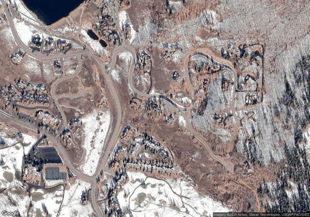
Map
Nearby Homes
- 412 Ridge Rd
- 315 Par Ln
- 350 Country Club Dr Unit 217A
- 350 Country Club Dr Unit 218A
- 350 Country Club Dr Unit 402A
- 434 Country Club Dr
- 0 Tbd Saddle Ridge Rd
- 1665 Skyland Dr
- 618 Country Club Dr
- 262 Larkspur Loop
- 402 Eagle Ln
- 365 Larkspur Loop
- 115 Larkspur Loop
- 166 & 168 Coyote Cir
- 168 W Silver Sage Dr
- 491 Slate River Dr
- 42 Lexie Ct
- 253 W Silver Sage Dr
- 77 S Avion Dr
- 44 County Road 738a Brush Creek Rd
- 0 Ridge Rd Unit Tract 7, The Ridge a
- 0 Ridge Rd Unit Lot S-16, Skyland
- 0 Ridge Rd Unit 2518
- 0 Ridge Rd Unit 2610
- 0 Ridge Rd Unit 2665
- 0 Ridge Rd Unit 3251
- 0 Ridge Rd Unit 3358
- 0 Ridge Rd Unit Tract 6 and 7, The R
- 0 Ridge Rd
- 1156 Ridge Rd
- 1156 Ridge Rd Unit Lot S-16, Skyland
- 497 Ridge Rd
- 123 Forest Ln
- 6 St Andrews Cir
- 9 St Andrews Cir
- 7 St Andrews Cir
- 10 St Andrews Cir
- 8 St Andrews Cir
- 11 St Andrews Cir Unit 11 Golf Villas
- 8 St Andrews Cir Unit 8 Golf Villas