506 Society Place Unit 5D2 Newtown, PA 18940
Estimated Value: $350,000 - $367,000
2
Beds
2
Baths
1,180
Sq Ft
$305/Sq Ft
Est. Value
About This Home
This home is located at 506 Society Place Unit 5D2, Newtown, PA 18940 and is currently estimated at $360,364, approximately $305 per square foot. 506 Society Place Unit 5D2 is a home located in Bucks County with nearby schools including Newtown Elementary School, Newtown Middle School, and Council Rock High School North.
Ownership History
Date
Name
Owned For
Owner Type
Purchase Details
Closed on
Aug 11, 2005
Sold by
Higgins Thomas M
Bought by
Detato Kenneth M and Detato Rosa
Current Estimated Value
Home Financials for this Owner
Home Financials are based on the most recent Mortgage that was taken out on this home.
Original Mortgage
$175,200
Outstanding Balance
$92,802
Interest Rate
5.79%
Mortgage Type
Fannie Mae Freddie Mac
Estimated Equity
$267,562
Purchase Details
Closed on
Jan 5, 2000
Sold by
Digangi Patrick P and Digangi Kimberly A
Bought by
Higgins Thomas M
Home Financials for this Owner
Home Financials are based on the most recent Mortgage that was taken out on this home.
Original Mortgage
$79,600
Interest Rate
7.84%
Create a Home Valuation Report for This Property
The Home Valuation Report is an in-depth analysis detailing your home's value as well as a comparison with similar homes in the area
Home Values in the Area
Average Home Value in this Area
Purchase History
| Date | Buyer | Sale Price | Title Company |
|---|---|---|---|
| Detato Kenneth M | $219,000 | None Available | |
| Higgins Thomas M | $99,500 | Lawyers Title Insurance Corp |
Source: Public Records
Mortgage History
| Date | Status | Borrower | Loan Amount |
|---|---|---|---|
| Open | Detato Kenneth M | $175,200 | |
| Previous Owner | Higgins Thomas M | $79,600 |
Source: Public Records
Tax History Compared to Growth
Tax History
| Year | Tax Paid | Tax Assessment Tax Assessment Total Assessment is a certain percentage of the fair market value that is determined by local assessors to be the total taxable value of land and additions on the property. | Land | Improvement |
|---|---|---|---|---|
| 2025 | $3,391 | $19,080 | -- | $19,080 |
| 2024 | $3,391 | $19,080 | $0 | $19,080 |
| 2023 | $3,244 | $19,080 | $0 | $19,080 |
| 2022 | $3,182 | $19,080 | $0 | $19,080 |
| 2021 | $3,132 | $19,080 | $0 | $19,080 |
| 2020 | $2,981 | $19,080 | $0 | $19,080 |
| 2019 | $2,911 | $19,080 | $0 | $19,080 |
| 2018 | $2,856 | $19,080 | $0 | $19,080 |
| 2017 | $2,756 | $19,080 | $0 | $19,080 |
| 2016 | $2,737 | $19,080 | $0 | $19,080 |
| 2015 | -- | $19,080 | $0 | $19,080 |
| 2014 | -- | $19,080 | $0 | $19,080 |
Source: Public Records
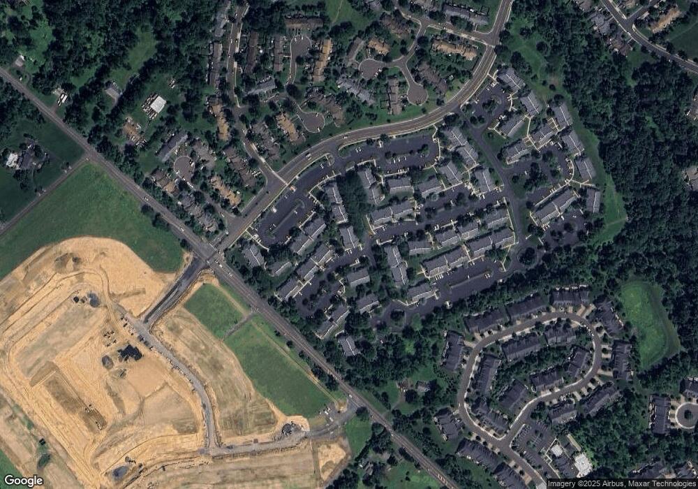
Map
Nearby Homes
- 2212 Society Place Unit D2
- 401 Society Place Unit A1
- 702 Society Place Unit A2
- 95 Rittenhouse Cir Unit 92
- 0 Augusta Dr Unit LANEY
- 0 Augusta Dr Unit RAINTREE
- 0 Augusta Dr Unit KINGSWOOD
- 0 Augusta Dr Unit MAYWEATHER
- 0 Augusta Dr Unit ROLLINS
- 0 Augusta Dr Unit CLOVERFIELD
- Rollins Plan at Lyondale Meadows
- Laney Plan at Lyondale Meadows
- Kingswood Plan at Lyondale Meadows
- Raintree Plan at Lyondale Meadows
- Mayweather Plan at Lyondale Meadows
- Cloverfield Plan at Lyondale Meadows
- 101 Laurel Cir
- 35 Elfreths Ct
- 13 Sparrow Walk
- 291 Sequoia Dr
- 506 Society Place Unit D2
- 505 Society Place Unit D1
- 505 Society Place Unit 5D1
- 507 Society Place Unit C1
- 507 Society Place Unit 5C1
- 508 Society Place Unit C2
- 502 Society Place
- 504 Society Place Unit B2
- 503 Society Place Unit B1
- 501 Society Place
- 501 Society Place Unit A1
- 614 Society Place Unit 6F2
- 614 Society Place Unit F2
- 613 Society Place
- 615 Society Place Unit E1
- 615 Society Place Unit 6E1
- 616 Society Place Unit 6E2
- 616 Society Place Unit 6
- 414 Society Place Unit F2
- 414 Society Place Unit 4F2