5060 Mac Leod Trail Georgetown, CA 95634
Estimated Value: $335,000 - $419,000
2
Beds
1
Bath
1,042
Sq Ft
$369/Sq Ft
Est. Value
About This Home
This home is located at 5060 Mac Leod Trail, Georgetown, CA 95634 and is currently estimated at $384,578, approximately $369 per square foot. 5060 Mac Leod Trail is a home located in El Dorado County with nearby schools including Georgetown Elementary School, Golden Sierra Junior Senior High, and American River Charter School.
Ownership History
Date
Name
Owned For
Owner Type
Purchase Details
Closed on
Nov 4, 2022
Sold by
Mullen Trust
Bought by
Martinez Zachary and Mabray Desiriah Ann
Current Estimated Value
Home Financials for this Owner
Home Financials are based on the most recent Mortgage that was taken out on this home.
Original Mortgage
$396,730
Outstanding Balance
$384,405
Interest Rate
6.94%
Mortgage Type
New Conventional
Estimated Equity
$173
Create a Home Valuation Report for This Property
The Home Valuation Report is an in-depth analysis detailing your home's value as well as a comparison with similar homes in the area
Home Values in the Area
Average Home Value in this Area
Purchase History
| Date | Buyer | Sale Price | Title Company |
|---|---|---|---|
| Martinez Zachary | $409,000 | Placer Title |
Source: Public Records
Mortgage History
| Date | Status | Borrower | Loan Amount |
|---|---|---|---|
| Open | Martinez Zachary | $396,730 |
Source: Public Records
Tax History
| Year | Tax Paid | Tax Assessment Tax Assessment Total Assessment is a certain percentage of the fair market value that is determined by local assessors to be the total taxable value of land and additions on the property. | Land | Improvement |
|---|---|---|---|---|
| 2025 | $3,753 | $347,493 | $78,030 | $269,463 |
| 2024 | $3,753 | $340,680 | $76,500 | $264,180 |
| 2023 | $1,365 | $111,580 | $24,081 | $87,499 |
| 2022 | $1,344 | $109,393 | $23,609 | $85,784 |
| 2021 | $1,324 | $107,249 | $23,147 | $84,102 |
| 2020 | $1,308 | $106,150 | $22,910 | $83,240 |
| 2019 | $1,286 | $104,069 | $22,461 | $81,608 |
| 2018 | $1,252 | $102,029 | $22,021 | $80,008 |
| 2017 | $1,230 | $100,030 | $21,590 | $78,440 |
| 2016 | $1,209 | $98,069 | $21,167 | $76,902 |
| 2015 | $1,170 | $96,598 | $20,850 | $75,748 |
| 2014 | $1,170 | $94,708 | $20,443 | $74,265 |
Source: Public Records
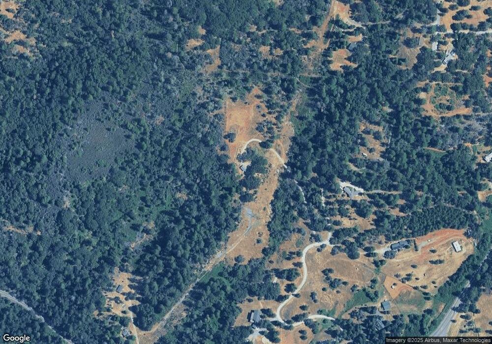
Map
Nearby Homes
- 5790 Reservoir Rd
- 3400 Graybar Mine Rd
- 6141 California 193
- 3235 Black Ridge Rd
- 3620 Graybar Mine Rd
- 6313 State Highway 193
- 3238 South St
- 6655 Orleans St
- 3291 Stage Trail Rd
- 6301 Canyon Creek Rd
- 2860 Alphabet Ln
- 6950 Fools Canyon Rd
- 5045 Cedar Dr
- 4721 Jefferys Ct
- 2801 Harkness St
- 5010 Hope Mountain Rd
- 2870 Derrick Dr
- 4017 Shadrack Ln
- 3087 B St
- 2940 Moose Trail
- 5060 Mac Leod Trail
- 5045 Mac Leod Trail
- 5225 State Highway 193
- 5021 Mac Leod Trail
- 0 Mac Leod Trail
- 1 Mac Leod Trail
- 5012 Mac Leod Trail
- 2920 Holloway Dr
- 5140 Mac Leod Trail
- 2910 Holloway Dr
- 5280 State Highway 193
- 5680 Honeysuckle Dr
- 2 Honeysuckle Cir
- 5681 California 193
- 5511 State Highway 193
- 2880 Holloway Dr
- 2901 Holloway Dr
- 3021 Graybar Mine Rd
- 3060 Graybar Mine Rd
- 2917 Holloway Dr
Your Personal Tour Guide
Ask me questions while you tour the home.