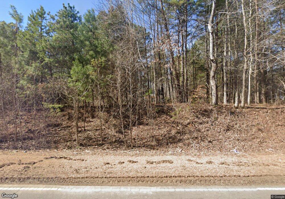
5061 Range Rd Oxford, NC 27565
Estimated Value: $314,000 - $574,000
--
Bed
3
Baths
2,576
Sq Ft
$166/Sq Ft
Est. Value
About This Home
This home is located at 5061 Range Rd, Oxford, NC 27565 and is currently estimated at $426,447, approximately $165 per square foot. 5061 Range Rd is a home located in Granville County with nearby schools including West Oxford Elementary School, Northern Granville Middle School, and Granville Central High School.
Ownership History
Date
Name
Owned For
Owner Type
Purchase Details
Closed on
Jul 15, 2024
Sold by
Hicks Amanda Denise
Bought by
Hicks Larry M
Current Estimated Value
Purchase Details
Closed on
Jan 13, 2023
Sold by
Ulrich John M
Bought by
Hicks Amanda Denise and Hicks Larry M
Purchase Details
Closed on
Nov 10, 2009
Sold by
Builder Tony Hirst Llc
Bought by
Ulrich John M and Ulrich Amanda H
Home Financials for this Owner
Home Financials are based on the most recent Mortgage that was taken out on this home.
Original Mortgage
$251,780
Interest Rate
4.93%
Mortgage Type
FHA
Create a Home Valuation Report for This Property
The Home Valuation Report is an in-depth analysis detailing your home's value as well as a comparison with similar homes in the area
Home Values in the Area
Average Home Value in this Area
Purchase History
| Date | Buyer | Sale Price | Title Company |
|---|---|---|---|
| Hicks Larry M | -- | None Listed On Document | |
| Hicks Amanda Denise | $80,000 | -- | |
| Ulrich John M | $256,500 | -- |
Source: Public Records
Mortgage History
| Date | Status | Borrower | Loan Amount |
|---|---|---|---|
| Previous Owner | Ulrich John M | $251,780 |
Source: Public Records
Tax History Compared to Growth
Tax History
| Year | Tax Paid | Tax Assessment Tax Assessment Total Assessment is a certain percentage of the fair market value that is determined by local assessors to be the total taxable value of land and additions on the property. | Land | Improvement |
|---|---|---|---|---|
| 2025 | $2,348 | $335,923 | $32,671 | $303,252 |
| 2024 | $2,348 | $335,923 | $32,671 | $303,252 |
| 2023 | $2,345 | $221,682 | $22,582 | $199,100 |
| 2022 | $2,028 | $221,682 | $22,582 | $199,100 |
| 2021 | $1,890 | $221,682 | $22,582 | $199,100 |
| 2020 | $1,890 | $221,682 | $22,582 | $199,100 |
| 2019 | $1,890 | $221,682 | $22,582 | $199,100 |
| 2018 | $1,890 | $221,682 | $22,582 | $199,100 |
| 2016 | $1,851 | $199,677 | $22,153 | $177,524 |
| 2015 | $1,746 | $199,677 | $22,153 | $177,524 |
| 2014 | $1,746 | $199,677 | $22,153 | $177,524 |
| 2013 | -- | $199,677 | $22,153 | $177,524 |
Source: Public Records
Map
Nearby Homes
- 5586 Shelton Creek Rd
- 4551 Sugar Maple Rd
- 1545 Dogwood Dr
- 5606 Oakley Hill
- 595 George Sherman Rd
- Lot 15 Poppy Mallow Ln
- Lot 12 Poppy Mallow Ln
- Lot 3 Uzzle Rd
- 5148 Lucy Averette Rd
- Lot 7 Poppy Mallow Ln
- Lot 14 Poppy Mallow Ln
- 4465 Poppy Mallow Ln
- 4453 Poppy Mallow Ln
- Lot 14h Poppy Mallow Ln
- Lot 1 Poppy Mallow Ln
- 4455 Poppy Mallow Ln
- Lot 4 Poppy Mallow Ln
- Lot 3 Poppy Mallow Ln
- 4459 Poppy Mallow Ln
- The Cameron- Value Series Plan at Murphy's Ridge - Value Series
- 5061 Range Rd Unit C
- 5067 Range Rd
- 5071 Range Rd
- 5064 Range Rd
- 5073 Range Rd
- 5079 Range Rd
- 5081 Range Rd
- 5080 Range Rd
- 5076 Range Rd
- 5087 Range Rd
- 6103 Range Rd
- 5057 Range Rd
- 5097 Range Rd
- 0 Range Rd Unit 1003787
- 0 Range Rd Unit 1001363
- 0 Range Rd Unit 1616004
- 0 Range Rd Unit 780131
- 0 Range Rd Unit 801132
- 0 Range Rd Unit 844163
- 0 Range Rd Unit 938111
