5065 Sherwood Ln Conover, NC 28613
Estimated Value: $288,000 - $364,000
3
Beds
3
Baths
1,867
Sq Ft
$169/Sq Ft
Est. Value
About This Home
This home is located at 5065 Sherwood Ln, Conover, NC 28613 and is currently estimated at $315,564, approximately $169 per square foot. 5065 Sherwood Ln is a home located in Catawba County with nearby schools including Lyle Creek Elementary School, River Bend Middle School, and Bunker Hill High School.
Ownership History
Date
Name
Owned For
Owner Type
Purchase Details
Closed on
Apr 1, 2008
Sold by
Martin Bill
Bought by
Martin Gay Carroll
Current Estimated Value
Home Financials for this Owner
Home Financials are based on the most recent Mortgage that was taken out on this home.
Original Mortgage
$85,000
Interest Rate
5.56%
Mortgage Type
New Conventional
Create a Home Valuation Report for This Property
The Home Valuation Report is an in-depth analysis detailing your home's value as well as a comparison with similar homes in the area
Home Values in the Area
Average Home Value in this Area
Purchase History
| Date | Buyer | Sale Price | Title Company |
|---|---|---|---|
| Martin Gay Carroll | -- | None Available |
Source: Public Records
Mortgage History
| Date | Status | Borrower | Loan Amount |
|---|---|---|---|
| Closed | Martin Gay Carroll | $85,000 |
Source: Public Records
Tax History Compared to Growth
Tax History
| Year | Tax Paid | Tax Assessment Tax Assessment Total Assessment is a certain percentage of the fair market value that is determined by local assessors to be the total taxable value of land and additions on the property. | Land | Improvement |
|---|---|---|---|---|
| 2025 | $1,414 | $270,700 | $9,800 | $260,900 |
| 2024 | $1,414 | $270,700 | $9,800 | $260,900 |
| 2023 | $1,358 | $173,100 | $9,500 | $163,600 |
| 2022 | $1,203 | $173,100 | $9,500 | $163,600 |
| 2021 | $1,203 | $173,100 | $9,500 | $163,600 |
| 2020 | $1,203 | $173,100 | $9,500 | $163,600 |
| 2019 | $1,203 | $173,100 | $0 | $0 |
| 2018 | $1,022 | $147,000 | $9,400 | $137,600 |
| 2017 | $1,022 | $0 | $0 | $0 |
| 2016 | $1,022 | $0 | $0 | $0 |
| 2015 | $1,009 | $146,990 | $9,400 | $137,590 |
| 2014 | $1,009 | $168,100 | $9,400 | $158,700 |
Source: Public Records
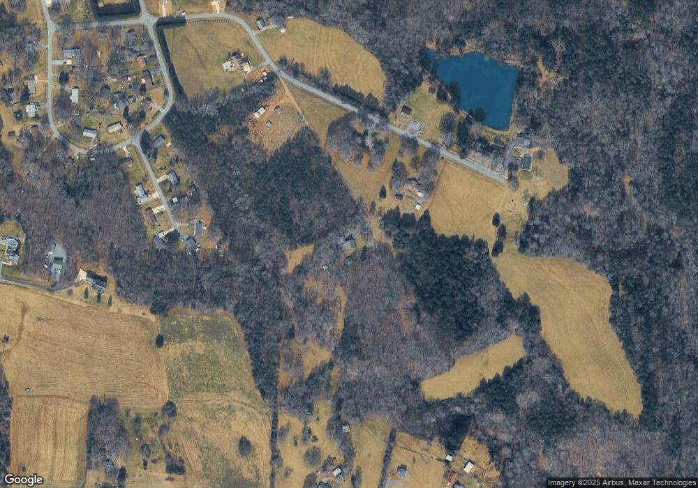
Map
Nearby Homes
- 5309 Hall St
- 1246 Houston Mill Rd
- 5429 Buddy St Unit LOT 3
- 5260 Rifle Range Rd
- 5217 Canterbury Dr
- 4874 Stone Dr Unit 125
- 4858 Water Wheel Dr
- 1371 Millrace Dr
- 4645 Rifle Range Rd
- 4932 Sandstone Dr
- 4687 Ransom Dr
- 3951 Springs Rd
- 4150 Wandering Ln NE
- 4965 Elmhurst Dr NE
- 4850 Woodwinds Dr NE
- 5826 St Peters Church Rd
- 3646 46th Ave NE
- 3622 46th Ave NE
- 3835 Sulphur Springs Rd NE
- 5005 Woodwinds Dr NE
- 1153 Elgin Dr
- 1181 Elgin Dr
- 5103 Sherwood Ln
- 5084 Circle Dr
- 1166 Elgin Dr
- 5094 Circle Dr
- 5094 Circle Dr Unit 6/D
- 1134 Elgin Dr
- 5081 Circle Dr
- 5106 Circle Dr
- 5093 Circle Dr
- 4840 N Nc 16 Hwy
- 4798 N Nc 16 Hwy
- 4824 N Nc 16 Hwy
- 4812 N Nc 16 Hwy
- 4778 N Nc 16 Hwy
- 4850 N Nc 16 Hwy
- 4764 N Nc 16 Hwy
- 5140 Hall St
- 1263 Elgin Dr