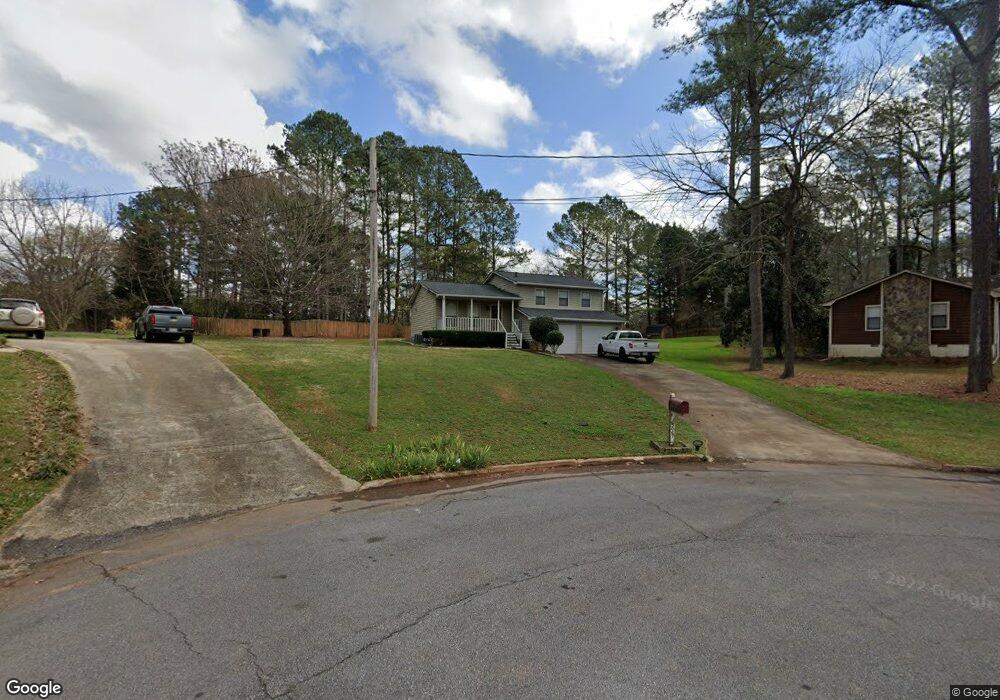
5067 Phillip Ct Unit 2 Stone Mountain, GA 30087
Estimated Value: $270,000 - $280,972
3
Beds
2
Baths
1,152
Sq Ft
$241/Sq Ft
Est. Value
About This Home
This home is located at 5067 Phillip Ct Unit 2, Stone Mountain, GA 30087 and is currently estimated at $277,243, approximately $240 per square foot. 5067 Phillip Ct Unit 2 is a home located in Gwinnett County with nearby schools including Annistown Elementary School, Shiloh Middle School, and Shiloh High School.
Ownership History
Date
Name
Owned For
Owner Type
Purchase Details
Closed on
Mar 28, 2001
Sold by
Butler Moinica
Bought by
Maxwell Ronnie T
Current Estimated Value
Home Financials for this Owner
Home Financials are based on the most recent Mortgage that was taken out on this home.
Original Mortgage
$113,223
Outstanding Balance
$40,683
Interest Rate
7.01%
Mortgage Type
FHA
Estimated Equity
$236,560
Purchase Details
Closed on
Aug 14, 1998
Sold by
Harrison Johnny W and Harrison Laurie E
Bought by
Butler Monica
Home Financials for this Owner
Home Financials are based on the most recent Mortgage that was taken out on this home.
Original Mortgage
$80,000
Interest Rate
6.91%
Mortgage Type
New Conventional
Create a Home Valuation Report for This Property
The Home Valuation Report is an in-depth analysis detailing your home's value as well as a comparison with similar homes in the area
Home Values in the Area
Average Home Value in this Area
Purchase History
| Date | Buyer | Sale Price | Title Company |
|---|---|---|---|
| Maxwell Ronnie T | $115,000 | -- | |
| Butler Monica | $100,000 | -- |
Source: Public Records
Mortgage History
| Date | Status | Borrower | Loan Amount |
|---|---|---|---|
| Open | Maxwell Ronnie T | $113,223 | |
| Previous Owner | Butler Monica | $80,000 |
Source: Public Records
Tax History Compared to Growth
Tax History
| Year | Tax Paid | Tax Assessment Tax Assessment Total Assessment is a certain percentage of the fair market value that is determined by local assessors to be the total taxable value of land and additions on the property. | Land | Improvement |
|---|---|---|---|---|
| 2025 | $2,834 | $107,840 | $23,720 | $84,120 |
| 2024 | $3,008 | $110,760 | $23,720 | $87,040 |
| 2023 | $3,008 | $98,480 | $20,000 | $78,480 |
| 2022 | $2,479 | $87,280 | $16,800 | $70,480 |
| 2021 | $1,900 | $58,280 | $12,000 | $46,280 |
| 2020 | $1,911 | $58,280 | $12,000 | $46,280 |
| 2019 | $1,740 | $52,400 | $12,000 | $40,400 |
| 2018 | $1,736 | $52,400 | $12,000 | $40,400 |
| 2016 | $1,275 | $33,320 | $8,000 | $25,320 |
| 2015 | $1,193 | $30,720 | $6,400 | $24,320 |
| 2014 | -- | $30,720 | $6,400 | $24,320 |
Source: Public Records
Map
Nearby Homes
- 5045 Carole Place
- 5115 Carole Place
- 3298 Drummond Dr Unit 2
- 3346 Deshong Dr
- 7550 Waters Edge Dr
- 5380 Rock Place Dr
- 3216 Deshong Dr
- 5039 Seabrook Place
- 3191 Mineral Ridge Ln
- 7593 Watson Bay Ct
- 3093 Deshong Dr
- 596 Watson Cove
- 7592 Watson Kaye
- 7606 Watson Kaye
- 3135 Juhan Rd
- 3047 Sanibel Dr Unit 1
- 7536 Stonebridge Bay Ct
- 7249 Misty Harbor Ct
- 672 Stonebridge Loop
- 5272 Cumberland Way
- 5068 Phillip Ct Unit 13
- 5068 Phillip Ct
- 5077 Phillip Ct Unit 2
- 3534 Sheree Trail
- 5078 Phillip Ct Unit 2
- 3524 Sheree Trail
- 3524 Sheree Trail
- 3524 Sheree Trail
- 5117 Dekalb Way
- 5127 Dekalb Way Unit 2
- 5088 Phillip Ct
- 5088 Phillip Ct
- 5087 Phillip Ct Unit 2
- 5107 Dekalb Way Unit 2
- 5137 Dekalb Way
- 3544 Sheree Trail
- 3514 Sheree Trail
- 5098 Phillip Ct
- 5147 Dekalb Way
- 3504 Sheree Trail