5068 Oak Dr SW Unit 14G Carrollton, OH 44615
Estimated Value: $61,000 - $186,000
2
Beds
1
Bath
850
Sq Ft
$146/Sq Ft
Est. Value
About This Home
This home is located at 5068 Oak Dr SW Unit 14G, Carrollton, OH 44615 and is currently estimated at $124,000, approximately $145 per square foot. 5068 Oak Dr SW Unit 14G is a home located in Carroll County with nearby schools including Carrollton High School.
Ownership History
Date
Name
Owned For
Owner Type
Purchase Details
Closed on
May 1, 2018
Sold by
Cheuvront Jarrin M and Cheuvront Sara A
Bought by
Thornberry William S and Thornberry Kimberly K
Current Estimated Value
Purchase Details
Closed on
Jun 4, 2013
Sold by
Ramsey Edwin C and Ramsey Christine A
Bought by
Cheuvront Jarrin M and Cheuvront Sara A
Purchase Details
Closed on
Jul 25, 2012
Sold by
Rieder Mary Ann and Johnson Roberta Jean
Bought by
Ramsey Edwin C and Ramsey Christine A
Create a Home Valuation Report for This Property
The Home Valuation Report is an in-depth analysis detailing your home's value as well as a comparison with similar homes in the area
Home Values in the Area
Average Home Value in this Area
Purchase History
| Date | Buyer | Sale Price | Title Company |
|---|---|---|---|
| Thornberry William S | $27,000 | None Available | |
| Cheuvront Jarrin M | $4,800 | Attorney | |
| Ramsey Edwin C | -- | Attorney |
Source: Public Records
Tax History Compared to Growth
Tax History
| Year | Tax Paid | Tax Assessment Tax Assessment Total Assessment is a certain percentage of the fair market value that is determined by local assessors to be the total taxable value of land and additions on the property. | Land | Improvement |
|---|---|---|---|---|
| 2024 | $44 | $1,240 | $1,240 | $0 |
| 2023 | $44 | $1,240 | $1,240 | $0 |
| 2022 | $47 | $1,030 | $1,030 | $0 |
| 2021 | $41 | $1,030 | $1,030 | $0 |
| 2020 | $39 | $1,030 | $1,030 | $0 |
| 2019 | $40 | $1,029 | $1,029 | $0 |
| 2018 | $199 | $5,760 | $5,720 | $40 |
| 2017 | $199 | $5,760 | $5,720 | $40 |
| 2016 | $334 | $10,560 | $5,240 | $5,320 |
| 2015 | $334 | $10,560 | $5,240 | $5,320 |
| 2014 | $356 | $10,560 | $5,240 | $5,320 |
| 2013 | $353 | $10,560 | $5,240 | $5,320 |
Source: Public Records
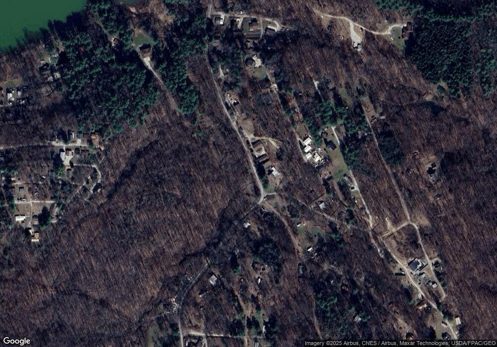
Map
Nearby Homes
- 2227 Elk Rd SW Unit 14A
- 1121 Center St SW
- 2245 Scroll Rd SW Unit 17
- 6090 Revere Rd SW
- 8013 & 8019 East St SW
- 7822 Hilltop Dr NW
- 2081 Antigua Rd SW Unit 17
- 8116 Deer Rd SW Unit 29B3
- 5140 Pinto Rd SE
- 0 Deer Rd SW
- 9218 Deacon Rd SW
- 10 S Ohio St
- 144 Arrow Rd SW Unit 19
- 8125 Scio Rd SE Unit 35
- 1045 Amsterdam Rd SE Unit 30
- 17 West St
- 4414 Cumberland Rd SW Unit 9
- 1186 Lincoln St SW
- 6170 Paradise Dr SW
- 424 Avalon Rd SW Unit 31
- 5082 Poplar Dr SW Unit 14G
- 5072 Shawnee Dr SW
- 5072 Shawnee Dr SW
- 5106 Poplar Dr SW Unit 14G
- 5175 Willowbrook Dr SW
- 5107 Poplar Dr SW Unit 14G
- 5055 Meadow Dr SW Unit 14D
- 5074 Poplar Dr SW Unit 14G
- 5110 Poplar Dr SW
- 5042 Shawnee Dr SW
- 5042 Shawnee Dr SW
- 5042 Shawnee Dr SW
- 5042 Shawnee Dr SW
- 5097 Willowbrook Dr SW
- 5085 Poplar Dr SW
- 5090 Willowbrook Dr SW Unit 14H
- 5070 Poplar Dr SW
- 5103 Willowbrook Dr SW Unit 14H
- 5097 Ferndale Dr SW
- 5117 Poplar Dr SW Unit 14G