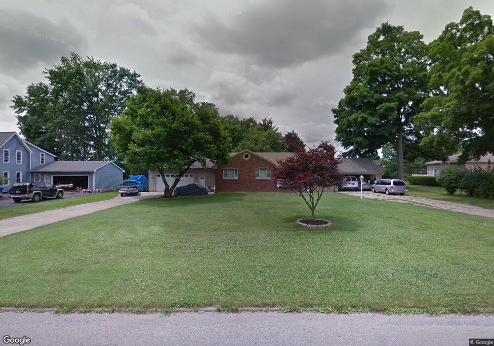
5068 Simon Rd Youngstown, OH 44512
Estimated Value: $179,000 - $204,839
3
Beds
1
Bath
1,456
Sq Ft
$133/Sq Ft
Est. Value
About This Home
This home is located at 5068 Simon Rd, Youngstown, OH 44512 and is currently estimated at $192,960, approximately $132 per square foot. 5068 Simon Rd is a home located in Mahoning County with nearby schools including Robinwood Lane Elementary School, Boardman Glenwood Junior High School, and Boardman High School.
Ownership History
Date
Name
Owned For
Owner Type
Purchase Details
Closed on
Feb 20, 2008
Sold by
Byres Brianne L
Bought by
Duff Gary C
Current Estimated Value
Purchase Details
Closed on
Jan 31, 2008
Sold by
Duff Richard W
Bought by
Duff Gary C
Purchase Details
Closed on
Apr 12, 2002
Sold by
Duff Gary C
Bought by
Duff Richard W and Byres Brianne L
Purchase Details
Closed on
Dec 8, 1997
Sold by
Duff Richard E and Duff Eunice M
Bought by
Duff Gary C
Purchase Details
Closed on
May 19, 1975
Bought by
Pirko Anna
Create a Home Valuation Report for This Property
The Home Valuation Report is an in-depth analysis detailing your home's value as well as a comparison with similar homes in the area
Home Values in the Area
Average Home Value in this Area
Purchase History
| Date | Buyer | Sale Price | Title Company |
|---|---|---|---|
| Duff Gary C | -- | None Available | |
| Duff Gary C | -- | None Available | |
| Duff Richard W | -- | -- | |
| Duff Gary C | -- | -- | |
| Pirko Anna | -- | -- |
Source: Public Records
Tax History Compared to Growth
Tax History
| Year | Tax Paid | Tax Assessment Tax Assessment Total Assessment is a certain percentage of the fair market value that is determined by local assessors to be the total taxable value of land and additions on the property. | Land | Improvement |
|---|---|---|---|---|
| 2024 | $2,896 | $55,940 | $8,320 | $47,620 |
| 2023 | $2,858 | $55,940 | $8,320 | $47,620 |
| 2022 | $2,773 | $41,490 | $8,140 | $33,350 |
| 2021 | $2,774 | $41,490 | $8,140 | $33,350 |
| 2020 | $2,788 | $41,490 | $8,140 | $33,350 |
| 2019 | $2,611 | $33,730 | $6,620 | $27,110 |
| 2018 | $2,177 | $33,730 | $6,620 | $27,110 |
| 2017 | $2,235 | $33,730 | $6,620 | $27,110 |
| 2016 | $2,315 | $35,900 | $7,400 | $28,500 |
| 2015 | $2,269 | $35,900 | $7,400 | $28,500 |
| 2014 | $2,338 | $35,900 | $7,400 | $28,500 |
| 2013 | $2,310 | $35,900 | $7,400 | $28,500 |
Source: Public Records
Map
Nearby Homes
- 744 Nellbert Ln
- 0 Cranberry Ln Unit 5119702
- 0 Mulberry Ln Unit 5119623
- 429 Tudor Ln
- 4622 Simon Rd
- 0 Indianola Rd
- 4534 South Ave
- 885 Afton Ave
- 323 Melrose Ave
- 4552 New England Blvd
- 0 Moyer Ave
- 268 Erskine Ave
- 4212 South Ave
- 220 Afton Ave
- 4197 South Ave
- 167 Afton Ave
- 928 Edenridge Dr
- 796 Edenridge Dr
- 0 Mathews Rd Unit 5038026
- 186 Maple Dr