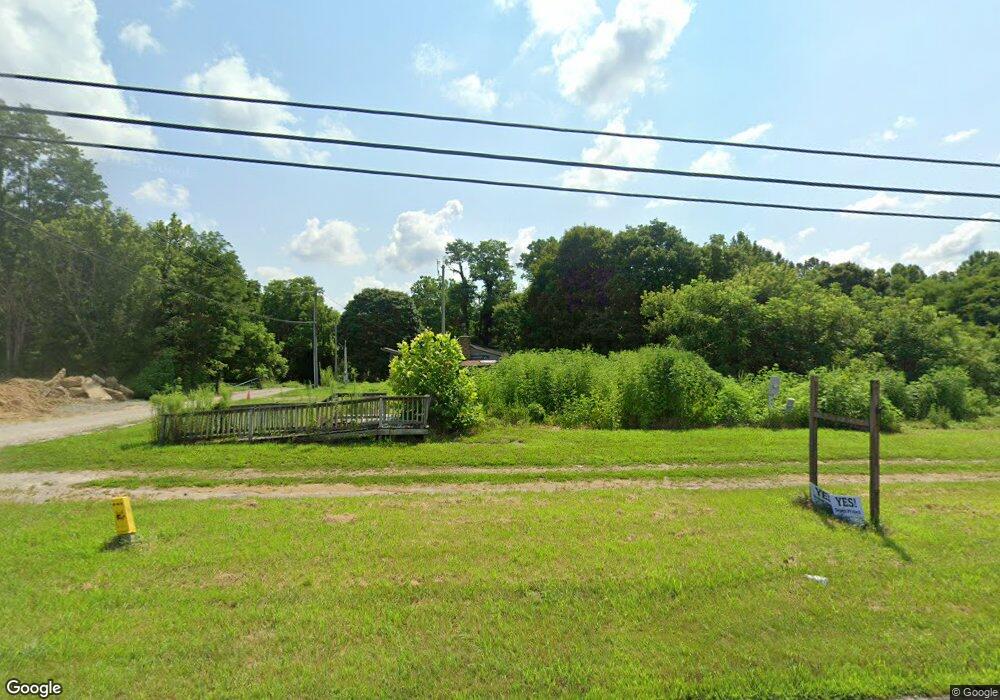
5069 N State Road 135 Morgantown, IN 46160
Estimated Value: $210,443 - $351,000
3
Beds
2
Baths
1,494
Sq Ft
$191/Sq Ft
Est. Value
About This Home
This home is located at 5069 N State Road 135, Morgantown, IN 46160 and is currently estimated at $285,611, approximately $191 per square foot. 5069 N State Road 135 is a home located in Brown County with nearby schools including Brown County High School.
Ownership History
Date
Name
Owned For
Owner Type
Purchase Details
Closed on
Feb 26, 2014
Bought by
Mcdonald Matthew James
Current Estimated Value
Purchase Details
Closed on
Jun 19, 2013
Bought by
Secretary Of Housing And Urban Devel
Purchase Details
Closed on
Jun 13, 2013
Sold by
Followell Rick
Bought by
Bank Of America
Purchase Details
Closed on
Apr 19, 2010
Sold by
Fluharty Rose M
Bought by
Fluharty James C
Create a Home Valuation Report for This Property
The Home Valuation Report is an in-depth analysis detailing your home's value as well as a comparison with similar homes in the area
Home Values in the Area
Average Home Value in this Area
Purchase History
| Date | Buyer | Sale Price | Title Company |
|---|---|---|---|
| Mcdonald Matthew James | -- | -- | |
| Secretary Of Housing And Urban Devel | -- | -- | |
| Bank Of America | $24,850 | -- | |
| Fluharty James C | -- | -- |
Source: Public Records
Tax History Compared to Growth
Tax History
| Year | Tax Paid | Tax Assessment Tax Assessment Total Assessment is a certain percentage of the fair market value that is determined by local assessors to be the total taxable value of land and additions on the property. | Land | Improvement |
|---|---|---|---|---|
| 2024 | $363 | $117,800 | $13,900 | $103,900 |
| 2023 | $244 | $117,800 | $13,900 | $103,900 |
| 2022 | $305 | $118,900 | $13,900 | $105,000 |
| 2021 | $292 | $110,500 | $13,900 | $96,600 |
| 2020 | $270 | $112,900 | $13,900 | $99,000 |
| 2019 | $267 | $112,900 | $13,900 | $99,000 |
| 2018 | $342 | $112,900 | $13,900 | $99,000 |
| 2017 | $347 | $112,100 | $13,900 | $98,200 |
| 2016 | $369 | $112,800 | $13,900 | $98,900 |
| 2014 | $305 | $116,900 | $13,900 | $103,000 |
| 2013 | $305 | $114,800 | $13,900 | $100,900 |
Source: Public Records
Map
Nearby Homes
- 4837 Covered Bridge Rd
- 5994 Pine Tree Ln
- 826 Freeman Ridge Rd
- 3502 Morrison Rd
- 2533 State Road 135 N
- 2263 Turning Tree Dr
- 00 Helmsburg
- 0 Helmsburg Rd Unit 202404583
- 0 Helmsburg Rd Unit MBR21963958
- 0 Gatesville Rd Unit MBR22062746
- 2761 Indiana 45
- 2123 Greasy Creek Rd
- 0, Tract #7 Smith Rd
- 0 Tract #6 Smith Rd
- 0 Tract #8 Smith Rd
- 7616 N Oak Ridge Rd
- 155 Pine Valley Ct
- 175 Pine Valley Ct
- 75 Pine Water Ct
- 00 Pine Water Ct
- 5075 N State Road 135
- 5083 N State Road 135
- 5054 N State Road 135
- 5029 N State Road 135
- 5104 N State Road 135
- 122 Gatesville Rd
- 122 Gatesville Rd
- 32 Gatesville Rd Unit 1
- 32 Gatesville Rd Unit 2
- 32 Gatesville Rd Unit 1 & 2
- 5130 N State Road 135
- 25 Gatesville Rd
- 43 Gatesville Rd
- 5148 N State Road 135
- 105 Gatesville Rd
- 5064 N State Road 135
- 5163 N State Road 135
- 135 Gatesville Rd
- 8224 N State Road 135
- 4933 N State Road 135