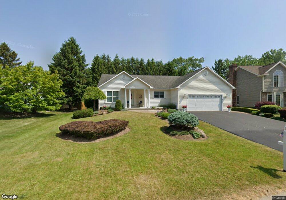
5069 Roseanne Dr Liverpool, NY 13088
Estimated Value: $300,000 - $366,000
3
Beds
2
Baths
1,771
Sq Ft
$193/Sq Ft
Est. Value
About This Home
This home is located at 5069 Roseanne Dr, Liverpool, NY 13088 and is currently estimated at $341,049, approximately $192 per square foot. 5069 Roseanne Dr is a home located in Onondaga County with nearby schools including North Syracuse Junior High School, Cicero North Syracuse High School, and Little Lamb Christian School.
Ownership History
Date
Name
Owned For
Owner Type
Purchase Details
Closed on
Sep 23, 2022
Sold by
Hutson Cynthia A
Bought by
Hutson Kriston M
Current Estimated Value
Purchase Details
Closed on
Mar 2, 2017
Sold by
Race Betsy J
Bought by
Hutson Cynthia A
Purchase Details
Closed on
Jul 13, 1998
Sold by
Omara Margaret M
Bought by
Race Robert J and Race Betsy J
Create a Home Valuation Report for This Property
The Home Valuation Report is an in-depth analysis detailing your home's value as well as a comparison with similar homes in the area
Home Values in the Area
Average Home Value in this Area
Purchase History
| Date | Buyer | Sale Price | Title Company |
|---|---|---|---|
| Hutson Kriston M | -- | None Available | |
| Hutson Cynthia A | -- | Terri Conti York | |
| Hutson Cynthia A | -- | Terri Conti York | |
| Hutson Cynthia A | -- | Terri Conti York | |
| Hutson Cynthia A | -- | Terri Conti York | |
| Race Robert J | $28,500 | -- | |
| Race Robert J | $28,500 | -- |
Source: Public Records
Tax History Compared to Growth
Tax History
| Year | Tax Paid | Tax Assessment Tax Assessment Total Assessment is a certain percentage of the fair market value that is determined by local assessors to be the total taxable value of land and additions on the property. | Land | Improvement |
|---|---|---|---|---|
| 2024 | $3,492 | $7,800 | $1,000 | $6,800 |
| 2023 | $7,164 | $7,800 | $1,000 | $6,800 |
| 2022 | $7,735 | $7,800 | $1,000 | $6,800 |
| 2021 | $7,647 | $7,800 | $1,000 | $6,800 |
| 2020 | $4,265 | $7,800 | $1,000 | $6,800 |
| 2019 | $1,904 | $7,800 | $1,000 | $6,800 |
| 2018 | $2,658 | $7,800 | $1,000 | $6,800 |
| 2017 | $2,011 | $7,800 | $1,000 | $6,800 |
| 2016 | $2,711 | $7,800 | $1,000 | $6,800 |
| 2015 | -- | $7,800 | $1,000 | $6,800 |
| 2014 | -- | $7,800 | $1,000 | $6,800 |
Source: Public Records
Map
Nearby Homes
- 5039 Briarledge Rd
- 7369 Cedar Post Rd
- 0 Buckley Rd
- 4976 W Taft Rd
- 206 Allen Rd
- 107 Rogers Ln
- 4960 Harvest Ln
- 4936 Windgate Rd
- 117 Red Barn Cir
- 4959 Wintersweet Dr
- 7385 Oakpost Rd
- 105 Rebecca St
- 4316 Lazybrook Cir
- 230 Crestwood Dr
- 308 Victoria Park Dr
- 112 Emerald Dr
- 102 Waterbury Dr
- 216 Crestwood Dr
- 301 Colony Park Dr
- 214 Baxton St