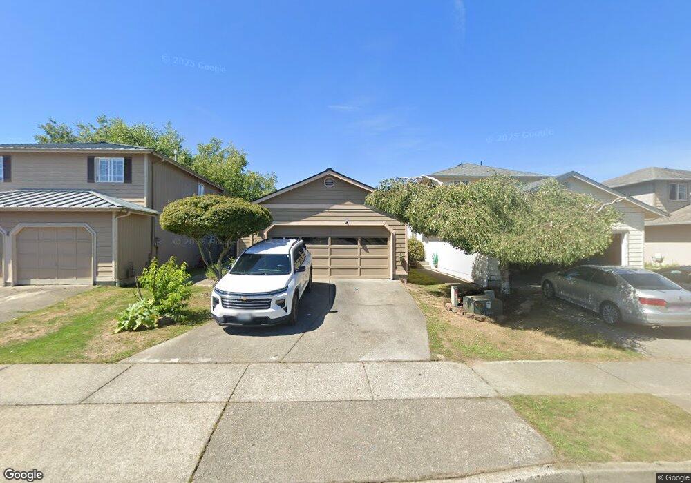
507 7th St Unit 20 Sultan, WA 98294
Estimated Value: $370,000 - $445,000
3
Beds
1
Bath
924
Sq Ft
$444/Sq Ft
Est. Value
About This Home
This home is located at 507 7th St Unit 20, Sultan, WA 98294 and is currently estimated at $410,356, approximately $444 per square foot. 507 7th St Unit 20 is a home located in Snohomish County with nearby schools including Sultan Senior High School.
Ownership History
Date
Name
Owned For
Owner Type
Purchase Details
Closed on
Aug 5, 2010
Sold by
The Bank Of New York Mellon Trust
Bought by
Guzman Daniel and Ochoa Arasele B
Current Estimated Value
Home Financials for this Owner
Home Financials are based on the most recent Mortgage that was taken out on this home.
Original Mortgage
$109,844
Outstanding Balance
$72,507
Interest Rate
4.51%
Mortgage Type
New Conventional
Estimated Equity
$337,849
Purchase Details
Closed on
Mar 10, 2010
Sold by
Thompson Doug and Thompson Tami E
Bought by
The Bank Of New York Mellon Trust Compan and The Bank Of New York Trust Company Na
Purchase Details
Closed on
Feb 18, 2000
Sold by
Db Johnson Construction Inc
Bought by
Thompson Doug J and Thompson Tami E
Home Financials for this Owner
Home Financials are based on the most recent Mortgage that was taken out on this home.
Original Mortgage
$130,950
Interest Rate
8.16%
Create a Home Valuation Report for This Property
The Home Valuation Report is an in-depth analysis detailing your home's value as well as a comparison with similar homes in the area
Home Values in the Area
Average Home Value in this Area
Purchase History
| Date | Buyer | Sale Price | Title Company |
|---|---|---|---|
| Guzman Daniel | $106,000 | Accommodation | |
| The Bank Of New York Mellon Trust Compan | $101,455 | First American | |
| Thompson Doug J | $130,950 | Evergreen Title Company Inc |
Source: Public Records
Mortgage History
| Date | Status | Borrower | Loan Amount |
|---|---|---|---|
| Open | Guzman Daniel | $109,844 | |
| Previous Owner | Thompson Doug J | $130,950 |
Source: Public Records
Tax History
| Year | Tax Paid | Tax Assessment Tax Assessment Total Assessment is a certain percentage of the fair market value that is determined by local assessors to be the total taxable value of land and additions on the property. | Land | Improvement |
|---|---|---|---|---|
| 2025 | $3,133 | $381,600 | $211,200 | $170,400 |
| 2024 | $3,133 | $353,700 | $183,300 | $170,400 |
| 2023 | $2,883 | $368,300 | $194,000 | $174,300 |
| 2022 | $2,573 | $282,300 | $144,000 | $138,300 |
| 2020 | $2,343 | $233,700 | $111,000 | $122,700 |
| 2019 | $2,019 | $209,400 | $94,000 | $115,400 |
| 2018 | $2,062 | $173,100 | $65,500 | $107,600 |
| 2017 | $1,770 | $147,200 | $47,000 | $100,200 |
| 2016 | $1,910 | $155,400 | $58,000 | $97,400 |
Source: Public Records
Map
Nearby Homes
- 307 8th St Unit 7
- 712 Alder St
- 731 High Ave
- 204 Date Ave
- 712 3rd St
- 111 Cedar Ave Unit 1
- 512 1st St
- 0 138th St SE
- 907 Bryant Rd
- 1122 Dyer Rd
- 14055 Sultan Basin Rd
- 1338 Cascade St
- 13916 302nd Ave SE
- 212 Old Owen Rd Unit 59
- 212 Old Owen Rd Unit 43
- 1326 11th St
- 1528 Gohr Rd
- 32302 135th Place SE
- 32306 135th Place SE
- 32310 135th Place SE
- 505 7th St
- 505 7th St Unit 21
- 503 7th St Unit 22
- 511 7th St Unit 18
- 501 7th St Unit 23
- 513 7th St Unit 17
- 700 Lois Ln Unit 38
- 701 Date Ave Unit 24
- 701 Lois Ln Unit 16
- 702 Lois Ln Unit 37
- 703 Date Ave Unit 25
- 708 Murphy Way
- 703 Lois Ln Unit 15
- 704 Lois Ln Unit 36
- 705 Date Ave Unit 26
- 705 Lois Ln Unit 14
- 706 Lois Ln Unit 35
- 707 Date Ave Unit 27
- 640 Date Ave
- 624 Date Ave
Your Personal Tour Guide
Ask me questions while you tour the home.