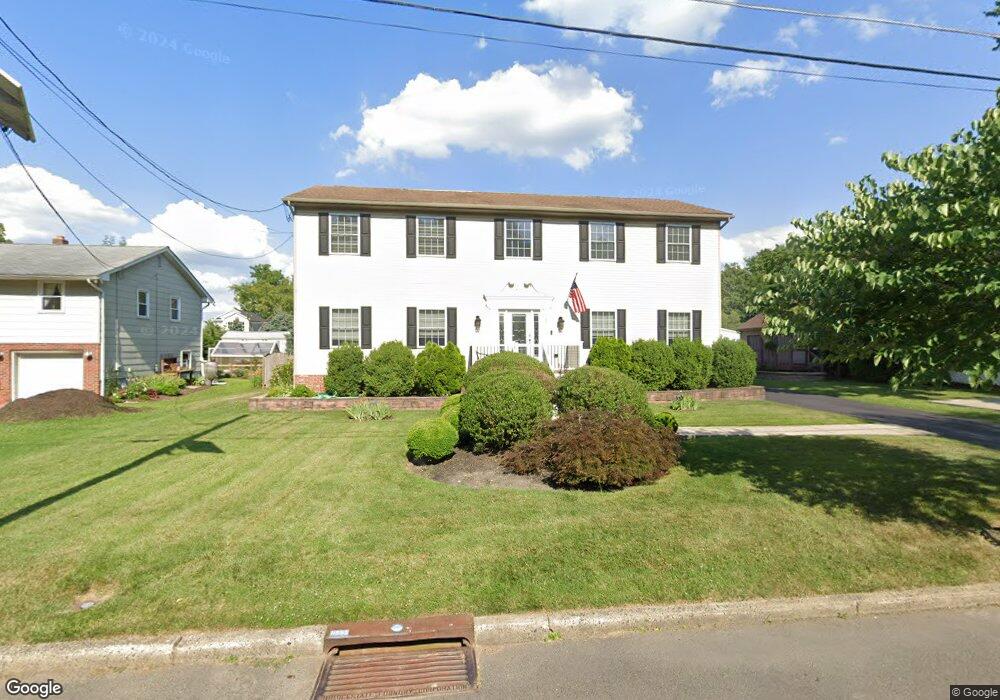
507 Beechwood Ave Haddonfield, NJ 08033
Haddon Township NeighborhoodEstimated Value: $738,000 - $767,860
--
Bed
--
Bath
2,822
Sq Ft
$267/Sq Ft
Est. Value
About This Home
This home is located at 507 Beechwood Ave, Haddonfield, NJ 08033 and is currently estimated at $752,215, approximately $266 per square foot. 507 Beechwood Ave is a home located in Camden County with nearby schools including William G. Rohrer Middle School, Haddon Township High School, and Paul VI High School.
Ownership History
Date
Name
Owned For
Owner Type
Purchase Details
Closed on
May 18, 2005
Sold by
English Mark
Bought by
Maronski Penny
Current Estimated Value
Home Financials for this Owner
Home Financials are based on the most recent Mortgage that was taken out on this home.
Original Mortgage
$259,900
Interest Rate
5.59%
Purchase Details
Closed on
Jan 29, 2004
Sold by
Wydra Carl
Bought by
English Mark
Create a Home Valuation Report for This Property
The Home Valuation Report is an in-depth analysis detailing your home's value as well as a comparison with similar homes in the area
Home Values in the Area
Average Home Value in this Area
Purchase History
| Date | Buyer | Sale Price | Title Company |
|---|---|---|---|
| Maronski Penny | $399,900 | -- | |
| English Mark | $50,000 | -- |
Source: Public Records
Mortgage History
| Date | Status | Borrower | Loan Amount |
|---|---|---|---|
| Previous Owner | Maronski Penny | $259,900 | |
| Closed | English Mark | -- |
Source: Public Records
Tax History Compared to Growth
Tax History
| Year | Tax Paid | Tax Assessment Tax Assessment Total Assessment is a certain percentage of the fair market value that is determined by local assessors to be the total taxable value of land and additions on the property. | Land | Improvement |
|---|---|---|---|---|
| 2025 | $14,290 | $649,200 | $149,900 | $499,300 |
| 2024 | $13,865 | $343,100 | $90,300 | $252,800 |
| 2023 | $13,865 | $343,100 | $90,300 | $252,800 |
| 2022 | $13,611 | $343,100 | $90,300 | $252,800 |
| 2021 | $13,714 | $343,100 | $90,300 | $252,800 |
| 2020 | $13,559 | $343,100 | $90,300 | $252,800 |
| 2019 | $13,069 | $343,100 | $90,300 | $252,800 |
| 2018 | $12,986 | $343,100 | $90,300 | $252,800 |
| 2017 | $12,763 | $343,100 | $90,300 | $252,800 |
| 2016 | $12,523 | $343,100 | $90,300 | $252,800 |
| 2015 | $12,115 | $343,100 | $90,300 | $252,800 |
| 2014 | $11,906 | $343,100 | $90,300 | $252,800 |
Source: Public Records
Map
Nearby Homes
- 510 Rhoads Ave
- 501 Rhoads Ave
- 310 Briarwood Ave
- 268 Buckner Ave
- 110 Westmont Ave
- 209 Westmont Ave
- 656 W Crystal Lake Ave
- 315 Peyton Ave
- 219 Lafayette Rd
- 208 E Pine St
- 740 S Atlantic Ave
- 608 S Atlantic Ave
- 634 W Redman Ave
- 210 Carlisle Rd
- 310 Cuthbert Blvd
- 1108 Stokes Ave
- 38 Birchall Dr
- 21 N Davis Ave
- 138 S Haviland Ave
- 117 Haddon Ave
- 511 Beechwood Ave
- 501 Beechwood Ave
- 513 Beechwood Ave
- 512 Rhoads Ave
- 508 Rhoads Ave
- 514 Rhoads Ave
- 302 Beechwood Ave
- 510 Beechwood Ave
- 514 Beechwood Ave
- 517 Rhoads Ave
- 519 Rhoads Ave
- 515 Rhoads Ave
- 511 Rhoads Ave
- 509 Rhoads Ave
- 525 Rhoads Ave
- 402 2nd St
- 518 Beechwood Ave
- 507 Rhoads Ave
- 401 2nd St
- 402 1st St