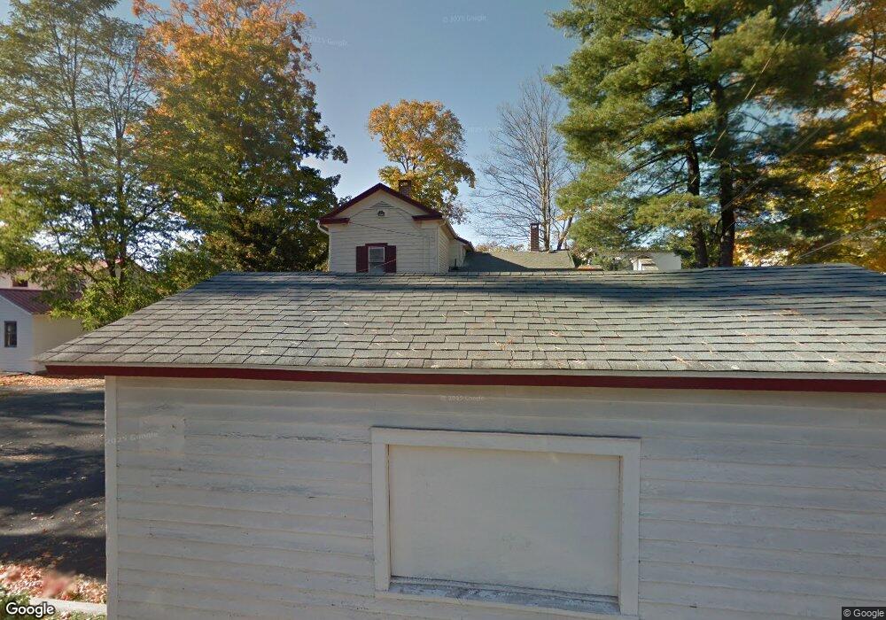
507 Broad St Milford, PA 18337
Estimated Value: $264,865
--
Bed
1
Bath
3,267
Sq Ft
$81/Sq Ft
Est. Value
About This Home
This home is located at 507 Broad St, Milford, PA 18337 and is currently estimated at $264,865, approximately $81 per square foot. 507 Broad St is a home located in Pike County with nearby schools including Delaware Valley High School.
Ownership History
Date
Name
Owned For
Owner Type
Purchase Details
Closed on
Oct 26, 2020
Sold by
Center Street Holdings Llc
Bought by
Corter Guy and Corter Lynn
Current Estimated Value
Purchase Details
Closed on
Oct 23, 2015
Sold by
Mist Enterprises Llc
Bought by
Center Street Holdings Llc
Home Financials for this Owner
Home Financials are based on the most recent Mortgage that was taken out on this home.
Original Mortgage
$98,250
Interest Rate
3.9%
Mortgage Type
Future Advance Clause Open End Mortgage
Create a Home Valuation Report for This Property
The Home Valuation Report is an in-depth analysis detailing your home's value as well as a comparison with similar homes in the area
Home Values in the Area
Average Home Value in this Area
Purchase History
| Date | Buyer | Sale Price | Title Company |
|---|---|---|---|
| Corter Guy | $180,000 | Hometown Abstract Co | |
| Center Street Holdings Llc | $131,000 | First American Title Ins Co |
Source: Public Records
Mortgage History
| Date | Status | Borrower | Loan Amount |
|---|---|---|---|
| Previous Owner | Center Street Holdings Llc | $98,250 |
Source: Public Records
Tax History Compared to Growth
Tax History
| Year | Tax Paid | Tax Assessment Tax Assessment Total Assessment is a certain percentage of the fair market value that is determined by local assessors to be the total taxable value of land and additions on the property. | Land | Improvement |
|---|---|---|---|---|
| 2025 | $8,757 | $47,680 | $31,520 | $16,160 |
| 2024 | $8,757 | $47,680 | $31,520 | $16,160 |
| 2023 | $8,757 | $47,680 | $31,520 | $16,160 |
| 2022 | $8,568 | $47,680 | $31,520 | $16,160 |
| 2021 | $8,735 | $47,680 | $31,520 | $16,160 |
| 2020 | $8,639 | $47,680 | $31,520 | $16,160 |
| 2019 | $8,418 | $47,680 | $31,520 | $16,160 |
| 2018 | $8,418 | $47,680 | $31,520 | $16,160 |
| 2017 | $8,241 | $47,680 | $31,520 | $16,160 |
| 2016 | $0 | $47,680 | $31,520 | $16,160 |
| 2015 | -- | $47,680 | $31,520 | $16,160 |
| 2014 | -- | $47,680 | $31,520 | $16,160 |
Source: Public Records
Map
Nearby Homes
- 509 Broad St
- 112 W High St
- 208 E High St
- 408 5th St
- 619 5th St
- 212 W John St
- 105 Bennett Ave
- Lot 469 W Sarah St
- LOT 600 W High St
- 107 Broad St
- 203 W Harford St
- 311 W Catherine St
- 134 Bennett Ave
- 106 Mill St
- Lot 54 Skyline Dr
- Lot 59 Skyline Dr
- 121 Millcreek Ct
- 0 Route 6 & 209 Unit PWBPW252055
- 110 Shadow Ln
- 00 Minisink Ct
- 511 Broad St
- 512 Broad St
- lot 4 Us Highway 6
- 75 Us Highway 6
- 106 W Plum Alley
- 105 E George St
- 105 E George St
- 105 E George St
- 105 E George St
- 107 E George St
- 0 Broad St
- 413 Broad St
- 413 Broad St
- 105 E High St
- 110 E High St
- 113 E George St
- 601 Broad St
- Lot 113 Tom Quick Rd
- 108 E George St
- 107 E High St