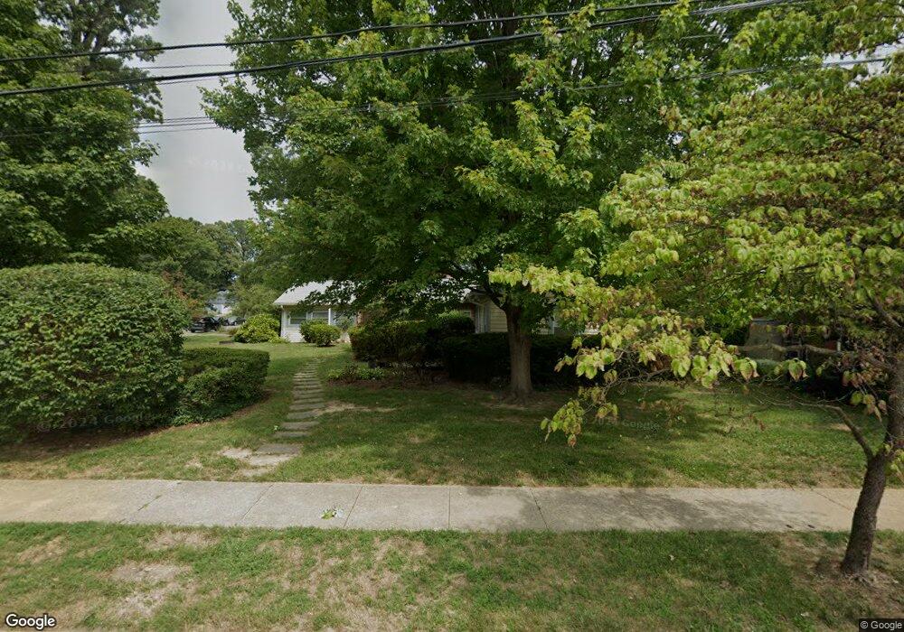
507 Carroll Ave Laurel, MD 20707
Estimated Value: $550,509 - $667,000
4
Beds
2
Baths
2,484
Sq Ft
$240/Sq Ft
Est. Value
About This Home
This home is located at 507 Carroll Ave, Laurel, MD 20707 and is currently estimated at $596,877, approximately $240 per square foot. 507 Carroll Ave is a home located in Prince George's County with nearby schools including Laurel Elementary School, Dwight D. Eisenhower Middle School, and Laurel High School.
Ownership History
Date
Name
Owned For
Owner Type
Purchase Details
Closed on
Jul 3, 2007
Sold by
Schmidthelen L Living Trust
Bought by
Schmidthelen L Living Trust
Current Estimated Value
Purchase Details
Closed on
Apr 28, 2006
Sold by
Schmidt Helen L
Bought by
Schmidthelen L Living Trust
Purchase Details
Closed on
Feb 13, 2006
Sold by
Schmidt Helen L
Bought by
Schmidthelen L Living Trust
Purchase Details
Closed on
Mar 28, 2003
Sold by
Schmidthelen L Trustee
Bought by
Schmidt Helen L
Purchase Details
Closed on
Nov 16, 1999
Sold by
Schmidt Helen L
Bought by
Schmidthelen L Trustee
Create a Home Valuation Report for This Property
The Home Valuation Report is an in-depth analysis detailing your home's value as well as a comparison with similar homes in the area
Home Values in the Area
Average Home Value in this Area
Purchase History
| Date | Buyer | Sale Price | Title Company |
|---|---|---|---|
| Schmidthelen L Living Trust | -- | -- | |
| Schmidthelen L Living Trust | -- | -- | |
| Schmidthelen L Living Trust | -- | -- | |
| Schmidt Helen L | -- | -- | |
| Schmidthelen L Trustee | -- | -- |
Source: Public Records
Tax History
| Year | Tax Paid | Tax Assessment Tax Assessment Total Assessment is a certain percentage of the fair market value that is determined by local assessors to be the total taxable value of land and additions on the property. | Land | Improvement |
|---|---|---|---|---|
| 2025 | $9,048 | $613,900 | $101,600 | $512,300 |
| 2024 | $9,048 | $581,300 | -- | -- |
| 2023 | $9,048 | $548,700 | $0 | $0 |
| 2022 | $8,510 | $516,100 | $101,600 | $414,500 |
| 2021 | $15,884 | $484,867 | $0 | $0 |
| 2020 | $0 | $453,633 | $0 | $0 |
| 2019 | $8,275 | $422,400 | $75,800 | $346,600 |
| 2018 | $5,078 | $382,067 | $0 | $0 |
| 2017 | $5,497 | $341,733 | $0 | $0 |
| 2016 | -- | $301,400 | $0 | $0 |
| 2015 | -- | $295,833 | $0 | $0 |
| 2014 | $4,932 | $290,267 | $0 | $0 |
Source: Public Records
Map
Nearby Homes
- 413 Talbott Ave
- 505A Montgomery St
- 509 4th St
- 501 8th St
- 322 Laurel Ave
- 19 Post Office Ave Unit 203
- 910 Montgomery St Unit A
- 903 Montrose Ave
- 1000 8th St
- 916 Philip Powers Dr
- 1016 Phillip Powers Dr
- 1012 Ward St
- 9401 Riverbrink Ct
- 1103 Montgomery St
- 1116 Westview Terrace
- 9575 Cissell Ave
- 15012 Wheatland Place
- 9425 Fairview Ave
- Lot 5 Cissell Ave
- 1028 Ward St
Your Personal Tour Guide
Ask me questions while you tour the home.