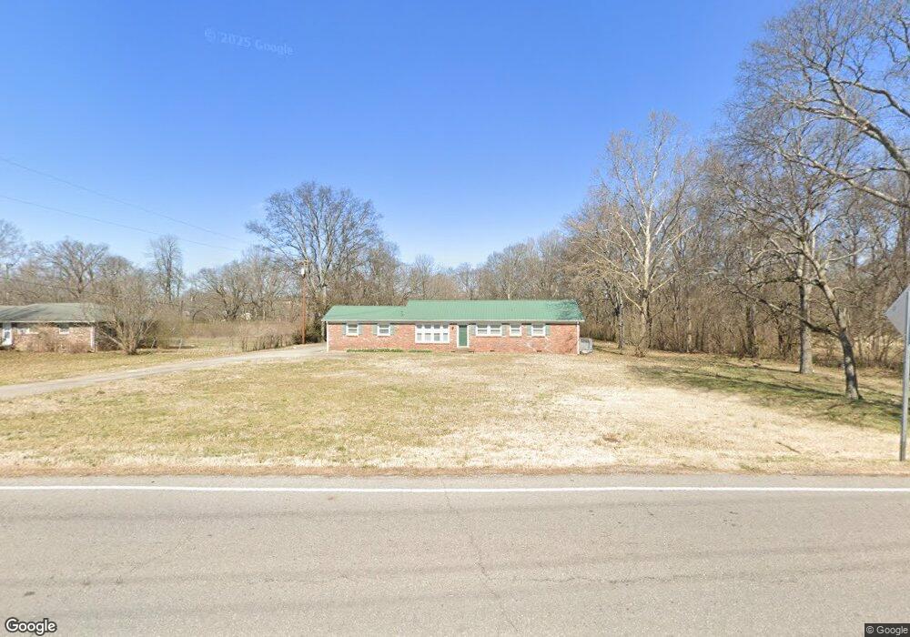
507 Ewing Dr Nashville, TN 37207
Talbot's Corner NeighborhoodEstimated Value: $342,000 - $401,000
3
Beds
2
Baths
1,665
Sq Ft
$228/Sq Ft
Est. Value
About This Home
This home is located at 507 Ewing Dr, Nashville, TN 37207 and is currently estimated at $380,103, approximately $228 per square foot. 507 Ewing Dr is a home located in Davidson County with nearby schools including Alex Green Elementary School, Old Center Elementary, and Brick Church Middle School.
Ownership History
Date
Name
Owned For
Owner Type
Purchase Details
Closed on
Feb 19, 2024
Sold by
Gregory Billy Garrett and Gregory Estelle Allen
Bought by
Flake Jim F and Flake Martha N
Current Estimated Value
Purchase Details
Closed on
Jan 24, 1995
Sold by
Gregory Billy G and Gregory Victor E
Bought by
Metro Development & Housing Agency
Purchase Details
Closed on
Jun 27, 1994
Sold by
Gregory Billy G
Bought by
I M F M Inc
Create a Home Valuation Report for This Property
The Home Valuation Report is an in-depth analysis detailing your home's value as well as a comparison with similar homes in the area
Home Values in the Area
Average Home Value in this Area
Purchase History
| Date | Buyer | Sale Price | Title Company |
|---|---|---|---|
| Flake Jim F | $304,000 | None Listed On Document | |
| Metro Development & Housing Agency | $7,800 | -- | |
| I M F M Inc | $3,000 | -- |
Source: Public Records
Tax History Compared to Growth
Tax History
| Year | Tax Paid | Tax Assessment Tax Assessment Total Assessment is a certain percentage of the fair market value that is determined by local assessors to be the total taxable value of land and additions on the property. | Land | Improvement |
|---|---|---|---|---|
| 2024 | $1,870 | $57,475 | $14,925 | $42,550 |
| 2023 | $1,870 | $57,475 | $14,925 | $42,550 |
| 2022 | $1,870 | $57,475 | $14,925 | $42,550 |
| 2021 | $1,890 | $57,475 | $14,925 | $42,550 |
| 2020 | $1,674 | $39,650 | $9,075 | $30,575 |
| 2019 | $1,251 | $39,650 | $9,075 | $30,575 |
| 2018 | $1,251 | $39,650 | $9,075 | $30,575 |
| 2017 | $1,251 | $39,650 | $9,075 | $30,575 |
| 2016 | $1,307 | $28,950 | $6,375 | $22,575 |
| 2015 | $1,307 | $28,950 | $6,375 | $22,575 |
| 2014 | $1,307 | $28,950 | $6,375 | $22,575 |
Source: Public Records
Map
Nearby Homes
- 456 Ewing Ln
- 3133 Greggwood Dr
- 2941 Vista Ln
- 3027 Capps Dr
- 439 Ewing Dr
- 3205 Ewingdale Dr
- 430 Ewing Dr
- 2144 W Richmond Hill Dr
- 308 Vista Cove
- 3183 Bridgepoint Dr
- 2712 Vista Ln
- 0 Ewing Dr Unit RTC2807170
- 0 Ewing Dr Unit RTC3011325
- 0 Ewing Dr Unit RTC2989232
- 3103 Brick Church Pike
- 388 Ewing Dr
- 804 Willow Trace Ct
- 2408 Woodale Ln
- 3205 Leswood Ln
- 3214 Doverside Dr
- 509 Ewing Dr
- 506 Ewing Dr
- 465 Ewing Ln
- 504 Ewing Dr
- 459 Ewing Ln
- 837 Sherwood Commons Way
- 838 Sherwood Commons Way
- 3067 Gwynnwood Dr
- 836 Sherwood Commons Way
- 835 Sherwood Commons Way
- 834 Sherwood Commons Way
- 833 Sherwood Commons Way
- 3072 Gwynnwood Dr
- 831 Sherwood Commons Way
- 832 Sherwood Commons Way
- 3063 Gwynnwood Dr
- 500 Ewing Dr
- 457 Ewing Ln
- 830 Sherwood Commons Way
- 829 Sherwood Commons Way