A
Seller's Agent in 2025
Ally Trainor
EXP Realty
(732) 285-5885
1 in this area
37 Total Sales
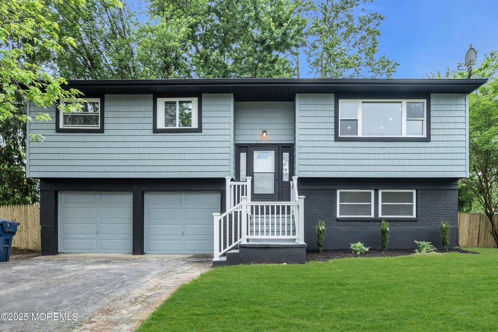
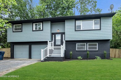
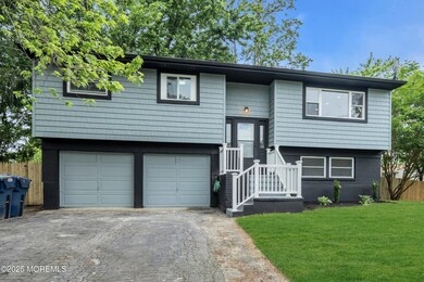
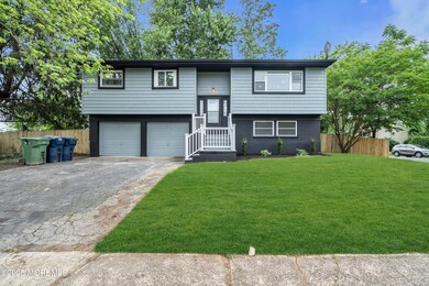
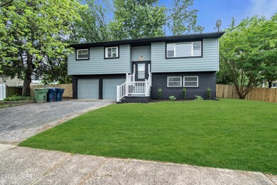
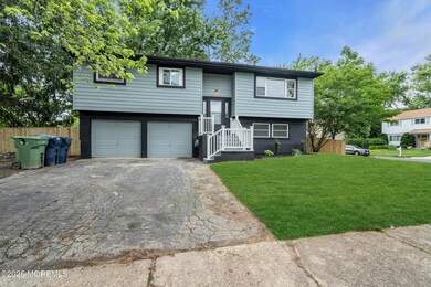
Welcome to 507 Janet Road, a stunning, fully renovated home nestled on a spacious corner lot in the heart of Neptune. Every detail of this 4-bedroom home has been thoughtfully updated, including a brand-new HVAC system and furnace for peace of mind and year-round comfort.
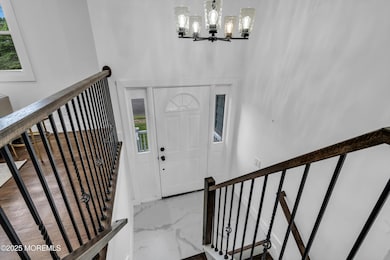
Step into the heart of the home—a bright, modern kitchen featuring quartz countertops, white soft-close cabinetry, stainless steel appliances, and elegant gold hardware. The open-concept design flows into the dining and living areas, with recessed lighting, rich wood floors, and oversized windows that fill the space with natural light.
Outside, enjoy a fully fenced-in backyard—ideal for hosting, and relaxing . The expansive yard and corner lot provide added privacy, space, and curb appeal. Just minutes from the beach, shopping, parks, and major routes, 507 Janet Rd. blends style, comfort, and convenienceready for you to unpack your bags and move right in!
| Date | Type | Sale Price | Title Company |
|---|---|---|---|
| Deed | $650,000 | Commonwealth Title | |
| Deed | $650,000 | Commonwealth Title | |
| Deed | $375,000 | None Listed On Document | |
| Deed | $375,000 | None Listed On Document |
| Date | Status | Loan Amount | Loan Type |
|---|---|---|---|
| Open | $550,000 | New Conventional | |
| Closed | $550,000 | New Conventional | |
| Previous Owner | $433,500 | New Conventional |
| Date | Event | Price | List to Sale | Price per Sq Ft |
|---|---|---|---|---|
| 07/25/2025 07/25/25 | Sold | $650,000 | 0.0% | $384 / Sq Ft |
| 07/01/2025 07/01/25 | Pending | -- | -- | -- |
| 06/19/2025 06/19/25 | For Sale | $650,000 | -- | $384 / Sq Ft |
| Year | Tax Paid | Tax Assessment Tax Assessment Total Assessment is a certain percentage of the fair market value that is determined by local assessors to be the total taxable value of land and additions on the property. | Land | Improvement |
|---|---|---|---|---|
| 2025 | $7,748 | $520,700 | $278,900 | $241,800 |
| 2024 | $6,375 | $442,500 | $240,700 | $201,800 |
| 2023 | $6,375 | $353,000 | $176,200 | $176,800 |
| 2022 | $6,126 | $340,400 | $172,100 | $168,300 |
| 2021 | $5,502 | $289,900 | $160,500 | $129,400 |
| 2020 | $5,729 | $270,500 | $147,900 | $122,600 |
| 2019 | $5,502 | $256,500 | $141,500 | $115,000 |
| 2018 | $5,622 | $259,100 | $133,700 | $125,400 |
| 2017 | $5,501 | $243,500 | $128,100 | $115,400 |
| 2016 | $5,248 | $231,700 | $118,100 | $113,600 |
| 2015 | $4,884 | $219,300 | $108,500 | $110,800 |
| 2014 | $5,375 | $198,400 | $98,500 | $99,900 |
A
Seller's Agent in 2025
Ally Trainor
EXP Realty
(732) 285-5885
1 in this area
37 Total Sales

Buyer's Agent in 2025
Gina Iacobellis
Station Cities
(201) 356-3492
1 in this area
35 Total Sales
Source: MOREMLS (Monmouth Ocean Regional REALTORS®)
MLS Number: 22518084
APN: 35-02710-0000-00001
Disclaimer: Certain information contained herein is derived from information provided by parties other than Homes.com. All information provided is deemed reliable, but is not guaranteed to be accurate and should be independently verified.
![]() IDX information is provided exclusively for personal, non-commercial use, and may not be used for any purpose other than to identify prospective properties consumers may be interested in purchasing.
IDX information is provided exclusively for personal, non-commercial use, and may not be used for any purpose other than to identify prospective properties consumers may be interested in purchasing.
Information is deemed reliable but not guaranteed.