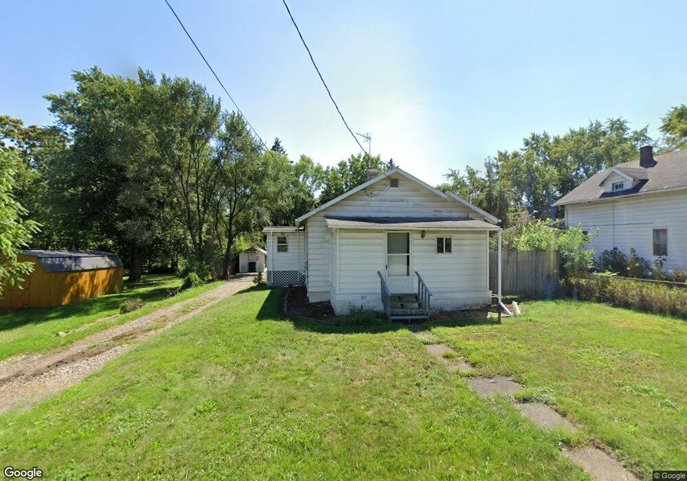
507 King St Mansfield, OH 44903
Estimated Value: $61,582 - $87,000
2
Beds
1
Bath
648
Sq Ft
$116/Sq Ft
Est. Value
About This Home
This home is located at 507 King St, Mansfield, OH 44903 and is currently estimated at $75,146, approximately $115 per square foot. 507 King St is a home located in Richland County with nearby schools including Foundation Academy, Mansfield Elective Academy, and Interactive Media & Construction (IMAC) Academy.
Ownership History
Date
Name
Owned For
Owner Type
Purchase Details
Closed on
Feb 23, 2017
Sold by
Bentley Virginia Helen
Bought by
Blake Roger
Current Estimated Value
Purchase Details
Closed on
Dec 19, 2003
Sold by
Bentley Virginia Helen
Bought by
Blake Roger
Purchase Details
Closed on
Jul 22, 2002
Sold by
Blake Roger W
Bought by
Bentley Virginia H
Purchase Details
Closed on
Oct 29, 1993
Sold by
Barnhart William L
Bought by
Blake Roger W
Purchase Details
Closed on
Sep 9, 1991
Bought by
Barnhart William L
Create a Home Valuation Report for This Property
The Home Valuation Report is an in-depth analysis detailing your home's value as well as a comparison with similar homes in the area
Home Values in the Area
Average Home Value in this Area
Purchase History
| Date | Buyer | Sale Price | Title Company |
|---|---|---|---|
| Blake Roger | -- | Southern Title | |
| Blake Roger | -- | -- | |
| Bentley Virginia H | $20,000 | -- | |
| Blake Roger W | $17,900 | -- | |
| Barnhart William L | -- | -- |
Source: Public Records
Tax History Compared to Growth
Tax History
| Year | Tax Paid | Tax Assessment Tax Assessment Total Assessment is a certain percentage of the fair market value that is determined by local assessors to be the total taxable value of land and additions on the property. | Land | Improvement |
|---|---|---|---|---|
| 2024 | $98 | $11,890 | $1,750 | $10,140 |
| 2023 | $98 | $11,890 | $1,750 | $10,140 |
| 2022 | $17 | $9,060 | $1,590 | $7,470 |
| 2021 | $17 | $9,060 | $1,590 | $7,470 |
| 2020 | $18 | $9,060 | $1,590 | $7,470 |
| 2019 | $20 | $9,060 | $1,590 | $7,470 |
| 2018 | $19 | $9,060 | $1,590 | $7,470 |
| 2017 | $19 | $9,060 | $1,590 | $7,470 |
| 2016 | $107 | $10,440 | $2,520 | $7,920 |
| 2015 | $102 | $10,440 | $2,520 | $7,920 |
| 2014 | $101 | $10,440 | $2,520 | $7,920 |
| 2012 | $93 | $10,440 | $2,650 | $7,790 |
Source: Public Records
Map
Nearby Homes
- 512 Burns St
- 0 Highway 30
- 426 Mcpherson St
- 0 State Route 314 Unit 9069650
- 0 State Route 314 Unit 9067316
- 0 State Route 314 Unit 225021979
- 283 Bulkley Ave
- 0 Voegele Ave Unit Lot 6048, 6049, 6
- 371 Bell St
- 526 Bowman St
- 269 Parkway Dr
- 237 Helen Ave
- 743 Bowman St
- 362-364 W 6th St
- 212 Penn Ave
- 641 Averill Ave
- 156 Buckingham Ave Unit 158
- 185 Rowland Ave
- 170 Western Ave
- 118 Raymond Ave