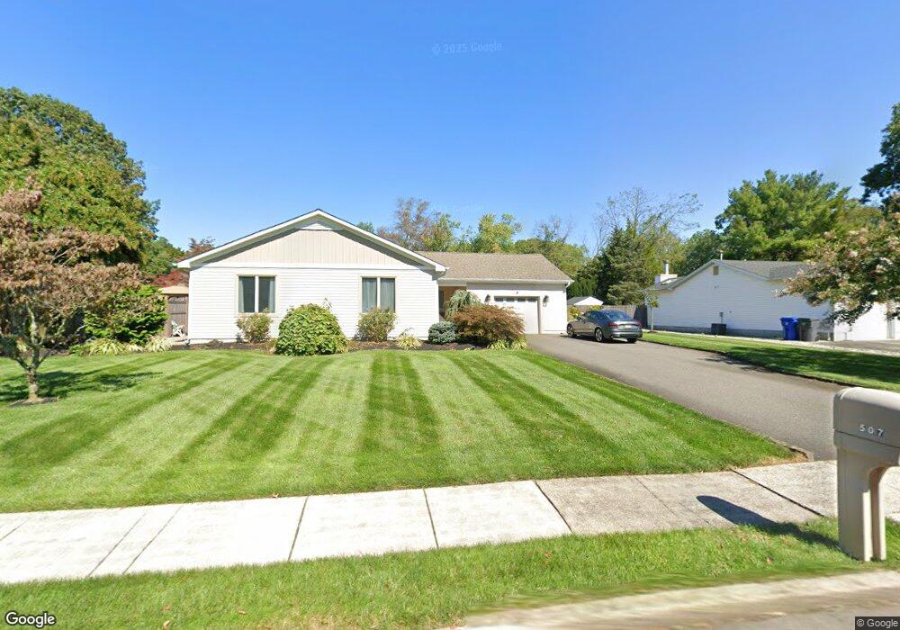
507 Midship Dr Toms River, NJ 08753
Estimated Value: $576,000 - $628,000
3
Beds
3
Baths
2,004
Sq Ft
$296/Sq Ft
Est. Value
About This Home
This home is located at 507 Midship Dr, Toms River, NJ 08753 and is currently estimated at $592,820, approximately $295 per square foot. 507 Midship Dr is a home located in Ocean County with nearby schools including St Joseph Grade School and Donovan Catholic High School.
Ownership History
Date
Name
Owned For
Owner Type
Purchase Details
Closed on
Apr 16, 1999
Sold by
Martin Kenneth F and Martin Tami S
Bought by
Sander Drew C and Sander Maryanne
Current Estimated Value
Home Financials for this Owner
Home Financials are based on the most recent Mortgage that was taken out on this home.
Original Mortgage
$115,000
Outstanding Balance
$29,120
Interest Rate
7.04%
Mortgage Type
Stand Alone First
Estimated Equity
$563,700
Purchase Details
Closed on
Aug 17, 1997
Sold by
Martin Kenneth F and Martin Tami S
Bought by
Martin Kenneth F and Martin Tami S
Create a Home Valuation Report for This Property
The Home Valuation Report is an in-depth analysis detailing your home's value as well as a comparison with similar homes in the area
Home Values in the Area
Average Home Value in this Area
Purchase History
| Date | Buyer | Sale Price | Title Company |
|---|---|---|---|
| Sander Drew C | $165,000 | -- | |
| Martin Kenneth F | -- | -- |
Source: Public Records
Mortgage History
| Date | Status | Borrower | Loan Amount |
|---|---|---|---|
| Open | Sander Drew C | $115,000 |
Source: Public Records
Tax History Compared to Growth
Tax History
| Year | Tax Paid | Tax Assessment Tax Assessment Total Assessment is a certain percentage of the fair market value that is determined by local assessors to be the total taxable value of land and additions on the property. | Land | Improvement |
|---|---|---|---|---|
| 2025 | $7,473 | $410,400 | $118,000 | $292,400 |
| 2024 | $7,104 | $410,400 | $118,000 | $292,400 |
| 2023 | $6,850 | $410,400 | $118,000 | $292,400 |
| 2022 | $6,850 | $410,400 | $118,000 | $292,400 |
| 2021 | $6,207 | $247,800 | $99,300 | $148,500 |
| 2020 | $6,180 | $247,800 | $99,300 | $148,500 |
| 2019 | $5,913 | $247,800 | $99,300 | $148,500 |
| 2018 | $5,833 | $247,800 | $99,300 | $148,500 |
| 2017 | $5,784 | $247,800 | $99,300 | $148,500 |
| 2016 | $5,632 | $247,800 | $99,300 | $148,500 |
| 2015 | $5,419 | $247,800 | $99,300 | $148,500 |
| 2014 | $5,159 | $247,800 | $99,300 | $148,500 |
Source: Public Records
Map
Nearby Homes
- 507 Sloop Ct
- 308 Tradewinds Ave
- 308 Cedar Grove Rd
- 696 Schoolhouse Ln
- 782 Bay Ave
- 241 Lester Rd
- 830 Brookside Dr
- 825 Ethan Ct
- 927 Indian Hill Rd
- 862 Bay Ave
- 711 Bay Ave
- 939 Alden Dr
- 855 Derry Dr
- 348 Cedar Grove Rd
- 718 Arrow Dr
- 741 Spruce Hill Dr
- 707 Cedar Point Ct
- 918 Briar Ave
- 846 Naryshkin Way
- 853 Naryshkin Way