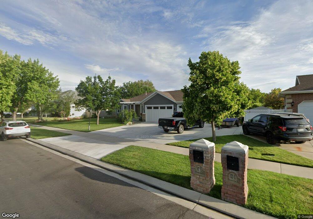
507 Pheasant View Dr Draper, UT 84020
Estimated Value: $875,000 - $949,513
6
Beds
4
Baths
1,968
Sq Ft
$466/Sq Ft
Est. Value
About This Home
This home is located at 507 Pheasant View Dr, Draper, UT 84020 and is currently estimated at $916,128, approximately $465 per square foot. 507 Pheasant View Dr is a home located in Salt Lake County with nearby schools including Corner Canyon High School, Draper Park Middle School, and Summit Academy - Independence.
Ownership History
Date
Name
Owned For
Owner Type
Purchase Details
Closed on
May 24, 2017
Sold by
Brown Darrin
Bought by
Brown Darrin and Brown Debra
Current Estimated Value
Home Financials for this Owner
Home Financials are based on the most recent Mortgage that was taken out on this home.
Original Mortgage
$358,500
Outstanding Balance
$295,231
Interest Rate
3.75%
Mortgage Type
New Conventional
Estimated Equity
$620,897
Purchase Details
Closed on
Oct 1, 2015
Sold by
Goodrich Sam
Bought by
Madsen Colman and Madsen Ashih
Home Financials for this Owner
Home Financials are based on the most recent Mortgage that was taken out on this home.
Original Mortgage
$380,375
Interest Rate
3.12%
Mortgage Type
Adjustable Rate Mortgage/ARM
Purchase Details
Closed on
May 10, 2013
Sold by
Bowen Gary D and Bowen Vickie L
Bought by
Goodrich Sam
Home Financials for this Owner
Home Financials are based on the most recent Mortgage that was taken out on this home.
Original Mortgage
$379,900
Interest Rate
3.54%
Mortgage Type
New Conventional
Purchase Details
Closed on
Jan 26, 1996
Sold by
Bowen Gary D and Bowen Vicki L
Bought by
Bowen Gary D and Bowen Vickie L
Home Financials for this Owner
Home Financials are based on the most recent Mortgage that was taken out on this home.
Original Mortgage
$130,000
Interest Rate
7.25%
Purchase Details
Closed on
May 18, 1994
Sold by
Baker Rocky
Bought by
Bowen Gary D and Bowen Vicki L
Home Financials for this Owner
Home Financials are based on the most recent Mortgage that was taken out on this home.
Original Mortgage
$128,000
Interest Rate
8.52%
Purchase Details
Closed on
Jan 7, 1994
Sold by
Westlake Ltd
Bought by
Baker Rocky
Home Financials for this Owner
Home Financials are based on the most recent Mortgage that was taken out on this home.
Original Mortgage
$128,000
Interest Rate
7.38%
Mortgage Type
Construction
Purchase Details
Closed on
Dec 27, 1993
Sold by
Mcwood Cannon Ii L C
Bought by
Westlake Ltd
Home Financials for this Owner
Home Financials are based on the most recent Mortgage that was taken out on this home.
Original Mortgage
$128,000
Interest Rate
7.38%
Mortgage Type
Construction
Create a Home Valuation Report for This Property
The Home Valuation Report is an in-depth analysis detailing your home's value as well as a comparison with similar homes in the area
Home Values in the Area
Average Home Value in this Area
Purchase History
| Date | Buyer | Sale Price | Title Company |
|---|---|---|---|
| Brown Darrin | -- | Eagle Pointe Title | |
| Brown Darrin L | -- | Backman Title Services | |
| Madsen Colman | -- | Magellan Title | |
| Goodrich Sam | -- | Meridian Title | |
| Bowen Gary D | -- | -- | |
| Bowen Gary D | -- | -- | |
| Baker Rocky | -- | -- | |
| Westlake Ltd | -- | -- |
Source: Public Records
Mortgage History
| Date | Status | Borrower | Loan Amount |
|---|---|---|---|
| Open | Brown Darrin L | $358,500 | |
| Previous Owner | Madsen Colman | $380,375 | |
| Previous Owner | Goodrich Sam | $379,900 | |
| Previous Owner | Bowen Gary D | $130,000 | |
| Previous Owner | Bowen Gary D | $128,000 | |
| Previous Owner | Baker Rocky | $128,000 |
Source: Public Records
Tax History
| Year | Tax Paid | Tax Assessment Tax Assessment Total Assessment is a certain percentage of the fair market value that is determined by local assessors to be the total taxable value of land and additions on the property. | Land | Improvement |
|---|---|---|---|---|
| 2025 | $4,106 | $819,300 | $283,300 | $536,000 |
| 2024 | $4,106 | $784,400 | $272,800 | $511,600 |
| 2023 | $4,058 | $769,600 | $254,500 | $515,100 |
| 2022 | $4,270 | $782,100 | $249,500 | $532,600 |
| 2021 | $3,664 | $573,200 | $235,100 | $338,100 |
| 2020 | $3,505 | $519,800 | $206,300 | $313,500 |
| 2019 | $3,555 | $515,200 | $206,300 | $308,900 |
| 2018 | $3,379 | $500,400 | $194,400 | $306,000 |
| 2017 | $3,179 | $451,100 | $185,000 | $266,100 |
| 2016 | $3,167 | $436,700 | $177,700 | $259,000 |
| 2015 | $3,104 | $396,300 | $181,200 | $215,100 |
| 2014 | $2,918 | $363,900 | $167,000 | $196,900 |
Source: Public Records
Map
Nearby Homes
- 13208 Sunset Glen Way
- 13160 S 300 E
- 480 E Foxstone Cove
- 633 E Vandalay Ln
- 847 E Willow Springs Ln
- 265 E 13275 S
- 902 E 12650 S
- 12959 S Fort St
- 352 E Mistilake Ln Unit 20
- 13520 S Lone Rock Dr
- 311 E Unchartered Ln
- 224 Spencer Peak Way Unit F6
- 12062 S 540 E
- 13294 Trail Rider Cir
- 13216 S Telemark Ln
- 296 E Ireland Ln Unit 101
- 261 E Concord Farm Ln Unit 6
- 834 E 12085 S
- 13554 Bella Monte Dr Unit 113
- 181 Mountain Peak Dr
- 507 E Pheasant View Dr
- 523 Pheasant View Dr
- 512 Ringneck Cir
- 523 E Pheasant View Dr
- 489 Pheasant View Dr
- 489 E Pheasant View Dr
- 526 Ringneck Cir
- 12891 Long Tail Dr
- 12891 S Long Tail Dr
- 498 Pheasant View Dr
- 514 Pheasant View Dr
- 539 Pheasant View Dr
- 539 E Pheasant View Dr
- 12911 S Long Tail Dr
- 12911 Long Tail Dr
- 484 Pheasant View Dr
- 484 E Pheasant View Dr
- 538 E Pheasant View Dr
- 538 Pheasant View Dr
- 12892 S Pheasant Moor Dr
Your Personal Tour Guide
Ask me questions while you tour the home.