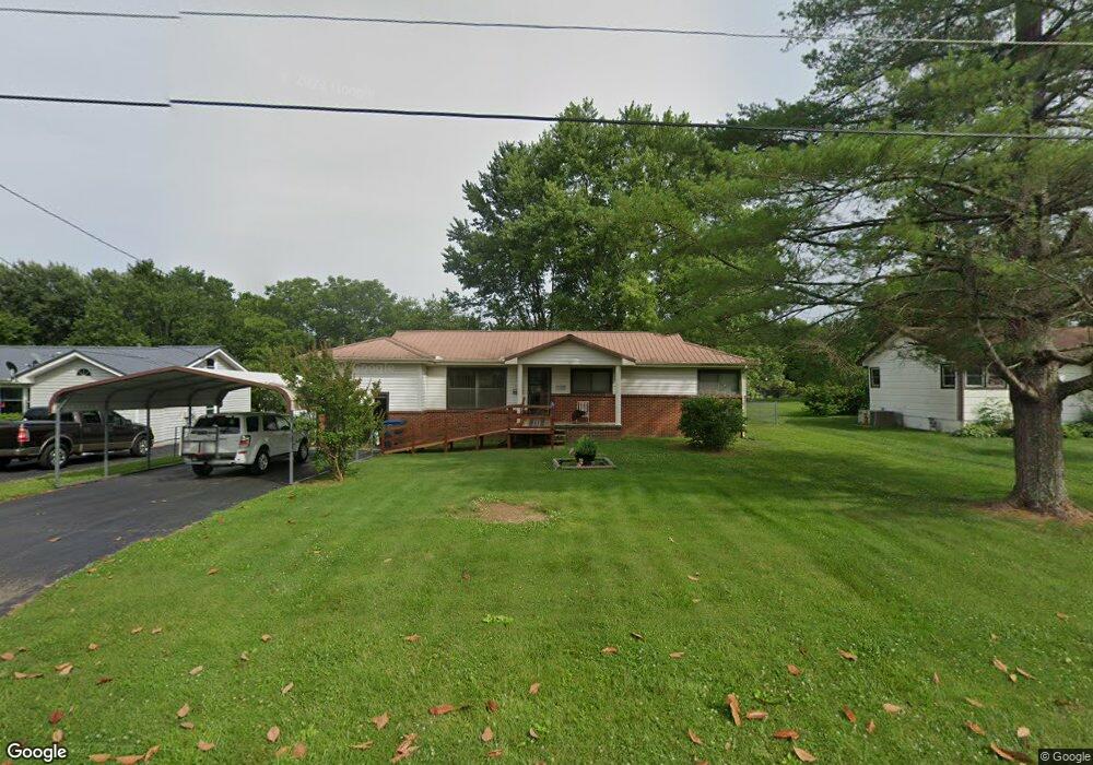
507 Polk St Manchester, TN 37355
Estimated Value: $140,896 - $207,000
--
Bed
1
Bath
1,012
Sq Ft
$173/Sq Ft
Est. Value
About This Home
This home is located at 507 Polk St, Manchester, TN 37355 and is currently estimated at $174,974, approximately $172 per square foot. 507 Polk St is a home located in Coffee County with nearby schools including Westwood Middle School and Temple Baptist Christian School.
Ownership History
Date
Name
Owned For
Owner Type
Purchase Details
Closed on
Feb 11, 2025
Sold by
Ehrhardt Roney Deborah and Ehrhardt Dale Dale
Bought by
Underwood Anthony Shaun
Current Estimated Value
Home Financials for this Owner
Home Financials are based on the most recent Mortgage that was taken out on this home.
Original Mortgage
$209,407
Outstanding Balance
$208,163
Interest Rate
6.91%
Mortgage Type
VA
Estimated Equity
-$33,189
Purchase Details
Closed on
May 16, 2017
Sold by
Ehrhardt Bettie L
Bought by
Ehrhardt Bettie L and Roney Deborah Ehrhardt Etl
Create a Home Valuation Report for This Property
The Home Valuation Report is an in-depth analysis detailing your home's value as well as a comparison with similar homes in the area
Home Values in the Area
Average Home Value in this Area
Purchase History
| Date | Buyer | Sale Price | Title Company |
|---|---|---|---|
| Underwood Anthony Shaun | $205,000 | Gateway Title Services | |
| Underwood Anthony Shaun | $205,000 | Gateway Title Services | |
| Ehrhardt Bettie L | $42,869 | -- |
Source: Public Records
Mortgage History
| Date | Status | Borrower | Loan Amount |
|---|---|---|---|
| Open | Underwood Anthony Shaun | $209,407 | |
| Closed | Underwood Anthony Shaun | $209,407 |
Source: Public Records
Tax History Compared to Growth
Tax History
| Year | Tax Paid | Tax Assessment Tax Assessment Total Assessment is a certain percentage of the fair market value that is determined by local assessors to be the total taxable value of land and additions on the property. | Land | Improvement |
|---|---|---|---|---|
| 2024 | $760 | $18,025 | $3,000 | $15,025 |
| 2023 | $760 | $18,025 | $0 | $0 |
| 2022 | $654 | $18,025 | $3,000 | $15,025 |
| 2021 | $659 | $14,400 | $2,500 | $11,900 |
| 2020 | $659 | $14,400 | $2,500 | $11,900 |
| 2019 | $659 | $14,400 | $2,500 | $11,900 |
| 2018 | $659 | $14,400 | $2,500 | $11,900 |
| 2017 | $734 | $14,000 | $2,500 | $11,500 |
| 2016 | $734 | $14,000 | $2,500 | $11,500 |
| 2015 | $734 | $14,000 | $2,500 | $11,500 |
| 2014 | $734 | $13,993 | $0 | $0 |
Source: Public Records
Map
Nearby Homes
- 602 Johnson St
- 605 Johnson St
- 515 Mckellar Dr
- 608 Henley St
- 1203 Woodland Dr
- 793 Old Bushy Branch Rd
- 1005 Thoma St
- 1014 Hills Chapel Rd
- 416 Powers Rd
- 711 Lowry St
- 802 Lowry St
- 1005 Keylon St
- 902 Mcarthur St
- 107 Grace Ct
- 1610 Summer St
- 709 Mill St
- 537 Shelton Rd
- 820 Keylon St
- 412 E Harp St
- 400 S Ramsey St