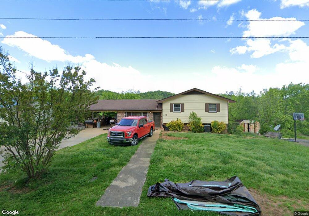
507 Vinson Dr Newport, TN 37821
Estimated Value: $168,881 - $263,000
--
Bed
2
Baths
1,196
Sq Ft
$182/Sq Ft
Est. Value
About This Home
This home is located at 507 Vinson Dr, Newport, TN 37821 and is currently estimated at $218,220, approximately $182 per square foot. 507 Vinson Dr is a home located in Cocke County with nearby schools including Bridgeport Elementary School, Cocke County High School, and Grace Christian School.
Ownership History
Date
Name
Owned For
Owner Type
Purchase Details
Closed on
Mar 17, 2010
Sold by
The Bank Of New York Mello
Bought by
Grooms Robert C
Current Estimated Value
Home Financials for this Owner
Home Financials are based on the most recent Mortgage that was taken out on this home.
Original Mortgage
$102,816
Outstanding Balance
$68,178
Interest Rate
4.99%
Mortgage Type
Cash
Estimated Equity
$150,042
Purchase Details
Closed on
Nov 13, 2009
Sold by
Lane Jody S
Bought by
The Bank Of New York Mellon
Purchase Details
Closed on
Oct 3, 2005
Sold by
Penland Randall
Bought by
Lane Jody Steven
Home Financials for this Owner
Home Financials are based on the most recent Mortgage that was taken out on this home.
Original Mortgage
$125,000
Interest Rate
7.75%
Mortgage Type
Cash
Purchase Details
Closed on
Jul 30, 1998
Bought by
Penland Randall P
Purchase Details
Closed on
May 5, 1992
Bought by
Penland Wilma H
Create a Home Valuation Report for This Property
The Home Valuation Report is an in-depth analysis detailing your home's value as well as a comparison with similar homes in the area
Home Values in the Area
Average Home Value in this Area
Purchase History
| Date | Buyer | Sale Price | Title Company |
|---|---|---|---|
| Grooms Robert C | $100,000 | -- | |
| The Bank Of New York Mellon | $88,650 | -- | |
| Lane Jody Steven | $125,000 | -- | |
| Penland Randall P | $85,000 | -- | |
| Penland Wilma H | $70,500 | -- |
Source: Public Records
Mortgage History
| Date | Status | Borrower | Loan Amount |
|---|---|---|---|
| Open | Penland Wilma H | $102,816 | |
| Previous Owner | Penland Wilma H | $125,000 |
Source: Public Records
Tax History Compared to Growth
Tax History
| Year | Tax Paid | Tax Assessment Tax Assessment Total Assessment is a certain percentage of the fair market value that is determined by local assessors to be the total taxable value of land and additions on the property. | Land | Improvement |
|---|---|---|---|---|
| 2024 | $820 | $32,025 | $5,875 | $26,150 |
| 2023 | $820 | $32,025 | $5,875 | $26,150 |
| 2022 | $821 | $32,025 | $5,875 | $26,150 |
| 2021 | $821 | $32,025 | $5,875 | $26,150 |
| 2020 | $821 | $32,025 | $5,875 | $26,150 |
| 2019 | $742 | $26,225 | $4,025 | $22,200 |
| 2018 | $742 | $26,225 | $4,025 | $22,200 |
| 2017 | $761 | $26,225 | $4,025 | $22,200 |
| 2016 | $678 | $26,225 | $4,025 | $22,200 |
| 2015 | $704 | $26,225 | $4,025 | $22,200 |
| 2014 | $704 | $26,225 | $4,025 | $22,200 |
| 2013 | $704 | $29,350 | $5,375 | $23,975 |
Source: Public Records
Map
Nearby Homes
- 532 Vinson Dr
- 507 Sheila Dr
- Lot 16 Waterford Way
- Lot 15 Waterford Way
- 0 Hwy 160 Unit 707856
- 0 Emerald Springs Way Unit 11469496
- 0 Emerald Springs Way Unit 23079560
- 0 Hwy 160 Unit 1293127
- 771 Commanche Dr
- 991 Missionary Ridge Rd
- Tbd Missionary Ridge Rd
- 704 7th St
- 560 Rack Ln
- 581 Summit Ridge Dr
- 650 8th St
- 000 E Highway 25 70
- 631 6th St
- 286 Belton Ave