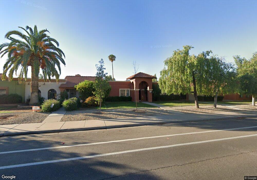
507 W Knox Rd Chandler, AZ 85225
North Chandler NeighborhoodEstimated Value: $288,525 - $405,000
--
Bed
2
Baths
1,397
Sq Ft
$254/Sq Ft
Est. Value
About This Home
This home is located at 507 W Knox Rd, Chandler, AZ 85225 and is currently estimated at $354,631, approximately $253 per square foot. 507 W Knox Rd is a home located in Maricopa County with nearby schools including Sanborn Elementary School, Chandler High School, and Andersen Junior High School.
Ownership History
Date
Name
Owned For
Owner Type
Purchase Details
Closed on
Apr 16, 2024
Sold by
Henry Kenneth L
Bought by
Kenneth L Henry Revocable Trust and Henry
Current Estimated Value
Purchase Details
Closed on
May 23, 2001
Sold by
Baynham Owen R and Baynham Patricia P
Bought by
Baynham Patricia Powell and Baynham Owen Richard
Purchase Details
Closed on
Apr 3, 1997
Sold by
Valenzuela Veronica T
Bought by
Williams David P and Thomas Williams Dorothy Marie
Purchase Details
Closed on
Apr 2, 1997
Sold by
Thomas Williams Dorothy Marie
Bought by
Valenzuela Veronica T
Purchase Details
Closed on
Dec 19, 1994
Sold by
Kray Linda Gene and Williams Linda Gene
Bought by
Henry Kenneth and Henry Pamela
Create a Home Valuation Report for This Property
The Home Valuation Report is an in-depth analysis detailing your home's value as well as a comparison with similar homes in the area
Home Values in the Area
Average Home Value in this Area
Purchase History
| Date | Buyer | Sale Price | Title Company |
|---|---|---|---|
| Kenneth L Henry Revocable Trust | -- | None Listed On Document | |
| Baynham Patricia Powell | -- | First Financial Title Agency | |
| Williams David P | -- | -- | |
| Valenzuela Veronica T | -- | -- | |
| Valenzuela Veronica T | -- | -- | |
| Henry Kenneth | $75,846 | United Title Agency |
Source: Public Records
Tax History Compared to Growth
Tax History
| Year | Tax Paid | Tax Assessment Tax Assessment Total Assessment is a certain percentage of the fair market value that is determined by local assessors to be the total taxable value of land and additions on the property. | Land | Improvement |
|---|---|---|---|---|
| 2025 | $975 | $12,511 | -- | -- |
| 2024 | $941 | $11,915 | -- | -- |
| 2023 | $941 | $28,250 | $5,650 | $22,600 |
| 2022 | $908 | $18,910 | $3,780 | $15,130 |
| 2021 | $952 | $18,880 | $3,770 | $15,110 |
| 2020 | $948 | $16,520 | $3,300 | $13,220 |
| 2019 | $911 | $15,450 | $3,090 | $12,360 |
| 2018 | $883 | $15,220 | $3,040 | $12,180 |
| 2017 | $823 | $14,060 | $2,810 | $11,250 |
| 2016 | $793 | $13,400 | $2,680 | $10,720 |
| 2015 | $768 | $11,570 | $2,310 | $9,260 |
Source: Public Records
Map
Nearby Homes
- 1520 N Hartford St
- 1419 N Vine St
- 440 W Ironwood Dr
- 1580 N Sunset Place
- 1340 N Oregon St
- 728 W Calle Del Norte
- 403 W Gail Dr
- 1505 N Evergreen St Unit 17
- 1505 N Evergreen St Unit 42
- 1955 N Illinois St
- 555 W Warner Rd Unit 127
- 555 W Warner Rd Unit 139
- 555 W Warner Rd Unit 156
- 1100 N California St
- 1961 N Hartford St Unit 1055
- 1961 N Hartford St Unit 1178
- 1961 N Hartford St Unit 1092
- 1970 N Hartford St Unit 84
- 1970 N Hartford St Unit 88
- 1351 N Pleasant Dr Unit 1108