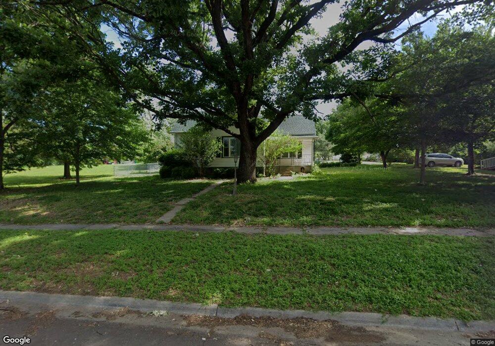
507 W Maple St Saint Marys, KS 66536
Estimated Value: $214,417 - $240,000
3
Beds
2
Baths
1,427
Sq Ft
$159/Sq Ft
Est. Value
About This Home
This home is located at 507 W Maple St, Saint Marys, KS 66536 and is currently estimated at $226,854, approximately $158 per square foot. 507 W Maple St is a home located in Pottawatomie County with nearby schools including St. Marys Elementary School and St. Marys Junior/Senior High School.
Ownership History
Date
Name
Owned For
Owner Type
Purchase Details
Closed on
Oct 9, 2012
Sold by
Hautajarvi Michael L and Hautajarvi Joann
Bought by
Freeman Dominic M and Freeman Ashley L
Current Estimated Value
Home Financials for this Owner
Home Financials are based on the most recent Mortgage that was taken out on this home.
Original Mortgage
$134,175
Outstanding Balance
$93,348
Interest Rate
3.61%
Estimated Equity
$133,506
Purchase Details
Closed on
Jul 6, 2006
Sold by
Dohrman William J and Dohrman Betty Jo
Bought by
Hautajarvi Michael L and Hautajarvi Joann
Home Financials for this Owner
Home Financials are based on the most recent Mortgage that was taken out on this home.
Original Mortgage
$60,000
Interest Rate
6.6%
Create a Home Valuation Report for This Property
The Home Valuation Report is an in-depth analysis detailing your home's value as well as a comparison with similar homes in the area
Home Values in the Area
Average Home Value in this Area
Purchase History
| Date | Buyer | Sale Price | Title Company |
|---|---|---|---|
| Freeman Dominic M | -- | Capital Title Insurance Comp | |
| Hautajarvi Michael L | -- | None Available |
Source: Public Records
Mortgage History
| Date | Status | Borrower | Loan Amount |
|---|---|---|---|
| Open | Freeman Dominic M | $134,175 | |
| Previous Owner | Hautajarvi Michael L | $60,000 |
Source: Public Records
Tax History Compared to Growth
Tax History
| Year | Tax Paid | Tax Assessment Tax Assessment Total Assessment is a certain percentage of the fair market value that is determined by local assessors to be the total taxable value of land and additions on the property. | Land | Improvement |
|---|---|---|---|---|
| 2025 | $1,640 | $20,755 | $2,790 | $17,965 |
| 2024 | $16 | $20,055 | $2,446 | $17,609 |
| 2023 | $1,739 | $19,780 | $2,165 | $17,615 |
| 2022 | $1,585 | $18,928 | $2,036 | $16,892 |
| 2021 | $1,585 | $18,228 | $2,022 | $16,206 |
| 2020 | $1,585 | $18,358 | $2,027 | $16,331 |
| 2019 | $1,581 | $18,158 | $2,027 | $16,131 |
| 2018 | $1,538 | $16,905 | $2,027 | $14,878 |
| 2017 | $1,541 | $16,923 | $1,898 | $15,025 |
| 2016 | $1,425 | $15,950 | $1,524 | $14,426 |
| 2015 | -- | $15,813 | $1,438 | $14,375 |
| 2014 | -- | $15,123 | $1,610 | $13,513 |
Source: Public Records
Map
Nearby Homes
- 300 W Durink St
- 25160 Highway 24
- tract 2 Highway 24
- Lot 8 Valley View Rd
- Lot 1 Valley View Rd
- Lot 5 Valley View Rd
- Lot 20 Valley View Rd
- Lot 13 Valley View Rd
- Lot 4 Valley View Rd
- Lot 2 Valley View Rd
- Lot 17 Valley View Rd
- Lot 6 Valley View Rd
- Lot 19 Valley View Rd
- Lot 18 Valley View Rd
- Lot 24 Valley View Rd
- 1224 N Pawnee Dr
- 28221 Doyle Creek Rd