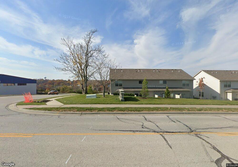
5070 NW Gateway Ave Riverside, MO 64150
Estimated Value: $428,589 - $505,000
4
Beds
4
Baths
2,006
Sq Ft
$227/Sq Ft
Est. Value
About This Home
This home is located at 5070 NW Gateway Ave, Riverside, MO 64150 and is currently estimated at $454,897, approximately $226 per square foot. 5070 NW Gateway Ave is a home located in Platte County with nearby schools including English Landing Elementary School, Lakeview Middle School, and Plaza Middle School.
Ownership History
Date
Name
Owned For
Owner Type
Purchase Details
Closed on
Jul 29, 2025
Sold by
Stroud Robert T
Bought by
Stroud Robert T
Current Estimated Value
Home Financials for this Owner
Home Financials are based on the most recent Mortgage that was taken out on this home.
Original Mortgage
$297,110
Outstanding Balance
$296,855
Interest Rate
6.77%
Mortgage Type
FHA
Estimated Equity
$158,042
Purchase Details
Closed on
Aug 31, 2017
Sold by
Dwyer James G and Dwyer Teresa K
Bought by
Stroud Robert T
Home Financials for this Owner
Home Financials are based on the most recent Mortgage that was taken out on this home.
Original Mortgage
$260,200
Interest Rate
3.92%
Mortgage Type
FHA
Purchase Details
Closed on
Jun 2, 2005
Sold by
T E Wood Constuction Inc
Bought by
Dwyer James G
Home Financials for this Owner
Home Financials are based on the most recent Mortgage that was taken out on this home.
Original Mortgage
$185,940
Interest Rate
5.79%
Mortgage Type
New Conventional
Create a Home Valuation Report for This Property
The Home Valuation Report is an in-depth analysis detailing your home's value as well as a comparison with similar homes in the area
Home Values in the Area
Average Home Value in this Area
Purchase History
| Date | Buyer | Sale Price | Title Company |
|---|---|---|---|
| Stroud Robert T | -- | Carrington Title Services | |
| Stroud Robert T | -- | Carrington Title Services | |
| Stroud Robert T | -- | Continental Title | |
| Dwyer James G | -- | First American Title |
Source: Public Records
Mortgage History
| Date | Status | Borrower | Loan Amount |
|---|---|---|---|
| Open | Stroud Robert T | $297,110 | |
| Closed | Stroud Robert T | $297,110 | |
| Previous Owner | Stroud Robert T | $260,200 | |
| Previous Owner | Dwyer James G | $185,940 |
Source: Public Records
Tax History Compared to Growth
Tax History
| Year | Tax Paid | Tax Assessment Tax Assessment Total Assessment is a certain percentage of the fair market value that is determined by local assessors to be the total taxable value of land and additions on the property. | Land | Improvement |
|---|---|---|---|---|
| 2024 | $4,158 | $63,862 | $9,180 | $54,682 |
| 2023 | $4,158 | $63,862 | $9,180 | $54,682 |
| 2022 | $3,670 | $55,775 | $9,180 | $46,595 |
| 2021 | $3,682 | $55,775 | $9,180 | $46,595 |
| 2020 | $3,295 | $49,489 | $4,940 | $44,549 |
| 2019 | $3,295 | $49,489 | $4,940 | $44,549 |
| 2018 | $3,329 | $49,489 | $4,940 | $44,549 |
| 2017 | $3,333 | $49,489 | $4,940 | $44,549 |
| 2016 | $3,362 | $49,489 | $4,940 | $44,549 |
| 2015 | $3,381 | $49,489 | $4,940 | $44,549 |
| 2013 | $3,280 | $49,489 | $0 | $0 |
Source: Public Records
Map
Nearby Homes
- 3412 NW 50th St
- 5163 NW 47th St
- 4953 NW High Dr
- 5003 NW High Drive Terrace
- 4816 NW High Dr
- 5428 NW Houston Lake Dr
- 2308 NW 53rd Terrace
- 2021 NW 50th Terrace
- 2022 NW 49th Terrace
- 0 NW 50 Terrace
- 5301 NW Waukomis Dr
- 5330 NW Waukomis Dr
- 1845 NW 50th Terrace
- 5521 N Mayview Ave
- 2171 NW Palisades Dr
- 5601 N Flint Ridge Rd
- 4813 NW Northwood Rd
- 5237 N Merrimac Ave
- 5125 NW Frontier St
- 3701 NW 56th St
- 5019 NW Woodside Dr
- 5023 NW Woodside Dr
- 5015 NW Woodside Dr
- 5016 NW Flintridge Rd
- 5020 NW Flintridge Rd
- 5027 NW Woodside Dr
- 5011 NW Woodside Dr
- 5022 NW Woodside Dr
- 5026 NW Woodside Dr
- 5012 NW Flintridge Rd
- 5018 NW Woodside Dr
- 5024 NW Flintridge Rd
- 5030 NW Woodside Dr
- 5007 NW Woodside Dr
- 5031 NW Woodside Dr
- 5008 NW Flintridge Rd
- 5014 NW Woodside Dr
- 5034 NW Woodside Dr
- 5008 NW Flintridge Dr
- 5028 NW Flintridge Rd