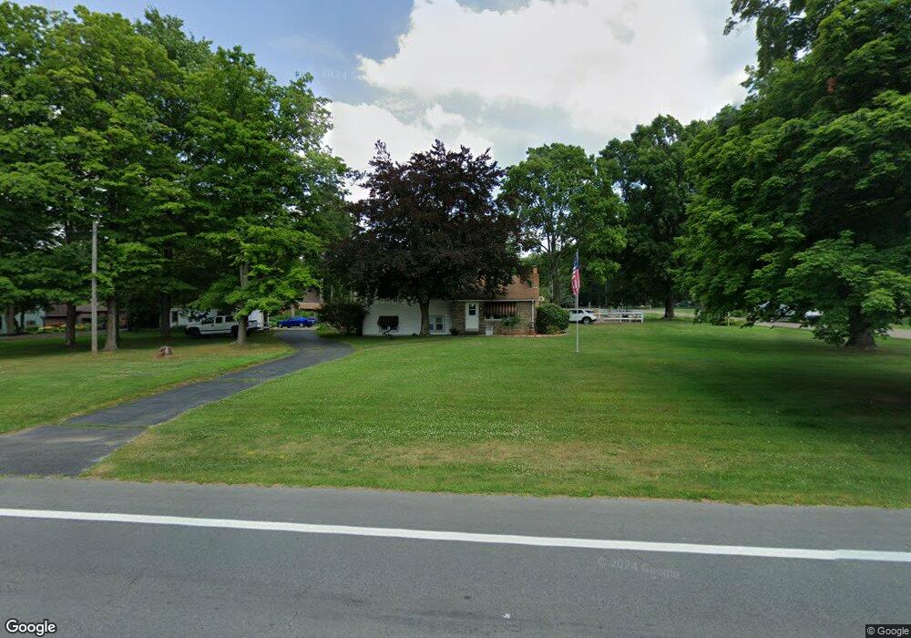
5071 S Canfield Niles Rd Canfield, OH 44406
Estimated Value: $256,789 - $380,000
3
Beds
2
Baths
1,984
Sq Ft
$153/Sq Ft
Est. Value
About This Home
This home is located at 5071 S Canfield Niles Rd, Canfield, OH 44406 and is currently estimated at $303,697, approximately $153 per square foot. 5071 S Canfield Niles Rd is a home located in Mahoning County with nearby schools including Canfield Village Middle School and Canfield High School.
Ownership History
Date
Name
Owned For
Owner Type
Purchase Details
Closed on
Mar 27, 2000
Sold by
Dechurch Carolyn J
Bought by
Lowe Richard F and Lowe Melissa S
Current Estimated Value
Home Financials for this Owner
Home Financials are based on the most recent Mortgage that was taken out on this home.
Original Mortgage
$94,000
Outstanding Balance
$32,179
Interest Rate
8.43%
Estimated Equity
$271,518
Purchase Details
Closed on
Jun 18, 1991
Bought by
Dechurch Rbt M and Dechurch Carolyn
Create a Home Valuation Report for This Property
The Home Valuation Report is an in-depth analysis detailing your home's value as well as a comparison with similar homes in the area
Home Values in the Area
Average Home Value in this Area
Purchase History
| Date | Buyer | Sale Price | Title Company |
|---|---|---|---|
| Lowe Richard F | $124,000 | -- | |
| Dechurch Rbt M | $94,000 | -- |
Source: Public Records
Mortgage History
| Date | Status | Borrower | Loan Amount |
|---|---|---|---|
| Open | Lowe Richard F | $94,000 |
Source: Public Records
Tax History Compared to Growth
Tax History
| Year | Tax Paid | Tax Assessment Tax Assessment Total Assessment is a certain percentage of the fair market value that is determined by local assessors to be the total taxable value of land and additions on the property. | Land | Improvement |
|---|---|---|---|---|
| 2024 | $2,736 | $65,640 | $11,320 | $54,320 |
| 2023 | $2,650 | $65,640 | $11,320 | $54,320 |
| 2022 | $2,671 | $52,860 | $11,320 | $41,540 |
| 2021 | $2,588 | $52,860 | $11,320 | $41,540 |
| 2020 | $2,599 | $52,860 | $11,320 | $41,540 |
| 2019 | $2,605 | $47,440 | $11,320 | $36,120 |
| 2018 | $2,497 | $47,440 | $11,320 | $36,120 |
| 2017 | $2,494 | $47,440 | $11,320 | $36,120 |
| 2016 | $2,301 | $41,630 | $9,780 | $31,850 |
| 2015 | $2,250 | $41,630 | $9,780 | $31,850 |
| 2014 | $2,259 | $41,630 | $9,780 | $31,850 |
| 2013 | $2,177 | $41,630 | $9,780 | $31,850 |
Source: Public Records
Map
Nearby Homes
- 6264 Herbert Rd
- 20 Villa Theresa Ln
- 30 Villa Theresa Ln
- 10 Villa Theresa Ln
- 541 Stoneybrook Ln
- 21 Villa Theresa Ln
- 31 Villa Theresa Ln
- 90 Villa Theresa Ln
- 520 Stoneybrook Ln
- 9 Willow Way
- 0 Shields Rd Unit 5162190
- 0 Shields Rd Unit 5120471
- 395 N Broad St
- 5260 Revere Run
- 230 Deer Trail Ave
- 675 Blueberry Hill Dr
- 755 Blueberry Hill Dr
- 0 Lake Wobegon Dr Unit 5104965
- 0 Lake Wobegon Dr Unit 5104960
- 0 Lake Wobegon Dr Unit 5104948
- 5060 S Canfield Niles Rd
- 60 Curtis Ave
- 5005 S Canfield Niles Rd
- 5080 S Canfield Niles Rd
- 5115 S Canfield Niles Rd
- 50 Curtis Ave
- 5106 S Canfield Niles Rd
- 70 Curtis Ave
- 100 Curtis Ave
- 5735 Revere Run
- 5705 Curtis Ave
- 5165 S Canfield Niles Rd
- 5668 Curtis Ave
- 5685 Revere Run
- 130 Curtis Ave
- 5710 Shields Rd
- 5665 Revere Run
- 5657 Curtis Ave
- 5750 Revere Run
- 5672 Shields Rd